Norrisville in Harford County, Maryland — The American Northeast (Mid-Atlantic)
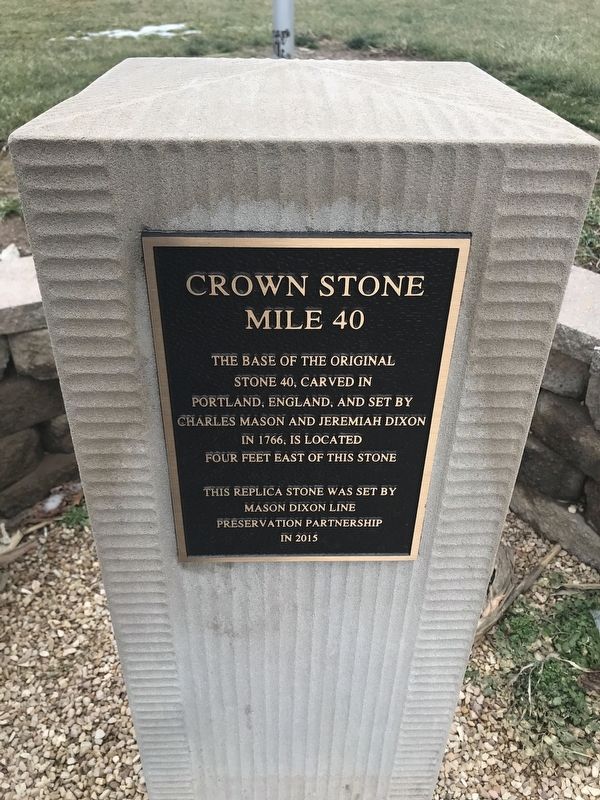
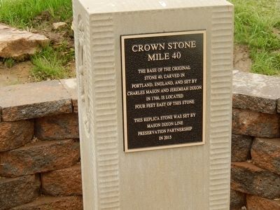
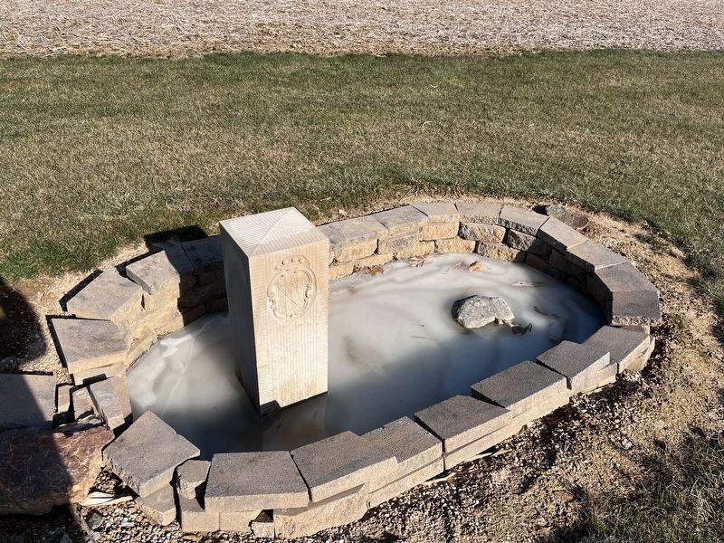
Crown Stone Mile 40
Photographed by Adam Margolis, January 14, 2022
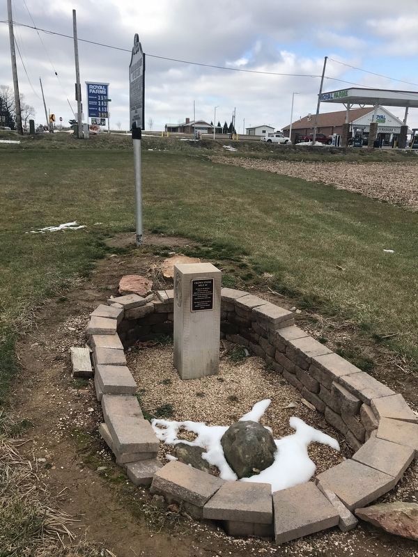
1. Crown Stone Mile 40 Marker
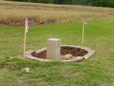
stone 40, carved in
Portland, England, and set by
Charles Mason and Jeremiah Dixon
in 1766, is located
four feet east of this stone.
This replica stone was set by
Mason Dixon Line
Preservation Partnership
Erected 2016.
Topics. This historical marker is listed in this topic list: Political Subdivisions. A significant historical year for this entry is 1766.
Location. 39° 43.271′ N, 76° 32.585′ W. Marker is in Norrisville, Maryland, in Harford County. It is on Maryland Route 23. Touch for map. Marker is in this post office area: White Hall MD 21161, United States of America. Touch for directions.

Regionally, this marker is in the Baltimore Metro Region and in Central Maryland. It is also in the American Mid-Atlantic, in the Chesapeake Bay Region, and on the Eastern Seaboard. Globally, it is in the North Atlantic Region, North America, the Western Hemisphere, the Western World, and the Anglosphere. Historically, it finds itself in what was once one of the original Thirteen Colonies and also the Antebellum South.
Other nearby markers. At least 8 other markers are within 4 miles of this
this page online
Also see . . . Surveyors tackling resurvey of Mason-Dixon Line. AP News website entry (Submitted on February 15, 2024, by Larry Gertner of New York, New York.)
Additional commentary.
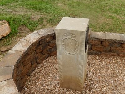
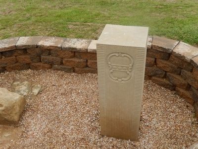
1. Crown Stones
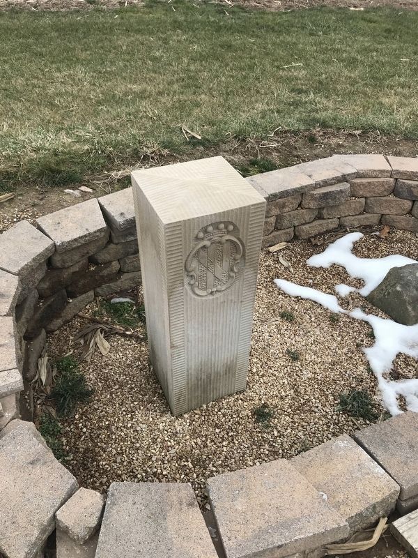
Crown stones were set every 5 miles and contained the Maryland and Pennsylvania crest on the south and north side respectively.
— Submitted May 22, 2016, by Bill Pfingsten of Bel Air, Maryland.
Photographed by Bill Pfingsten, May 22, 2016
2. Crown Stone Mile 40 Marker
Photographed by Bill Pfingsten, May 22, 2016
3. Crown Stone Mile 40 Marker
Photographed by Bill Pfingsten, May 22, 2016
4. Crown Stone Mile 40 - Pennsylvania Side
Photographed by Bill Pfingsten, May 22, 2016
5. Crown Stone Mile 40 Marker
Photographed by Adam Margolis, January 14, 2022
6. Crown Stone Mile 40 Marker
Photographed by Adam Margolis, December 26, 2022
7. Crown Stone Mile 40 Marker
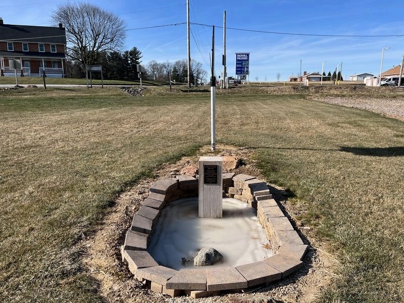
Marker can be seen in the lower center of the image. This view, standing on the Mason-Dixon line, looking west. The original 40 mile Mason and Dixon stone is the small partially destroyed stone closest to the camera, while the 2015 reconstructed replica is the one with the marker just past it in the enclosure.
Photographed by Adam Margolis, January 14, 2022
8. Crown Stone Mile 40 Marker
Photographed by Adam Margolis, December 26, 2022
9. Crown Stone Mile 40 Marker
The original Mason and Dixon 40 mile stone is the rightmost of the two stones in the enclosure. The leftmost is a 2015 replica reproduction of what the original stone would have looked like. Out of all the stones along the northern border of Maryland, the original stone (the one on the right) is one of two undisturbed stones, meaning it has been left untouched since it was original set by Mason and Dixon in 1766. Most other stones have been partially reset and have had a concrete base that was added by a commission of PA and MD state surveyors in the early twentieth century. This stone was left untouched as the landowners at the time did not want state surveyors on their property.
Credits. This page was last revised on February 15, 2024. It was originally submitted on May 22, 2016, by Bill Pfingsten of Bel Air, Maryland. This page has been viewed 904 times since then and 49 times this year. Photos: 1. submitted on January 14, 2022, by Adam Margolis of Mission Viejo, California. 2, 3, 4, 5. submitted on May 22, 2016, by Bill Pfingsten of Bel Air, Maryland. 6. submitted on January 14, 2022, by Adam Margolis of Mission Viejo, California. 7. submitted on January 6, 2023, by Adam Margolis of Mission Viejo, California. 8. submitted on January 14, 2022, by Adam Margolis of Mission Viejo, California. 9. submitted on January 6, 2023, by Adam Margolis of Mission Viejo, California.
