Near Oak Creek in Yavapai County, Arizona — The American Mountains (Southwest)
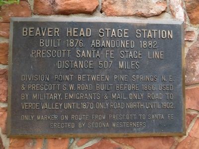
Beaver Head Stage Station
Prescott Santa Fe Stage Line
Distance 507 miles
Only marker on route from Prescott to Santa Fe
Erected by Sedona Westerners.
Topics. This historical marker is listed in these topic lists: Roads & Vehicles • Settlements & Settlers. A significant historical year for this entry is 1876.
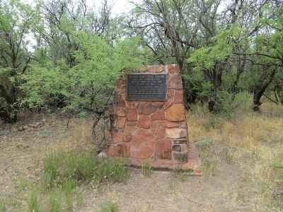
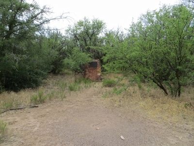
Location. 34° 42.944′ N, 111° 46.826′ W. Marker is near Oak Creek, Arizona, in Yavapai County. Marker can be reached from Arizona Route 179 at milepost 301.6. Marker is 450 feet northwest on trail from north end of parking lot on west side of route 179 at milepost 301.6. Touch for map. Marker is in this post office area: Sedona AZ 86351, United States of America. Touch for directions.
Other nearby markers. At least 8 other markers are within 8 miles of this marker, measured as the crow flies. Historic Bell Trail (approx. 4.9 miles away); Chaves Historic Trail (approx. 5.4 miles away); Macaw Pen Stone? (approx. 7.9 miles away); Welcome to The Castle (approx. 8 miles away); The Community (approx. 8 miles away); The Way Up / Construction Sequence (approx. 8 miles away); The People Next Door (approx. 8 miles away); The Neighborhood / Mysterious Departures (approx. 8 miles away).
Credits. This page was last revised on June 16, 2016. It was originally submitted on May 23, 2016, by Bill Kirchner of Tucson, Arizona. This page has been viewed 959 times since then and 101 times this year. Photos: 1, 2, 3. submitted on May 23, 2016, by Bill Kirchner of Tucson, Arizona.


