Near Marble Canyon in Coconino County, Arizona — The American Mountains (Southwest)
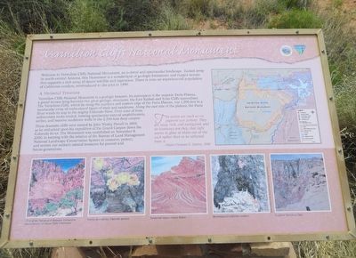
Vermilion Cliffs National Monument
Photographed by Bill Kirchner, May 17, 2016
1. Vermilion Cliffs National Monument Marker
A National Treasure
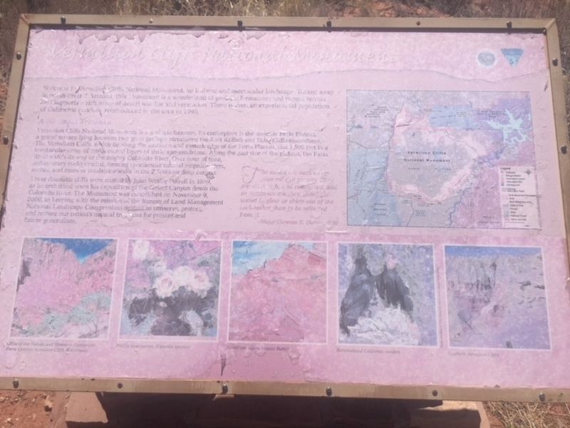
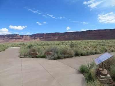
Vermilion Cliffs National Monument is a geologic treasure. Its centerpiece is the majestic Paria Plateau, a grand terrace lying between two great geologic structures, the East Kaibab and Echo Cliffs monoclines. The Vermilion Cliffs, which lie along the southern and eastern edge of the Paria Plateau, rise 1,500 feet in a spectacular array of multicolored layers of shale and sandstone. Along the east side of the plateau, the Paria River winds its way to the mighty Colorado River. Over eons of time, sedimentary rocks eroded, forming spectacular natural amphitheaters, arches, and massive sandstone walls in the 2,500-foot deep canyon.
These dramatic cliffs were named by John Wesley Powell in 1869, as he embarked upon his expedition of the Grand Canyon
this page online
The colors are such as no pigment can portray. They are deep, rich, and variegated, and so luminous are they, that light seems to glow or shine out of the rock rather than to be reflected from it.
-Major Clarence E. Dutton, 1880
Erected by Bureau of Land Management, U.S. Department of the Interior.
Topics. This historical marker and monument is listed in this topic list: Environment. A significant historical date for this entry is November 9, 2000.
Location. 36° 41.825′ N, 111° 54.542′ W. Marker is near Marble Canyon, Arizona, in Coconino County. It can be reached from U.S. 89A at milepost 557.5. Marker is just north of highway. Touch for map. Marker is in this post office area: Marble Canyon AZ 86036, United States of America. Touch for directions.

Regionally, this marker and monument is in Flagstaff & High Country, in the Navajo Nation, and in Hopi. It is also
Photographed by Annmarie Henshaw, May 23, 2018
2. Vermilion Cliffs National Monument Marker
Marker is weathered and not very legible.
Other nearby markers. within walking distance of this marker:
Another marker is no longer nearby. Dominguez y Escalante Expedition (was here, next to this marker but has been confirmed missing).
Photographed by Bill Kirchner, May 17, 2016
3. Vermilion Cliffs National Monument Marker
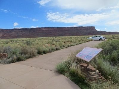
Vermilion Cliffs can be seen in background.
Photographed by Bill Kirchner, May 17, 2016
4. Vermilion Cliffs
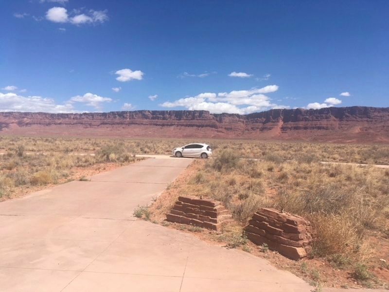
Photographed by Annmarie Henshaw, May 28, 2018
5. Vermilion Cliffs

Photographed by Randi, July 30, 2024
6. Vermilion Cliffs National Monument
Credits. This page was last revised on November 4, 2024. It was originally submitted on May 27, 2016, by Bill Kirchner of Tucson, Arizona. This page has been viewed 1,337 times since then and 58 times this year. Photos: 1. submitted on May 27, 2016, by Bill Kirchner of Tucson, Arizona. 2. submitted on May 28, 2018, by Annmarie Henshaw of Phoenix, Arizona. 3, 4. submitted on May 27, 2016, by Bill Kirchner of Tucson, Arizona. 5. submitted on May 28, 2018, by Annmarie Henshaw of Phoenix, Arizona. 6. submitted on November 2, 2024, by Randi of Seligman, Arizona.
