Monticello in San Juan County, Utah — The American Mountains (Southwest)
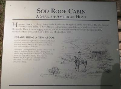
Sod Roof Cabin
A Spanish-American Home
Establishing a New Abode
Spanish-American sheepherders were recruited by local stockmen, some of whom were Land Grant families from New Mexico. Many of these people established their own homesteads in the area.
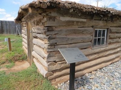
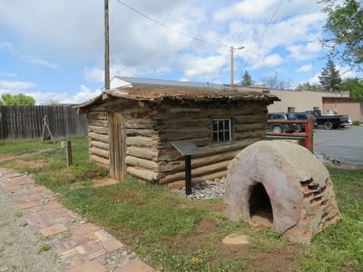
The earliest known permanent Spanish settlers were the family of Ramon Gonzalez in 1900. Other Spanish families migrated from New Mexico to the Monticello area in the early 1900s. Among them were the Manzanares, Gallegos, and Jaramillo families. This small, sod-roof cabin is typical of their dwellings.
Topics and series. This historical marker is listed in these topic lists: Hispanic Americans • Settlements & Settlers. In addition, it is included in the Old Spanish National Trail series list. A significant historical year for this entry is 1880.
Location. 37° 52.228′ N, 109° 20.617′ W. Marker is in Monticello, Utah, in San Juan County. Marker can be reached from South Main Street south of West 100 South , on the right when traveling south. Marker is in Pioneer Park. Touch for map. Marker is in this post office area: Monticello UT 84535, United States of America. Touch for directions.
Other nearby markers. At least 8 other markers are within 6 miles of this marker, measured as the crow flies. Log Cabin (a few steps from this marker); Cowboy Tack Shed (a few steps from this marker); Old Log Church (a few steps from this marker); Monticello (about 300 feet away, measured in a direct line); Hyland Hotel (about 500 feet away); Veterans Memorial (approx. 0.2 miles away); The Traveling Jail Cell (approx. 0.2 miles away); Verdure (approx. 5.8 miles away). Touch for a list and map of all markers in Monticello.
Credits. This page was last revised on June 16, 2016. It was originally submitted on June 10, 2016, by Bill Kirchner of Tucson, Arizona. This page has been viewed 466 times since then and 13 times this year. Photos: 1, 2, 3. submitted on June 10, 2016, by Bill Kirchner of Tucson, Arizona.


