Ballinger in Runnels County, Texas — The American South (West South Central)
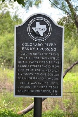
Colorado River Ferry Crossing
Used in 1880s for travel on Ballinger–San Angelo Road. Rates fixed by the county court ranged from one cent for a head of livestock to one dollar for 6 horses and a wagon.
Ferry was in use until building of first cedar and pine wood bridge, 1888.
Erected 1972 by State Historical Survey Committee. (Marker Number 976.)
Topics. This historical marker is listed in these topic lists: Roads & Vehicles • Waterways & Vessels. A significant historical year for this entry is 1880.
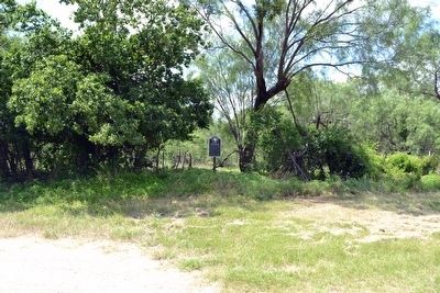
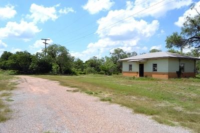
Location. 31° 43.908′ N, 99° 56.576′ W. Marker is in Ballinger, Texas, in Runnels County. Marker can be reached from S. 8th Street, 0.1 miles south of Kempner Avenue. Marker is located at the end of S. 8th Street on the right side. Touch for map. Marker is in this post office area: Ballinger TX 76821, United States of America. Touch for directions.
Other nearby markers. At least 8 other markers are within walking distance of this marker. Abilene & Southern Depot (approx. 0.3 miles away); Charles H. Noyes (approx. half a mile away); Ballinger (approx. half a mile away); Runnels County Courthouse (approx. half a mile away); Runnels County Veterans Memorial (approx. half a mile away); Company C, 142nd Infantry Regiment, 36th Division (approx. half a mile away); Runnels County (approx. half a mile away); War on Terror Memorial (approx. 0.7 miles away). Touch for a list and map of all markers in Ballinger.
More about this marker. The marker is located approximately 200 yards north of the Colorado River.
Credits. This page was last revised on November 28, 2020. It was originally submitted on June 15, 2016, by Duane Hall of Abilene, Texas. This page has been viewed 448 times since then and 37 times this year. Photos: 1, 2, 3. submitted on June 15, 2016, by Duane Hall of Abilene, Texas.


