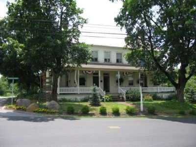
Straban Township near Gettysburg in Adams County, Pennsylvania — The American Northeast (Mid-Atlantic)
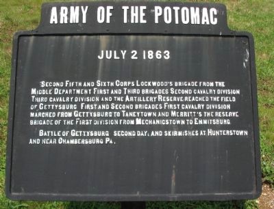
Army of the Potomac
July 2, 1863
Battle of Gettysburg second day, and skirmishes at Hunterstown and near Chambersburg, Pa.
Topics. This historical marker is listed in this topic list: War, US Civil. A significant historical date for this entry is July 2, 1863.
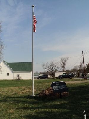
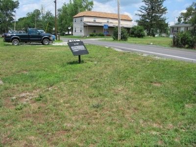
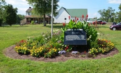
Location. 39° 52.947′ N, 77° 9.639′ W. Marker is near Gettysburg, Pennsylvania, in Adams County. It is in Straban Township. Marker is at the intersection of Red Bridge Road and Shrivers Corner Road, on the right when traveling south on Red Bridge Road. Touch for map. Marker is in this post office area: Gettysburg PA 17325, United States of America. Touch for directions.
Other nearby markers. At least 8 other markers are within walking distance of this marker. Jacob Grass Hotel (within shouting distance of this marker); Battle of Hunterstown (about 300 feet away, measured in a direct line); Pres. George Washington (about 400 feet away); Brigadier General George Armstrong Custer (about 700 feet away); Great Conewago Presbyterian Church (approx. 0.3 miles away); Civil War Soldiers in the Great Conewago Cemetery (approx. 0.3 miles away); Revolutionary Soldiers in Great Conewago Cemetery (approx. 0.3 miles away); Gettysburg Campaign (approx. ¾ mile away). Touch for a list and map of all markers in Gettysburg.
Credits. This page was last revised on February 7, 2023. It was originally submitted on July 25, 2008, by Craig Swain of Leesburg, Virginia. This page has been viewed 1,899 times since then and 12 times this year. Photos: 1. submitted on July 26, 2008, by Craig Swain of Leesburg, Virginia. 2. submitted on April 12, 2013, by Bill Coughlin of Woodland Park, New Jersey. 3. submitted on July 26, 2008, by Craig Swain of Leesburg, Virginia. 4. submitted on August 15, 2014, by Karl Stelly of Gettysburg, Pennsylvania. 5. submitted on August 28, 2008, by Craig Swain of Leesburg, Virginia.
