Near Alcova in Natrona County, Wyoming — The American West (Mountains)
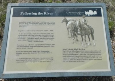
Following the River
Capt. Howard Stansbury commented August 1, 1852:
"...Frost during the night; morning clear, calm and very beautiful. The road passing occasionally through deep, heavy sand continued up the right bank of the Sweetwater. ...The valley is here nearly two miles wide, with rolling hills between the two mountain ranges, which...form its limits.
Stansbury was a federal topographical engineer who was mapping both emigrant routes and a possible right-of-way for the railroad.
Granville Stuart in his book Forty Years on the Frontier, wrote this about the Sweetwater River in 1852: "...its beautiful clear cold water having a sweetish taste, caused by alkali held in solution...not enough however, to cause any apparent injurious effects..."
Devil's Gate Mail Station
The U.S. Post Office Department contracted monthly mail delivery that passed here going between Independence, Missouri and Salt Lake City, Utah. This service normally used light-draft wagons in summer and pack fuels in winter and remained the only mail delivery through here until late 1858. Devil's Gate mail station was located one half mile south of the Gate.
Erected by U.S. Department of the Interior, Bureau of Land Management.
Topics and series. This historical marker is listed in these topic lists: Communications • Roads & Vehicles. In addition, it is included in the Oregon Trail series list. A significant historical date for this entry is August 1, 1852.
Location. 42° 26.27′ N, 107° 12.958′ W. Marker is near Alcova, Wyoming, in Natrona County. Marker is on State Highway 220 near Martin Cove Road, on the right when traveling west. Touch for map. Marker is in this post office area: Alcova WY 82620, United States of America. Touch for directions.
Other nearby markers. At least 8 other markers are within walking distance of this marker. The Emigrant Road (about 400 feet away, measured in a direct line); A Tribute to Hardship (about 400 feet away); Devil's Gate (about 500 feet away); Sun Ranch (about 600 feet away); Martin's Cove (about 600 feet away); Tom Sun Ranch (approx. 0.3 miles away); The Oregon Trail (approx. 0.3 miles away); The Pioneer Women (approx. 0.3 miles away). Touch for a list and map of all markers in Alcova.
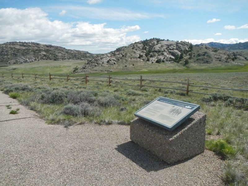
More about this marker. This marker is located at the Devil's Gate BLM Interpretive Site, approximately 7 miles southwest of Independence Rock.
Credits. This page was last revised on June 29, 2016. It was originally submitted on June 29, 2016, by Barry Swackhamer of Brentwood, California. This page has been viewed 377 times since then and 16 times this year. Photos: 1, 2. submitted on June 29, 2016, by Barry Swackhamer of Brentwood, California.

