Williamsport in Washington County, Maryland — The American Northeast (Mid-Atlantic)
The Bowie List
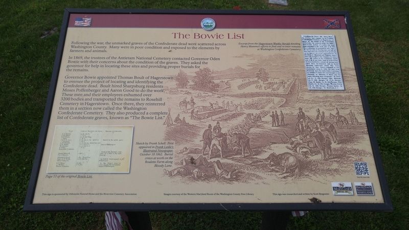
In 1869, the trustees of the Antietam National Cemetery contacted Governor Oden Bowie with their concerns about the condition of the graves. They asked the governor for help in locating these sites and providing proper burials for the remains.
Governor Bowie appointed Thomas Boult of Hagerstown to oversee the project of locating and identifying the Confederate dead. Boult hired Sharpsburg residents Moses Poffenberger and Aaron Good to do the work. These men and their employees exhumed over 3200 bodies and transported the remains to Rosehill Cemetery in Hagerstown. Once there, they reinterred them in a section now called the Washington Confederate Cemetery. They also produced a complete list of Confederate graves, known as "The Bowie List."
[text with upper right image] Excerpt from the Hagerstown Weekly Herald detailing Henry Mumma's efforts to find and re-inter remains at Washington Confederate Cemetery.
[text with lower right image] Sketch by Frank Schell. First appeared in Frank Leslie's Illustrated Newspaper, October 18 1862. Burial crews at work on the Roulette Farm along Bloody Lane.
[text with the lower left image] Page 53 of the original Bowie List.
Topics. This historical marker is listed in these topic lists: Cemeteries & Burial Sites • War, US Civil. A significant historical year for this entry is 1869.
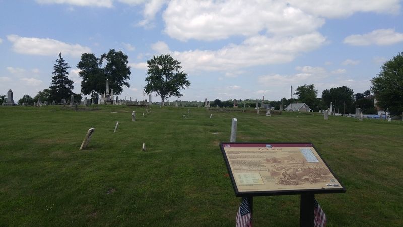
Location. 39° 35.854′ N, 77° 49.448′ W. Marker is in Williamsport, Maryland, in Washington County. Marker can be reached from the intersection of Vermont Street and Commerce Street, on the left when traveling north. Marker is about 100 feet from the intersection, along the paved road in the cemetery. Touch for map. Marker is in this post office area: Williamsport MD 21795, United States of America. Touch for directions.
Other nearby markers. At least 8 other markers are within walking distance of this marker. River View Cemetery (within shouting distance of this marker); Doubleday Hill (about 600 feet away, measured in a direct line); a different marker also named Doubleday Hill (about 600 feet away); Light's Ford and Lemen's Ferry (about 600 feet away); Abner Doubleday (about 600 feet away); The C&O Canal in the Civil War at Williamsport (approx. 0.2 miles away); Boats Passing By (approx. 0.2 miles away); The John Brown Bell (approx. 0.2 miles away). Touch for a list and map of all markers in Williamsport.
Credits. This page was last revised on June 30, 2016. It was originally submitted on June 30, 2016, by F. Robby of Baltimore, Maryland. This page has been viewed 579 times since then and 80 times this year. Photos: 1, 2. submitted on June 30, 2016, by F. Robby of Baltimore, Maryland.

