Near Vandalia in Montgomery County, Ohio — The American Midwest (Great Lakes)
The Miami Conservancy District
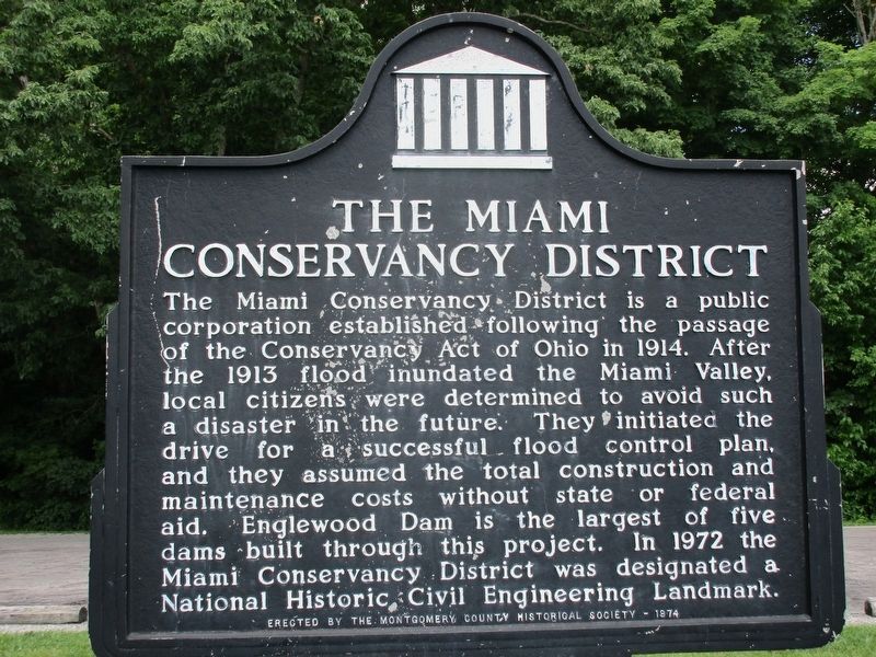
Photographed by Rev. Ronald Irick, June 28, 2016
1. The Miami Conservancy District Marker
Erected 1974 by Montgomery County Historical Society.
Topics and series. This historical marker is listed in these topic lists: Charity & Public Work • Waterways & Vessels. In addition, it is included in the ASCE Civil Engineering Landmarks series list. A significant historical year for this entry is 1914.
Location. 39° 52.536′ N, 84° 16.647′ W. Marker is near Vandalia, Ohio, in Montgomery County. It is at the intersection of W National Rd (U.S. 40) and Aullwood Road, on the left when traveling east on W National Rd. Marker is in parking lot
this page online

Regionally, this marker is in the Dayton Metro and in the Miami Valley. It is also in the American Midwest and in the Corn Belt. Globally, it is in North America, the Western Hemisphere, the Western World, and the Anglosphere. Historically, it finds itself in what was once the Haudenosaunee (Iroquois) Confederacy, the territory of the Mississippian Culture, and the Northwest Territory.
Other nearby markers. At least 8 other markers are within 2 miles of this marker, measured as the crow flies: Englewood Metropark - Metroparks Park System (here, next to this marker); Englewood Dam (within shouting distance of this marker); Englewood (approx. 0.6 miles away); a different marker also named Englewood (approx. 1.3 miles away); a different marker also named Englewood (approx. 1.3 miles away); Joe Rapp Plaza (approx. 1.3 miles away); National Road US 40 (approx. 1.6 miles away); Englewood Veterans Monument (approx. 1.6 miles away).
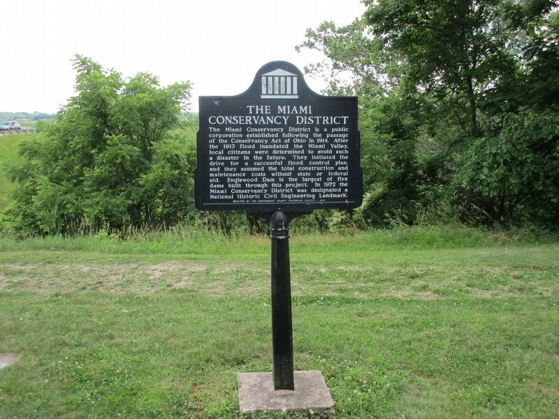
Photographed by Rev. Ronald Irick, June 28, 2016
2. The Miami Conservancy District Marker
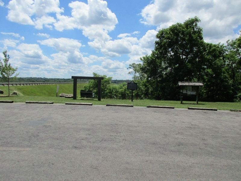
Photographed by Rev. Ronald Irick, June 28, 2016
3. The Miami Conservancy District Marker
Marker can be seen at a distance, Englewood Dam in the background
Photographed by Rev. Ronald Irick, June 28, 2016
4. The Miami Conservancy District Marker
Sign at parking lot
Credits. This page was last revised on July 4, 2016. It was originally submitted on July 1, 2016, by Rev. Ronald Irick of West Liberty, Ohio. This page has been viewed 499 times since then and 34 times this year. Photos: 1, 2, 3, 4. submitted on July 1, 2016, by Rev. Ronald Irick of West Liberty, Ohio. • Bill Pfingsten was the editor who published this page.
