Near Bessemer Bend in Natrona County, Wyoming — The American West (Mountains)
Willow Springs
Willow Springs Pony Express Station
Photographed by Barry Swackhamer, June 1, 2016
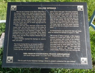
1. Willow Springs Marker
There were two main alternate routes from the Casper area, and from the junction of the routes at Iron Creek. eleven miles northeast of here, the Oregon-California Trail followed a single track to Independence Rock on the Sweetwater River. Nearly 400,000 covered wagon emigrants, the Overland Stage route, and the Pony Express followed the trail to Willow Springs.
James Shields reached the Springs on June 8, 1850 and wrote:
this page online
Sir Richard Burton was aboard the Salt Lake stage when he reached the Springs on August 17, 1860:
We nooned at Willow Springs, a little dogger boasting of a shed and a bunk, but no corral; and we soothed, with a drink of our whiskey, the excited feelings of the Rancheros. The poor fellows have been plundered of their bread and dried meat by some petty thief, who had burrowed under the wall... The water was unusually good at Willow Springs: unfortunately, however, there was nothing else.
Erected 2008 by Oregon-California Trail Association.
Topics and series. This historical marker is listed in these topic lists: Communications • Roads & Vehicles. In addition, it is included in the Oregon Trail, and the Pony Express National Historic Trail series lists.
Location. 42° 40.464′ N, 106° 47.586′ W. Marker is near Bessemer Bend, Wyoming, in Natrona County. It is on Oregon Trail Road (County Route 319), on the right when traveling south. Touch for map. Marker is in this post office area: Casper WY 82604, United States of America. Touch for directions.

Regionally, this marker
Photographed by Barry Swackhamer, June 1, 2016
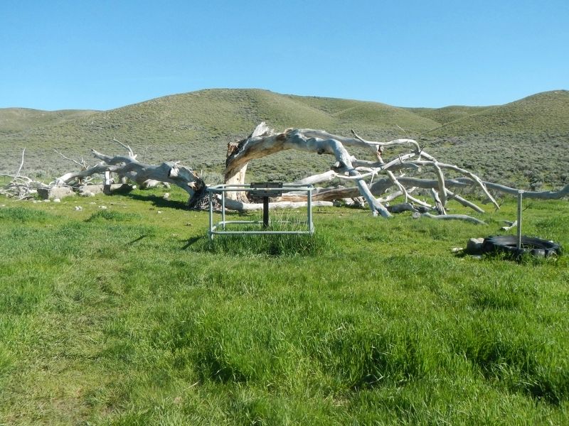
2. Willow Springs Marker
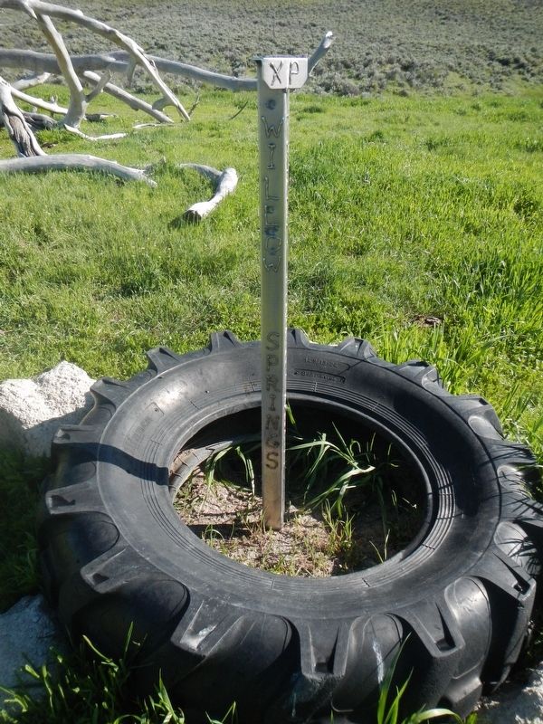
Note the Pony Express Station spike to the right.
Other nearby markers. At least 8 other markers are within 14 miles of this marker, measured as the crow flies: A Look Back (approx. 1.3 miles away); Marking Their Progress (approx. 1.3 miles away); Lure of the West (approx. 1.3 miles away); And On the Horizon... (approx. 1.3 miles away); Alcova Reservoir (approx. 8.4 miles away); Pathfinder Dam Construction (approx. 8.4 miles away); Fremont Canyon Power Plant (approx. 14 miles away); Fremont Canyon (approx. 14.1 miles away). Touch for a list and map of all markers in Bessemer Bend.
More about this marker. This marker is located at Ryan (Prospect) Hill BLM Interpretive Site. The Site is about 12 miles southwest of Casper. From the town of Mills, take Poison Spider Road to county road 319. or from Bessemer Bend take county road 308. Note that CR 308 turns right where CR 314 continues straight. Alternatively,near Alcova, take the Oregon Trail Road
Photographed by Barry Swackhamer, June 1, 2016
3. Willow Springs Station Site Pony Express Trail 1860-1861
Dedicated 2004, Sponsored by Jim Stretesky - Wayne & Linda Tasler, Pony Express Trail Association - Joe Nardone, Historian
Credits. This page was last revised on July 3, 2016. It was originally submitted on July 3, 2016, by Barry Swackhamer of Brentwood, California. This page has been viewed 1,741 times since then and 107 times this year. Photos: 1, 2, 3. submitted on July 3, 2016, by Barry Swackhamer of Brentwood, California.
