Near Bessemer Bend in Natrona County, Wyoming — The American West (Mountains)
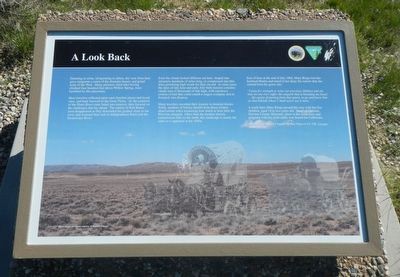
A Look Back
Here travelers reflected upon once familiar places and loved ones. and bade farewell to the Great Plains. As the comforts of the Platte River route faded into memory, they focused on the challenges that lay ahead. the outline of Red Buttes soon disappeared as they descended the gradual slope of the west, and resumed their trek to Independence Rock. and the Sweetwater River.
Even the clouds looked different out here, shaped into streamers hundreds of miles long, or compressed into thin discs promising high winds for days on end. In some years the skies of late July built massive cumulus clouds tens of thousands of feet high, with top-heavy crowns of hail that could smash a wagon company and its livestock into disarray.
Many travelers recorded their journey in detailed diaries. Today, students of history benefit from those written observations when measuring how much or how little the West has changed. Other than the modern electric transmission lines to the north, this landscape in nearly the same as it appeared in the 1940s.
East of here at the end of July 1864, Mary Ringo lost her husband and noted in her diary the sorrow that she carried from his grave site:
"I pray for strength to raise our precious children and oh, may no one ever suffer the anguish that is breaking my heart...the agony of parting from that grave, to go and leave him on that hillside where I shall never see him more..."
A week later, Mary Ringo passed this way with her five children, aged 14 to two years old. Mary, of Gallatin, Daviess County, Missouri, afoot in the wilderness and pregnant with her sixth child, was bound for California. - Excerpt from "The 1864 Journal" by Mary Ringo in Vol. VIII, Covered Wagon Women.
Erected by U.S. Department of the Interior, Bureau of Land Management.
Topics and series. This historical marker is listed in these topic lists: Roads & Vehicles • Settlements & Settlers. In addition, it is included in the Oregon Trail series list.
Location. 42° 39.633′ N, 106° 48.602′ W. Marker is near Bessemer Bend, Wyoming, in Natrona County. Marker is on Oregon Trail Road (County Route 319) near Route 308, on the right when traveling south. Touch for map. Marker is in this post office area: Casper WY 82604, United States of America. Touch for directions.
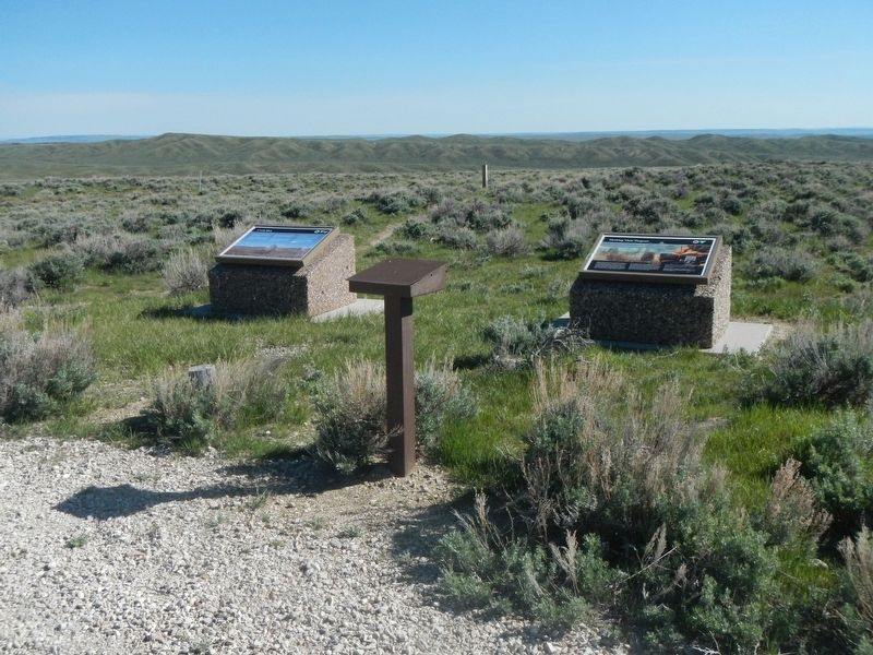
Other nearby markers. At least 8 other markers are within 14 miles of this marker, measured as the crow flies. Marking Their Progress (a few steps from this marker); Lure of the West (within shouting distance of this marker); And On the Horizon... (within shouting distance of this marker); Willow Springs (approx. 1.3 miles away); Alcova Reservoir (approx. 7˝ miles away); Pathfinder Dam Construction (approx. 8.1 miles away); Fremont Canyon Power Plant (approx. 13.1 miles away); Fremont Canyon (approx. 13.1 miles away). Touch for a list and map of all markers in Bessemer Bend.
More about this marker. This marker is located at Ryan (Prospect) Hill BLM Interpretive Site. The Site is about 13 miles southwest of Casper. From the town of Mills, take Poison Spider Road to county road 319. or from Bessemer Bend take county road 308. Note that CR 308 turns right where CR 314 continues straight. Alternatively, from Alcova, take the Oregon Trail Road (CR319) north from Wyoming Highway 220 for about 8 miles.
Credits. This page was last revised on July 3, 2016. It was originally submitted on July 3, 2016, by Barry Swackhamer of Brentwood, California. This page has been viewed 299 times since then and 7 times this year. Photos: 1, 2. submitted on July 3, 2016, by Barry Swackhamer of Brentwood, California.

