Near Soda Springs in Placer County, California — The American West (Pacific Coastal)
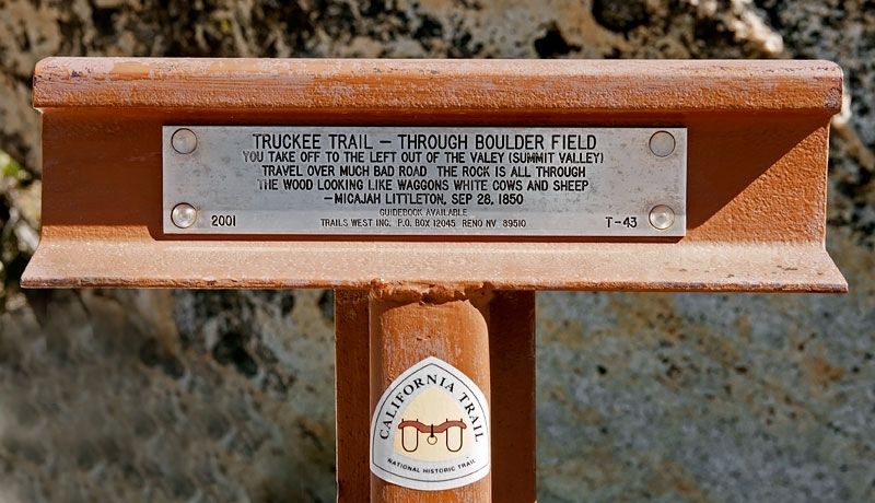
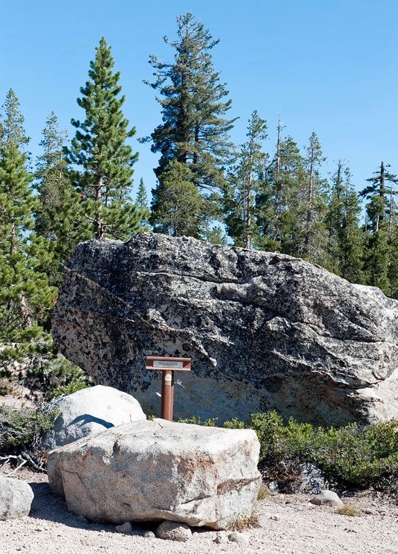
Truckee Trail - Through Boulder Field
Micajah Littleton, Sep 28, 1850
Erected 2001 by Trails West, Inc. (Marker Number T-43.)
Topics and series. This historical marker is listed in these topic lists: Roads & Vehicles • Settlements & Settlers. In addition, it is included in the California Trail, the Trails West Inc., and the Truckee Trail series lists. A significant historical date for this entry is September 28, 1850.
Location. 39° 18.674′ N, 120° 24.705′ W. Marker is near Soda Springs, California, in Placer County. Marker is on Kidd Lakes Road, 2 miles west of Soda Springs Road, on the right when traveling west. Touch for map. Marker is in this post office area: Soda Springs CA 95728, United States of America. Touch for directions.
Other nearby markers. At least 8 other markers are within 3 miles of this marker, measured as the crow flies. Donner Summit Lodge (approx. 1˝ miles away); Emigrant Wagon Route (approx. 1.6 miles away); Truckee Trail - Leaving Summit Valley (approx. 1.6 miles away); Soda Springs Store (approx. 1.8 miles away); Soda Springs Hotel (approx. 1.9 miles away); Ice Lakes (approx. 1.9 miles away); Lake Van Norden Dam (approx. 2 miles away); Summit Valley Native American Mortars (approx. 2.3 miles away). Touch for a list and map of all markers in Soda Springs.
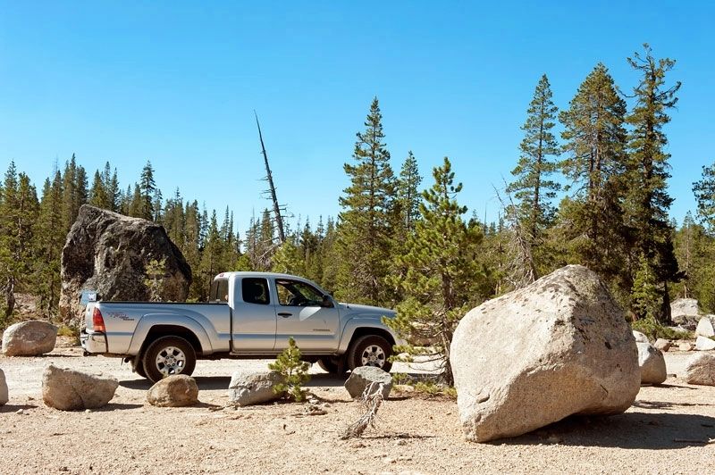
More about this marker. Kidd Lakes Road is unpaved. When we visited in September of 2014, we were driving a high clearance vehicle with four-wheel drive, but the road was dry and well graded and suitable for a low clearance vehicle.
Credits. This page was last revised on July 14, 2016. It was originally submitted on July 6, 2016, by Alvis Hendley of San Francisco, California. This page has been viewed 306 times since then and 6 times this year. Photos: 1, 2, 3, 4. submitted on July 6, 2016, by Alvis Hendley of San Francisco, California. • Syd Whittle was the editor who published this page.


