Flintstone in Allegany County, Maryland — The American Northeast (Mid-Atlantic)
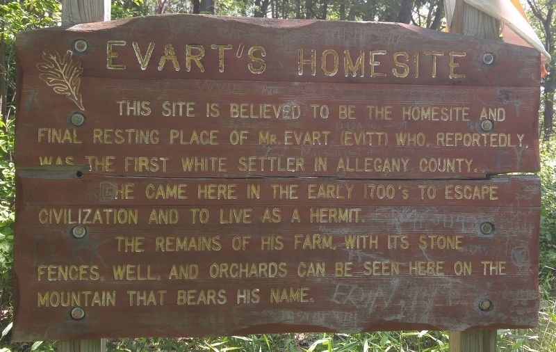
Evart's Homesite
He came here in the early 1700's to escape civilization and live as a hermit.
The remains of his farm, with its stone fences, well, and orchards can be seen here on the mountain that bears his name.
Topics. This historical marker is listed in these topic lists: Cemeteries & Burial Sites • Settlements & Settlers.
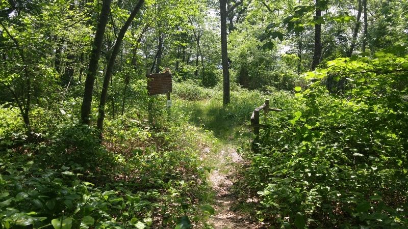
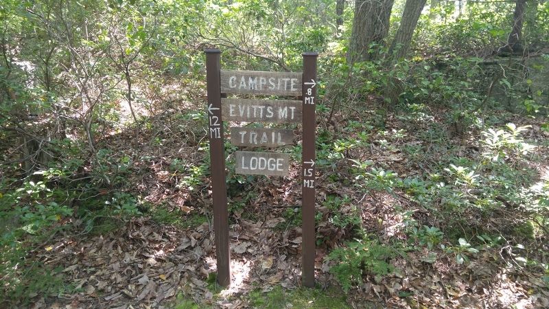
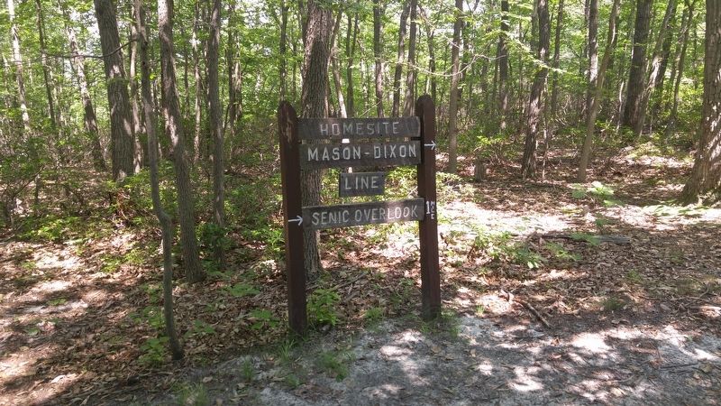
Location. 39° 42.553′ N, 78° 39.972′ W. Marker is in Flintstone, Maryland, in Allegany County. Marker can be reached from Pleasant Valley Road. Marker is within Rocky Gap State Park, about 1.5 miles up Evitts Mountain Homesite Trail from the trailhead at Rocky Trail. Touch for map. Marker is at or near this postal address: 12500 Pleasant Valley Road NE, Flintstone MD 21530, United States of America. Touch for directions.
Other nearby markers. At least 8 other markers are within 3 miles of this marker, measured as the crow flies. The Naming of the Lake (approx. 0.6 miles away); American Indian Rockshelter Trail (approx. 0.7 miles away); Life in Pleasant Valley (approx. one mile away); Martins Mountain (approx. 1.3 miles away); Union Grove School (approx. 1.7 miles away); Washington’s Road (approx. 2.3 miles away); Pennsylvania (approx. 2.6 miles away in Pennsylvania); Camp Mason & Dixon (approx. 2.9 miles away in Pennsylvania). Touch for a list and map of all markers in Flintstone.
Regarding Evart's Homesite. Mr. Evart (or Evitt) reportedly was spurned by a woman and came to this location to ponder his bachelorhood!
Additional commentary.
1. Evitt's Mountain Homesite Trail
The marker uses the name Evart, while the trail to the homesite uses the name Evitt. The trailhead can be reached from several access trails, some of which are known as the Rocky Trail, and Lakeside Loop Trail. See Rocky Gap State Park trail maps for details. Four bears crossed the trail in front of us on our return down the mountain, but they scampered away as soon as they saw us, too quickly for us to get a picture.
— Submitted July 9, 2016, by F. Robby of Baltimore, Maryland.
Credits. This page was last revised on July 9, 2016. It was originally submitted on July 9, 2016, by F. Robby of Baltimore, Maryland. This page has been viewed 638 times since then and 37 times this year. Photos: 1, 2, 3, 4. submitted on July 9, 2016, by F. Robby of Baltimore, Maryland.


