Mercersville in Washington County, Maryland — The American Northeast (Mid-Atlantic)
Mercersville

Photographed by F. Robby, June 29, 2016
1. Mercersville Marker
Topics. This historical marker is listed in these topic lists: Settlements & Settlers • Waterways & Vessels. A significant historical month for this entry is June 1828.
Location. 39° 29.944′ N, 77° 46.043′ W. Marker is in Mercersville, Maryland, in Washington County. It is on Taylors Landing Road 1.2 miles west of Sharpsburg Pike (Maryland Route 65), on the left when traveling west. Marker is along the C&O Canal Towpath. Touch for map. Marker is at or near this postal address: 17328 Taylors Landing Rd, Sharpsburg MD 21782, United States of America. Touch for directions.

Regionally, this marker is in Western Maryland. It is also in the American Mid-Atlantic, in Appalachia, and specifically in Northern
this page online
Other nearby markers. At least 8 other markers are within 2 miles of this marker, measured as the crow flies: The 7th Indiana Infantry (approx. 1.1 miles away); Union Line of Battle (approx. 1.1 miles away); First Army Corps (approx. 1.2 miles away); Doubleday's Division, First Army Corps. (approx. 1.2 miles away); a different marker also named First Army Corps (approx. 1.2 miles away); Patrick's Brigade (approx. 1.2 miles away); a different marker also named First Army Corps (approx. 1.2 miles away); a different marker also named First Army Corps (approx. 1.2 miles away).
Photographed by F. Robby, June 29, 2016
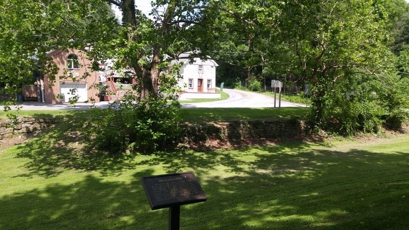
2. Mercersville Marker
Looking across the canal bed up Taylor's Landing Road.

Photographed by F. Robby, June 29, 2016
3. C&O Canal
Looking north up the C&O Canal Towpath. The small bridge here allows vehicle access to the Taylor's Landing boat ramp on the Potomac River.

Photographed by F. Robby, June 29, 2016
4. Taylor's Landing Sign
National Park Service information sign for Taylor's Landing.

Photographed by F. Robby, June 29, 2016
5. Potomac River
View north/west up the Potomac River from the Taylor's Landing boat ramp.
Credits. This page was last revised on August 13, 2022. It was originally submitted on July 9, 2016, by F. Robby of Baltimore, Maryland. This page has been viewed 1,113 times since then and 40 times this year. Photos: 1, 2, 3, 4, 5. submitted on July 9, 2016, by F. Robby of Baltimore, Maryland.
