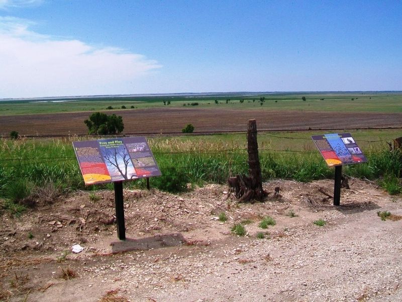
Wings Over the Water
Miracles of Migration
For thousands of years, we have marveled at bird migration. How could we not? Scientists report that a godwit tracked by satellite flew 7,145 miles without landing. But feats that amaze us are routine for birds that fly such distances every year. Consider the migratory birds that frequent our wetlands. Many breed in the arctic, then fly south as far as the tip of South America. Along the way, these birds depend on a network of wetlands for rest and refueling.
The marshes of the Texas Gulf Coast, the Great Salt Plains of Oklahoma, Quivira and Cheyenne Bottoms here in Kansas, the Rainwater Basin in Nebraska, and the Missouri Couteu region of North Dakota and Canada are interconnected by the birds that migrate between them. For waterfowl and shorebirds, these wetlands are like stepping stones across a stream. One missing stone can be ruinous.
Fat for Flight
Shorebirds often arrive at our wetlands with little fat for continuing migration. Simply put, they are out of gas. Once here, though, they may double their body weight. Shorebirds may fatten to a point where an extra ounce would prevent them from taking off!
Motion
and Change
Scientists have many high-tech ways to monitor bird migration. Much of what we now know came from researchers who worked before the days of satellites and radio transmitters. Local bird banders, like Frank Robl and Ed Martinez, labored tirelessly to net, measure, band, and release birds, illuminating the migration miracle.
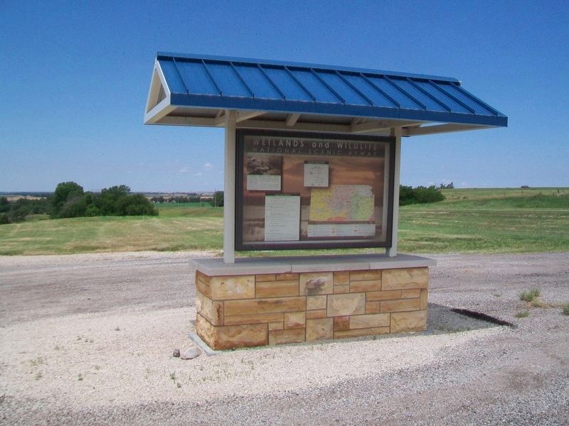
Erected by Wetlands & Wildlife National Scenic Byway, Kansas Dept of Transportation, and Federal Highway Administration.
Topics. This historical marker is listed in these topic lists: Animals • Environment.
Location. 38° 31.309′ N, 98° 37.362′ W. Marker is near Claflin, Kansas, in Barton County. Marker is on State Highway 4, 0.2 miles east of NE 80th Avenue, on the right when traveling east. Touch for map. Marker is at or near this postal address: Wetlands & Wildlife National Scenic Byway Pullout, Claflin KS 67525, United States of America. Touch for directions.
Other nearby markers. At least 8 other markers are within 13 miles of this marker, measured as the crow flies. Prey and Play (here, next to this marker); Wetlands & Wildlife National Scenic Byway (approx. 4.6 miles away); Settling the "Great American Desert" (approx. 4.6 miles away); Robert E. "Bob" Vohs Tribute (approx. 8.4 miles away); Hotel Wolf (approx. 11.8 miles away); Fort Zarah
Also see . . .
1. Cheyenne Bottoms. Wikipedia entry (Submitted on November 7, 2021, by Larry Gertner of New York, New York.)
2. Bird Watching at Cheyenne Bottoms. Kansas Wetlands Education Center website entry (Submitted on July 11, 2016, by William Fischer, Jr. of Scranton, Pennsylvania.)
3. Cheyenne Bottoms Wildlife Area Brochures. Kansas Department of Wildlife & Parks website entry (Submitted on July 11, 2016, by William Fischer, Jr. of Scranton, Pennsylvania.)
4. Convention on the Conservation of Migratory Species of Wild Animals. Website homepage (Submitted on July 11, 2016, by William Fischer, Jr. of Scranton, Pennsylvania.)
5. "Mesmerizing Migration" Map at The Cornell Lab of Ornithology. (Submitted on July 11, 2016, by William Fischer, Jr. of Scranton, Pennsylvania.)
Credits. This page was last revised on November 7, 2021. It was originally submitted on July 11, 2016, by William Fischer, Jr. of Scranton, Pennsylvania. This page has been viewed 320 times since then and 9 times this year. Photos: 1. submitted on July 11, 2016, by William Fischer, Jr. of Scranton, Pennsylvania. 2. submitted on July 10, 2016, by William Fischer, Jr. of Scranton, Pennsylvania. 3. submitted on July 11, 2016, by William Fischer, Jr. of Scranton, Pennsylvania.


