Marker Logo
THE HISTORICAL
MARKER DATABASE
“Bite-Size Bits of Local, National, and Global History”
Sweetwater Station in Fremont County, Wyoming — The American West (Mountains)
 

Sweetwater Willows

Wyoming's Wildlife
 
 
Sweetwater Willows Marker image. Click for full size.
Photographed by Barry Swackhamer, May 29, 2016
1. Sweetwater Willows Marker
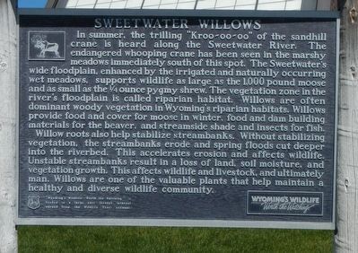
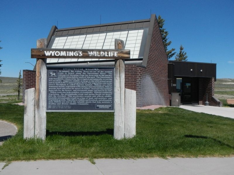
Inscription. In summer, the trilling “Kroo-oo-oo” of the sandhill crane is heard along the Sweetwater River. The endangered whooping crane has been seen in the marshy meadows immediately south of this spot. The Sweetwater’s wide floodplain, enhanced by the irrigated and naturally occurring wet meadows, supports wildlife as large as the 1,000 pound moose and as small as the Ό ounce pygmy shrew. The vegetation zone in the river’s floodplain is called riparian habitat. Willows are often dominant woody vegetation in Wyoming’s riparian habitats. Willows provide food and cover for moose in winter, food and dam building materials for the beaver, and streamside shade and insects for fish. Willow roots also help stabilize streambanks. Without stabilizing vegetation, the streambanks erode and spring floods cut deeper into the riverbed. This accelerates erosion and affects wildlife. Unstable streambanks result in a loss of land, soil moisture, and vegetation growth. This affects wildlife and livestock, and ultimately man. Willows are one of the valuable plants that help maintain a healthy and diverse wildlife community.
 
Erected by Wyoming
Paid Advertisement
Click or scan to see
this page online
State Parks and Cultural Resources.
 
Topics. This historical marker is listed in this topic list: Natural Features.
 
Location. 42° 32.662′ N, 108° 11.311′ W. Marker is in Sweetwater Station, Wyoming, in Fremont County. It is at the intersection of Wyoming 789 (U.S. 287) and Wyoming Highway 135, on the right when traveling west on Wyoming 789. Touch for map. Marker is at or near this postal address: 4189 Wyoming 789, Lander WY 82520, United States of America. Touch for directions.

Regionally, this marker is in Wind River Country. It is also in the American Mountain West. Globally, it is in North America, the Rocky Mountains, the Western Hemisphere, the Western World, and the Anglosphere.

Other nearby markers. At least 8 other markers are within 10 miles of this marker, measured as the crow flies: Oregon Trail (here, next to this marker); The Sweetwater Valley (a few steps from this marker); Sweetwater Station (a few steps from this marker); Women of Sixth Crossing (approx. 0.4 miles away); Sixth Crossing (approx. 3.1 miles away); Beaver Rim and the Wind River Range (approx.
Sweetwater Willows Marker image. Click for full size.
Photographed by Barry Swackhamer, May 29, 2016
2. Sweetwater Willows Marker
5.9 miles away); Gold Flakes to Yellowcake Historic Mine Trail (approx. 5.9 miles away); Ice Slough (approx. 9.4 miles away). Touch for a list and map of all markers in Sweetwater Station.
 
More about this marker. This marker is locate at the Sweetwater Station rest stop.
 
 
Credits. This page was last revised on July 12, 2016. It was originally submitted on July 12, 2016, by Barry Swackhamer of Brentwood, California. This page has been viewed 722 times since then and 28 times this year. Photos:   1, 2. submitted on July 12, 2016, by Barry Swackhamer of Brentwood, California.

m=95747

CeraNet Cloud Computing sponsors the Historical Marker Database.
This website earns income from purchases you make after using our links to Amazon.com. We appreciate your support.
Paid Advertisement
Jul. 22, 2026