Sweetwater Station in Fremont County, Wyoming — The American West (Mountains)
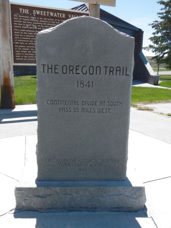
Oregon Trail
1841
Erected 1943 by Historical Landmark Commission of Wyoming.
Topics and series. This historical marker is listed in these topic lists: Roads & Vehicles • Settlements & Settlers. In addition, it is included in the Oregon Trail series list.
Location. 42° 32.659′ N, 108° 11.311′ W. Marker is in Sweetwater Station, Wyoming, in Fremont County. Marker is at the intersection of Wyoming 789 (U.S. 287) and Sand Draw Road (Wyoming Highway 135), on the right when traveling west on Wyoming 789. Touch for map. Marker is at or near this postal address: 4189 Wyoming 789, Lander WY 82520, United States of America. Touch for directions.
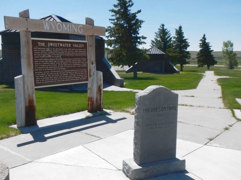
Other nearby markers. At least 8 other markers are within 10 miles of this marker, measured as the crow flies. Sweetwater Willows (here, next to this marker); The Sweetwater Valley (here, next to this marker); Sweetwater Station (a few steps from this marker); Women of Sixth Crossing (approx. 0.4 miles away); Sixth Crossing (approx. 3.1 miles away); Beaver Rim and the Wind River Range (approx. 5.9 miles away); Gold Flakes to Yellowcake Historic Mine Trail (approx. 5.9 miles away); Ice Slough (approx. 9.4 miles away). Touch for a list and map of all markers in Sweetwater Station.
More about this marker. This marker is located at the Sweetwater Station rest area.
Credits. This page was last revised on July 13, 2016. It was originally submitted on July 13, 2016, by Barry Swackhamer of Brentwood, California. This page has been viewed 499 times since then and 35 times this year. Photos: 1, 2. submitted on July 13, 2016, by Barry Swackhamer of Brentwood, California.

