Near Lander in Fremont County, Wyoming — The American West (Mountains)
The Rise of the Sinks
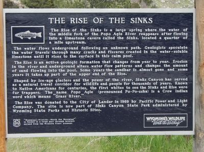
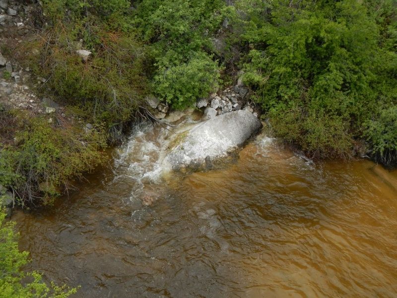
The water flows underground following an unknown path. Geologists speculate the water travels through many cracks and fissures created in the water-soluble limestone until it rises to the surface in this calm pool.
The Rise in an active geologic formation that changes from year to year. Erosion in the river and underground alters water flow patterns and changes the amount of sand flowing into the pool. Some years the sandbar is almost gone and some years it takes up part of the upper end of the Rise.
Shaped by ice-age glaciers and the power of the river. Sinks Canyon has served as a natural travel corridor for wildlife and people for thousands of years. Known to Native Americans for centuries, the first whites to see the Sinks and Rise were fur trappers. The name Popo Agie (pronounced Po-Po-zsha) is a Crow Indian word which means “Grass River.”
The Rise was donated to the City of Lander in 1969 by Pacific Power and Light Company. The site is now part of Sinks Canyon State Park administered by Wyoming State Parks and Historic Sites.
Erected by Wyoming Fish and Game Department.
Topics. This historical marker is listed in this topic list: Natural Features.
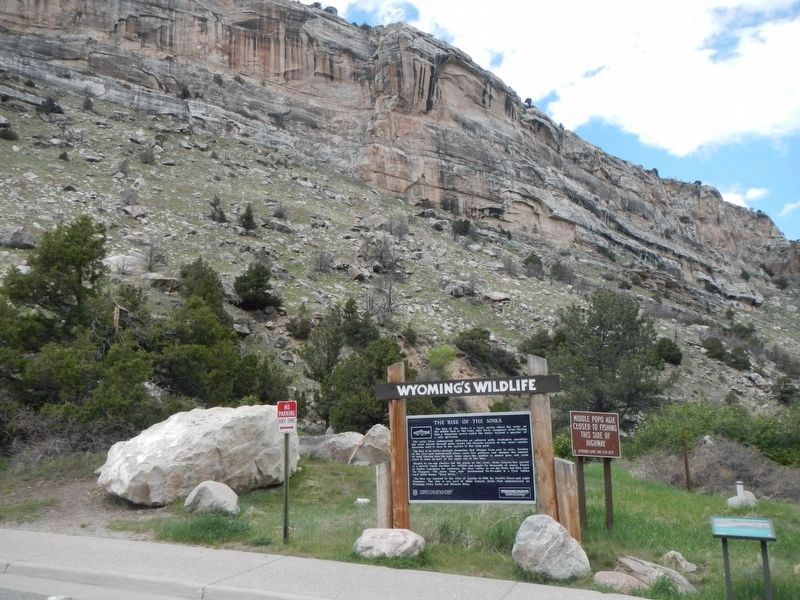
Location. 42° 45.141′ N, 108° 48.339′ W. Marker is near Lander, Wyoming, in Fremont County. Marker is on Sinks Canyon Road (State Highway 131), on the right when traveling west. Touch for map. Marker is at or near this postal address: 3113 Sinks Canyon Road, Lander WY 82520, United States of America. Touch for directions.
Other nearby markers. At least 8 other markers are within 7 miles of this marker, measured as the crow flies. Popo Agie Power (within shouting distance of this marker); Sinks Canyon - Corridor to the Winds (approx. 0.4 miles away); "The Sinks" (approx. 0.4 miles away); Sinks Canyon (approx. half a mile away); Site of Fort Augur (approx. 6.7 miles away); Noble Lane Building (approx. 6.7 miles away); Fremont Hotel (approx. 6.7 miles away); M.N Baldwin Co. (approx. 6.8 miles away). Touch for a list and map of all markers in Lander.
More about this marker. This marker is located in Sinks Canyon State Park, about 7 miles southwest of Lander.
Credits. This page was last revised on July 22, 2016. It was originally submitted on July 14, 2016, by Barry Swackhamer of Brentwood, California. This page has been viewed 454 times since then and 27 times this year. Photos: 1, 2, 3. submitted on July 14, 2016, by Barry Swackhamer of Brentwood, California.


