Wetlands & Wildlife National Scenic Byway
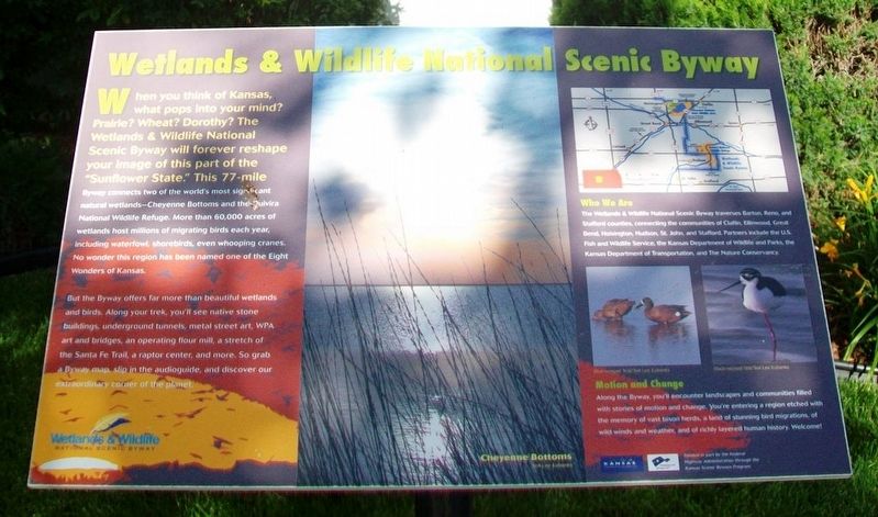
When you think of Kansas, what pops into your mind? Prairie? Wheat? Dorothy? The Wetlands & Wildlife National Scenic Byway will forever reshape your image of this part of the "Sunflower State." This 77-mile Byway connects two of the world's most significant natural wetlands—Cheyenne Bottoms and the Quivira National Wildlife Refuge. More than 60,000 acres of wetlands host millions of migrating birds each year, including waterfowl, shorebirds, even whooping cranes. No wonder this region has been named one of the Eight Wonders of Kansas.
But the Byway offers far more than beautiful wetlands and birds. Along your trek, you'll see native stone buildings, underground tunnels, metal street art, WPA art and bridges, an operating flour mill, a stretch of the Santa Fe Trail, a raptor center, and more. So grab a Byway map, slip in the audioguide, and discover our extraordinary corner of the planet.
Who We Are
The Wetlands & Wildlife National Scenic Byway traverses Barton, Reno, and Stafford counties, connecting the communities of Claflin, Ellinwood, Great Bend, Hoisington, Hudson, St. John, and Stafford. Partners include
this page online
Motion and Change
Along the Byway, you'll encounter landscapes and communities filled with stories of motion and change. You're entering a region etched with the memory of vast bison herds, a land of stunning bird migrations, of wild winds and weather, and of richly layered human history. Welcome!
Erected by Wetlands & Wildlife National Scenic Byway, Kansas Dept of Transportation, and Federal Highway Administration.
Topics. This historical marker is listed in these topic lists: Animals • Environment.
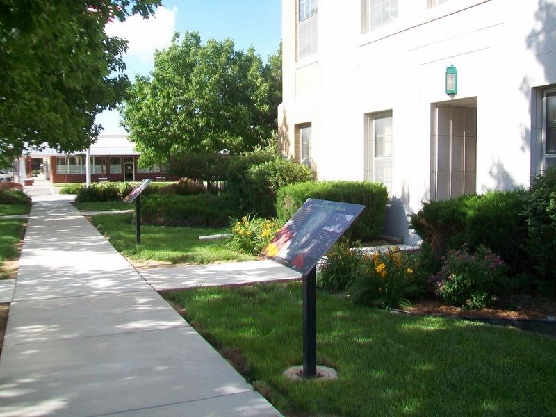
Location. 38° 0.068′ N, 98° 45.611′ W. Marker is in Saint John, Kansas, in Stafford County. It is on Broadway north of 2nd Avenue, on the right when traveling north. Marker is on the Stafford County Courthouse grounds. Touch for map. Marker is at or near this postal address: 209 North Broadway, St John KS 67576, United States of America. Touch for directions.
Regionally, this marker is in Central Kansas. It is also in the American
Other nearby markers. At least 7 other markers are within 10 miles of this marker, measured as the crow flies: Surviving the Dirty Thirties (here, next to this marker); Moseley Memorial Fountain (about 400 feet away, measured in a direct line); Replica of the Statue of Liberty (about 400 feet away); The Founding of St. John, Kansas (about 500 feet away); Cultivating America’s Bread Basket (approx. 9 miles away); Home on the Range (approx. 9.1 miles away); Farmers National Bank (approx. 9.1 miles away).
Also see . . .
1. Wetlands & Wildlife National Scenic Byway. Byway website homepage (Submitted on July 14, 2016, by William Fischer, Jr. of Reynoldsburg, Ohio.)
2. Kansas Wetlands Education Center. Center website homepage (Submitted on July 14, 2016, by William Fischer, Jr. of Reynoldsburg, Ohio.)
3. Wetlands and Wildlife Scenic Byway. My Scenic Drives website entry (Submitted on February 3, 2022, by Larry Gertner of New York, New York.)
4. Stafford County, Kansas. Official Website homepage (Submitted on July 14, 2016, by William Fischer, Jr. of Reynoldsburg, Ohio.)
Credits. This page was last revised on July 14, 2022. It was originally submitted on July 14, 2016, by William Fischer, Jr. of Reynoldsburg, Ohio. This page has been viewed 342 times since then and 19 times this year. Photos: 1, 2. submitted on July 14, 2016, by William Fischer, Jr. of Reynoldsburg, Ohio.
