Howells in Orange County, New York — The American Northeast (Mid-Atlantic)
Mapes Cemetery
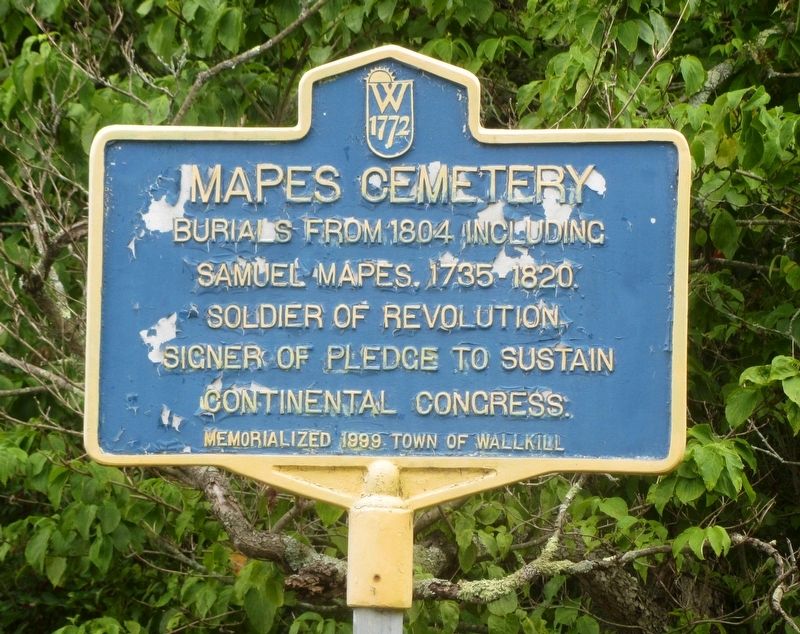
Photographed by Clifton Patrick, July 10, 2016
1. Mapes Cemetery Marker
Erected 1999 by Town of Wallkill.
Topics. This historical marker is listed in these topic lists: Cemeteries & Burial Sites • Patriots & Patriotism • War, US Revolutionary. A significant historical year for this entry is 1804.
Location. 41° 28.506′ N, 74° 28.005′ W. Marker is in Howells, New York, in Orange County. It is at the intersection of Rte 211 W (New York State Route 829) and Boorman Rd, on the left on Rte 211 W. Touch for map. Marker is in this post office area: Howells NY 10932, United States of America. Touch for directions.

Regionally, this marker is in Upstate New York and in the Hudson Valley. It is also in the American Northeast, in the Mid-Atlantic, and on the Eastern Seaboard. Globally, it is in the North Atlantic Region, North America, the Western Hemisphere, the Western World, and the Anglosphere. Historically, it finds itself in what was once New Netherland and also one of the original Thirteen Colonies.
Other nearby markers. At least 8 other markers
this page online
Regarding Mapes Cemetery. The cemetery, itself, was too overgrown to photograph.
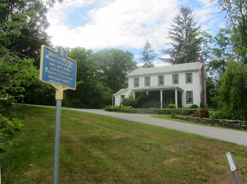
Photographed by Clifton Patrick, July 10, 2016
2. Mapes Cemetery Marker
Mapes Cemetery Marker sits below house built 1850 at 829 Rte 211 W, Middletown, NY 10940.
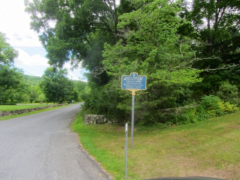
Photographed by Clifton Patrick, July 10, 2016
3. Mapes Cemetery Marker
Looking down Boorman Rd.
Credits. This page was last revised on August 5, 2022. It was originally submitted on July 16, 2016, by Clifton Patrick of Chester, NY, United States. This page has been viewed 955 times since then and 153 times this year. Photos: 1, 2, 3. submitted on July 16, 2016, by Clifton Patrick of Chester, NY, United States. • Bill Pfingsten was the editor who published this page.
