Bedford in Bedford County, Virginia — The American South (Mid-Atlantic)
Apple Orchard Mtn.
Photographed by Bill Coughlin, July 15, 2016
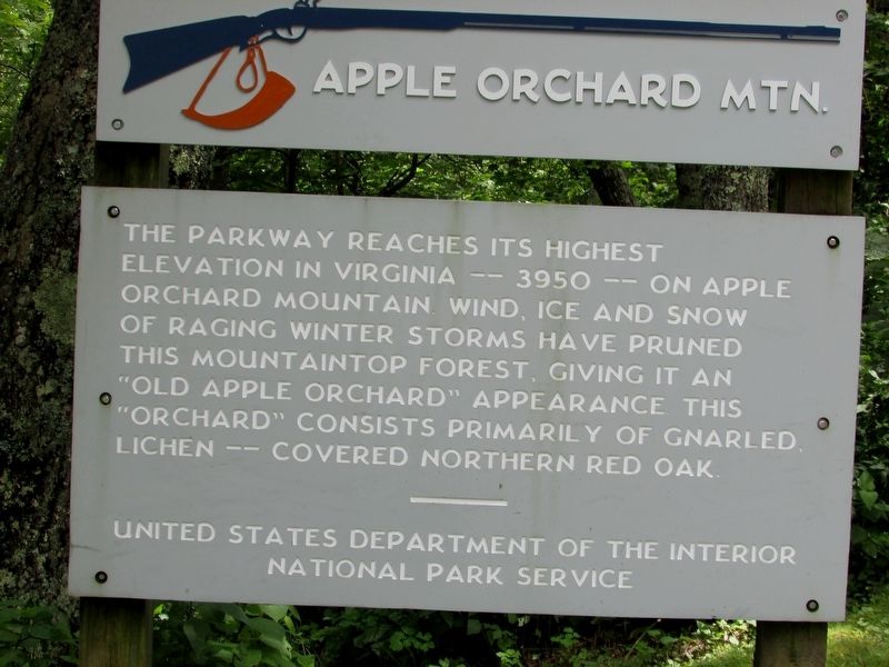
1. Apple Orchard Mountain Marker
The parkway reaches its highest elevation in Virginia - - 3950 - - on Apple Orchard Mountain. Wind, ice and snow of raging winter storms have pruned this mountaintop forest, giving it an “Old Apple Orchard” appearance. This “orchard” consists primarily of gnarled lichen - - covered Northern Red Oak.
United States Department of the Interior
National Park Service
Erected by National Park Service.
Topics and series. This historical marker is listed in these topic lists: Horticulture & Forestry • Natural Features. In addition, it is included in the Blue Ridge Parkway series list.
Location. 37° 31.288′ N, 79° 30.24′ W. Marker is in Bedford, Virginia, in Bedford County. It is on Blue Ridge Parkway (at milepost 76.5), on the left when traveling south. Marker is located at the Apple Orchard Mountain overlook Blue Ridge Parkway (MP 76.5). Touch for map. Marker is in this post office area: Bedford VA 24523, United States of America. Touch for directions.

Regionally, this marker is in Southwest Virginia. It is also in the American
this page online
Other nearby markers. At least 8 other markers are within 8 miles of this marker, measured as the crow flies: The Johnson Farmhouse (approx. 7.2 miles away); Amherst County / Rockbridge County (approx. 7.2 miles away); Johnson Farm Apple House (approx. 7.2 miles away); Johnson Farm (approx. 7.2 miles away); The Big Spring (approx. 7½ miles away); The Hotel Mons (approx. 7½ miles away); Polly Woods' Ordinary (approx. 7½ miles away); Abbott Lake (approx. 7½ miles away). Touch for a list and map of all markers in Bedford.
Another marker is no longer nearby. The Courage of Frank Padget (was approx. 7.2 miles away but has been permanently removed).
Also see . . . Iconic Mountains: Apple Orchard Mountain in Virginia's Blue Ridge. (Submitted on August 4, 2025, by Craig Swain of Leesburg, Virginia.)
Additional commentary.
1.
Photographed by Bill Coughlin, July 15, 2016
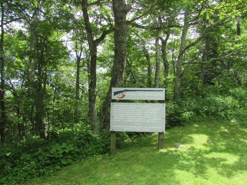
2. Apple Orchard Mountain Marker
At 4,226 feet (1288 meters), Apple Orchard Mountain is rated as the seventh highest summit in Virginia. However, if one goes by measure of topographical prominence (measure of how high the summit rises above its surroundings), Apple Orchard Mountain is the tallest in the state.
— Submitted August 4, 2025, by Craig Swain of Leesburg, Virginia.
Photographed by Craig Swain, June 22, 2025
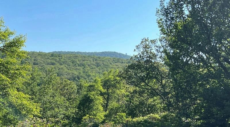
3. Apple Orchard Mountain
Seen from nearby Black Rock Hill Overlook (on the Blue Ridge Parkway) Apple Orchard Mountain is crowned by a radar station with a prominent ball shaped dome. Although the dome appears to be below the mountain crest, this is an optical trick caused by a shoulder of the mountain being closer to the camera. The dome is actually on the highest part of the mountain.
Photographed by Craig Swain, August 3, 2025
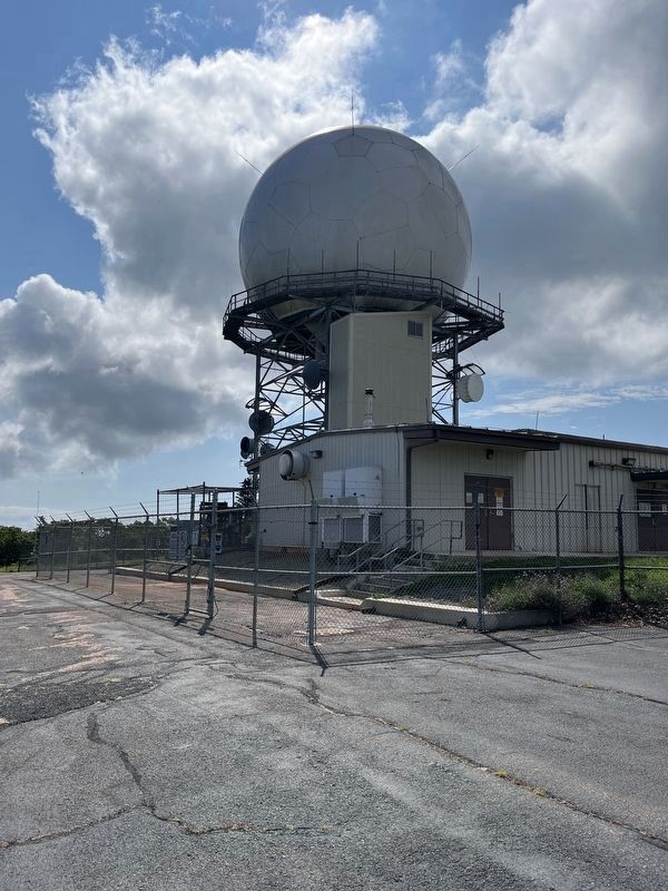
4. Top of Apple Orchard Mountain
The Appalachian Trail crosses the top of Apple Orchard Mountain beside the FAA radar tower. The actual highest point is about 25 feet to the south (behind this camera angle) as the trail reaches the crest.
Credits. This page was last revised on August 4, 2025. It was originally submitted on July 18, 2016, by Bill Coughlin of Woodland Park, New Jersey. This page has been viewed 700 times since then and 68 times this year. Photos: 1, 2. submitted on July 18, 2016, by Bill Coughlin of Woodland Park, New Jersey. 3, 4. submitted on August 4, 2025, by Craig Swain of Leesburg, Virginia.
