Farmington in Hartford County, Connecticut — The American Northeast (New England)
Farmington and the Freedom Trail
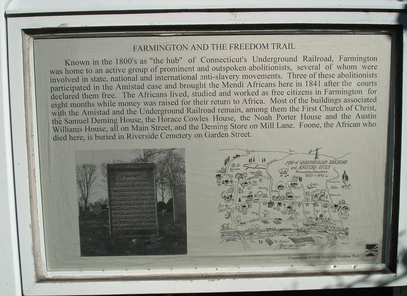
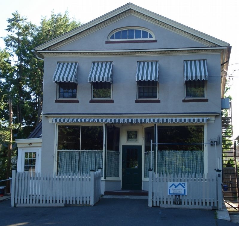
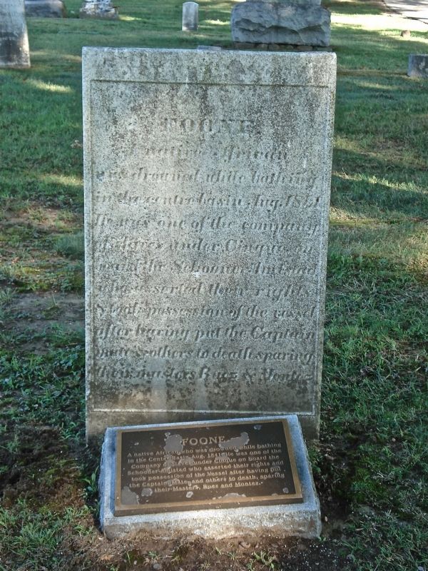
Known in the 1800’s as “the hub” of Connecticut’s Underground Railroad, Farmington was home to an active group of prominent and outspoken abolitionists, several of whom were involved in state, national and international anti-slavery movements. Three of these abolitionists participated in the Amistad case and brought the Mendi Africans here in 1841 after the courts declared them free. The Africans lived, studied and worked as free citizens in Farmington for eight months while money was raised for their return to Africa. Most of the buildings associated with the Amistad and the Underground Railroad remain, among them the First Church of Christ, the Samuel Deming House, the Horace Cowles House, the Noah Porter House, and the Austin Williams House, all on Main Street, and the Deming Store on Mill Lane. Foone, the African who died here, is buried in Riverside Cemetery on Garden Street.
Erected by Connecticut African American Freedom Trail.
Topics. This historical marker is listed in these topic lists: Abolition & Underground RR • African Americans • Cemeteries & Burial Sites. A significant historical year for this entry is 1841.
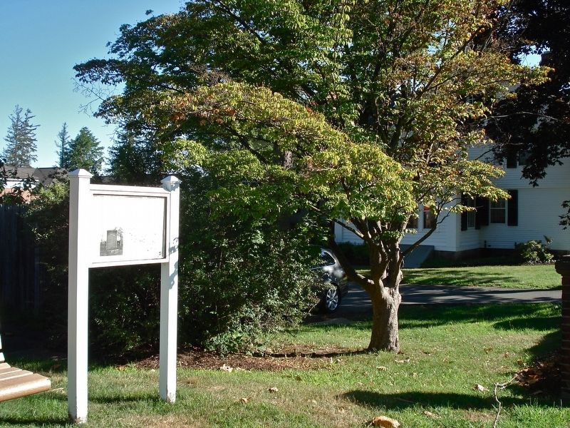
Location. 41° 43.283′ N, 72° 49.8′ W. Marker is in Farmington, Connecticut, in Hartford County. Marker is at the intersection of Main Street (Connecticut Route 10) and School Street, on the right when traveling south on Main Street. Touch for map. Marker is at or near this postal address: 66 Main Street, Farmington CT 06032, United States of America. Touch for directions.
Other nearby markers. At least 8 other markers are within 3 miles of this marker, measured as the crow flies. Farmington (about 700 feet away, measured in a direct line); "American Board" (approx. ¼ mile away); American Board of Commissioners For Foreign Missions (approx. ¼ mile away); Rochambeau Route 1781-82 (approx. 0.4 miles away); Lest We Forget (approx. 0.4 miles away); a different marker also named Farmington (approx. 1.3 miles away); Lt. Vincent H. Core Memorial Site (approx. 2.2 miles away); The Farmington Canal (approx. 2.4 miles away). Touch for a list and map of all markers in Farmington.
Also see . . .
1. Freedom Trail in Connecticut map. (Submitted on July 20, 2016, by Alan M. Perrie of Unionville, Connecticut.)
2. Cinque. (Submitted on July 20, 2016, by Alan M. Perrie of Unionville, Connecticut.)
Photographed By Alan M. Perrie, July 19, 2016
3. Foone’s burial site at Riverside Cemetery
A native African who drowned while bathing in the Center Basin Aug, 1841. He was one of the Company of Slaves under Cinque on board the Schooner Amistad who asserted their rights and took possession of the Vessel after having put the Captain, Mate, and others to death, sparing their Masters, Ruez and Montez.
Credits. This page was last revised on November 9, 2020. It was originally submitted on July 20, 2016, by Alan M. Perrie of Unionville, Connecticut. This page has been viewed 1,080 times since then and 68 times this year. Photos: 1, 2, 3, 4, 5. submitted on July 20, 2016, by Alan M. Perrie of Unionville, Connecticut. • Bill Pfingsten was the editor who published this page.
