
Bladensburg in Prince George's County, Maryland — The American Northeast (Mid-Atlantic)
British Stopover
Star Spangled Banner National Historic Trail
| — | National Park Service, U.S. Department of the Interior | — |
Photographed by Don Morfe, July 16, 2016
1. British Stopover Marker
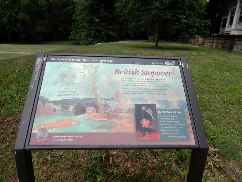
British officers stopped at Bostwick House on August 24, 1814, then home of prisoner of war agent Col. Thomas Barclay. From Lowndes Hill, behind the house, British commander Robert Ross observed the American defensive lines.
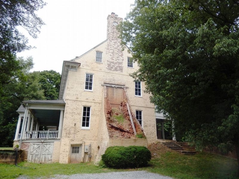
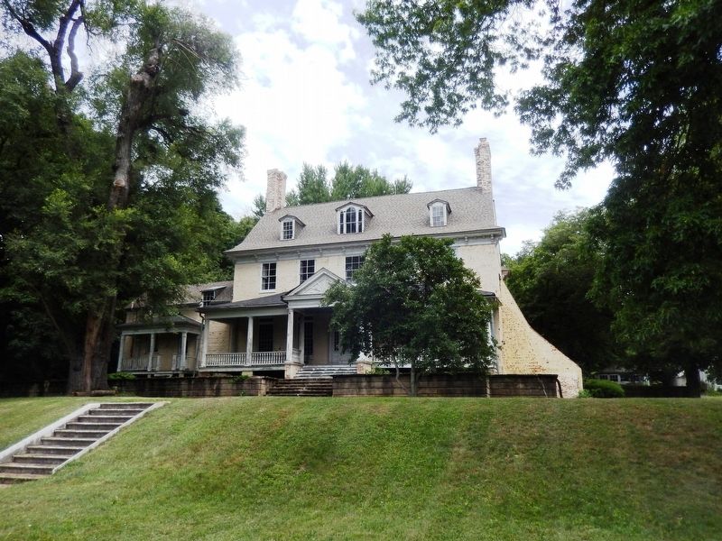
Bostwick House was built in 1746 for Christopher Lowndes, a local shipyard owner. It was later the home to his son-in-law Benjamin Stoddert, American’s first Secretary of the Navy.
In Friendly Hands
“The agent for British Prisoners of War very fortunately residing at Bladensburg I recommended the wounded Officers and Men to his particular attention and trust…”
British Maj. Gen. Robert Ross, August 30, 1814.
[Caption:]
This 1806 watercolor suggests how Bladensburg appeared when British troops arrived in 1814. The wooden bridge shown below was the first point of British attack.
Erected by National Park Service, U.S. Department of the Interior.
Topics and series. This historical marker is listed in these topic lists: Colonial Era • War of 1812. In addition, it is included in the Star-Spangled Banner National Historic Trail series list.
Location. 38° 56.254′ N,
this page online

Regionally, this marker is in the Washington Metropolitan Area. It is also in the American South, specifically in the Upper South, in the Mid-Atlantic, and on the Eastern Seaboard. Globally, it is in the North Atlantic Region, North America, the Western Hemisphere, the Western World, and the Anglosphere. Historically, it finds itself in what was once one of the original Thirteen Colonies and also the Antebellum South.
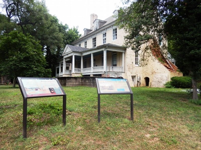
Other nearby markers. At least 8 other markers are within walking distance of this marker: A Workplace of Many Generations (here, next to this marker); Preserving the Past (a few steps from this marker); An Evolving Landscape (within shouting distance of this marker); Bostwick (within shouting distance of this marker); Lowndes' Urban Plantation (within shouting distance of this marker); a different marker also named Bostwick (about 300 feet away,
Photographed by Don Morfe, July 16, 2016
2. British Stopover Marker
This marker is the one on the left.
Photographed by Don Morfe, July 16, 2016
3. Bostwick House-side view
Photographed by Don Morfe, July 16, 2016
4. Bostwick House-front view
Credits. This page was last revised on March 19, 2026. It was originally submitted on July 20, 2016, by Don Morfe of Baltimore, Maryland. This page has been viewed 475 times since then and 27 times this year. Photos: 1, 2, 3, 4. submitted on July 20, 2016, by Don Morfe of Baltimore, Maryland. • Bill Pfingsten was the editor who published this page.
