New Lebanon in Montgomery County, Ohio — The American Midwest (Great Lakes)
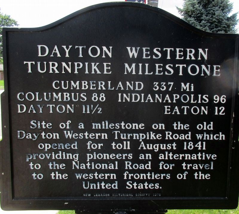
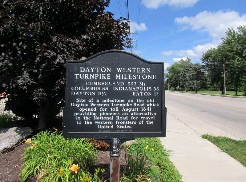
Dayton Western Turnpike Milestone
The Dayton Cut-Off from the Old National Road
Columbus 88 Indianapolis 96
Dayton 11 ½ Eaton 12
Site of a milestone on the old Dayton Western Turnpike Road which opened for toll August 1841 providing pioneers an alternative to the National Road for travel to the western frontiers of the United States.
Erected 1978 by New Lebanon Historical Society.
Topics. This historical marker is listed in these topic lists: Roads & Vehicles • Settlements & Settlers. A significant historical year for this entry is 1841.
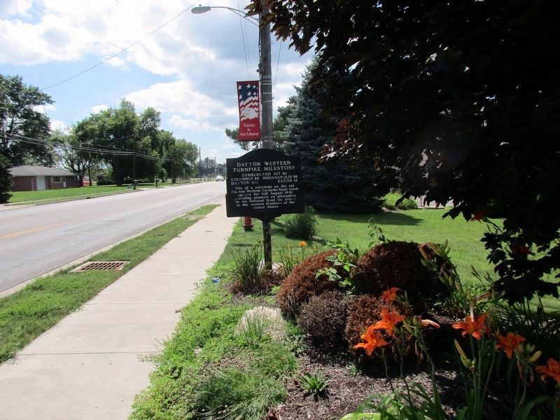
Location. 39° 44.734′ N, 84° 24.196′ W. Marker is in New Lebanon, Ohio, in Montgomery County. Marker is on Dayton Eaton Pike (U.S. 35), on the right when traveling west. Touch for map. Marker is at or near this postal address: 885 West Main Street, New Lebanon OH 45345, United States of America. Touch for directions.
Other nearby markers. At least 8 other markers are within 7 miles of this marker, measured as the crow flies. Charles F. Shimp (approx. ¼ mile away); Slifers Presbyterian Church (approx. 3.2 miles away); Farmersville Fire Department Memorial (approx. 4½ miles away); Farmersville War Memorial (approx. 5.3 miles away); Winter Zellar (Zero) Swartsel (approx. 5.3 miles away); "Battlefield Cross" (approx. 7 miles away); Joseph Justin Heltsley (approx. 7 miles away); Thomas Franklin Herkins (approx. 7 miles away).
Additional keywords. National Road
Credits. This page was last revised on July 21, 2016. It was originally submitted on July 20, 2016, by Rev. Ronald Irick of West Liberty, Ohio. This page has been viewed 437 times since then and 21 times this year. Photos: 1, 2, 3, 4. submitted on July 20, 2016, by Rev. Ronald Irick of West Liberty, Ohio. • Bill Pfingsten was the editor who published this page.


