
Bladensburg in Prince George's County, Maryland — The American Northeast (Mid-Atlantic)
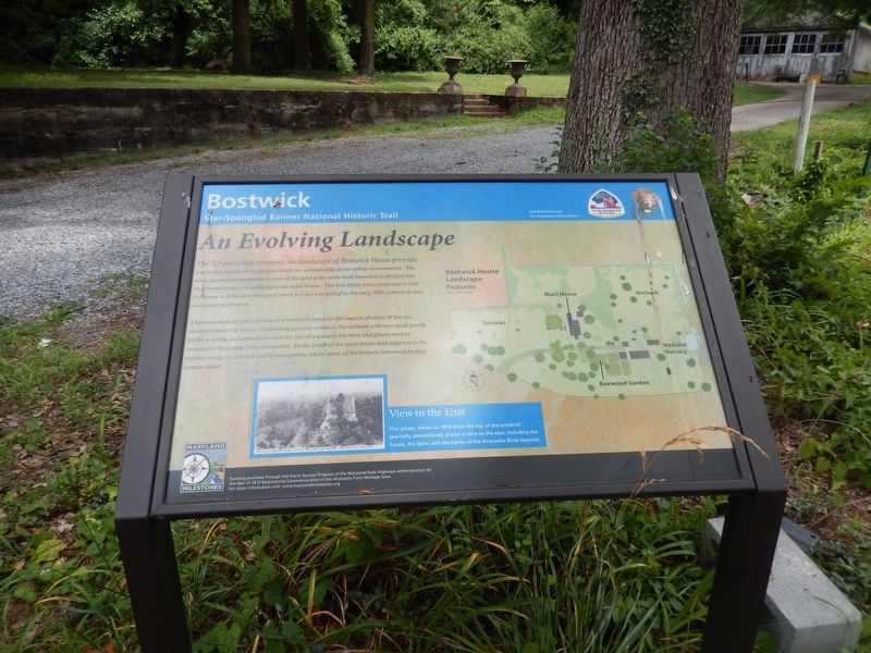
An Evolving Landscape
Bostwick
| — | Star Spangled Banner National Historic Trail | — |
Photographed by Don Morfe, July 16, 2016
1. An Evolving Landscape Marker
A historic orchard and remains of a windmill stand on the eastern portion of the site, elevated above the house. Undulating ground connects the orchard with small ponds fed by a spring, and a meadow, now the site of a nursery for trees and plants ued to restore the Anacostia River ecosystem. To the south of the main house and adjacent to the chicken coop, is a kitchen and house garden, where some of the historic boxwood hedges remain intact.
(Inscription beside the photo on the left)
View to the East-This photo, taken ca. 1910 from the top of the windmill (partially demolished), shows a view to the east, including the house, the barn, and the banks of the Anacostia River beyond.
Erected by National
this page online
Topics and series. This historical marker is listed in these topic lists: Agriculture • Colonial Era • Settlements & Settlers. In addition, it is included in the Star-Spangled Banner National Historic Trail, and the Windmills series lists. A significant historical year for this entry is 1746.
Location. 38° 56.249′ N, 76° 56.068′ W. Marker is in Bladensburg, Maryland, in Prince George's County. It is on 48th Street. Touch for map. Marker is at or near this postal address: 3901 48th Street, Bladensburg MD 20710, United States of America. Touch for directions.

Regionally, this marker is in the Washington Metropolitan Area. It is also in the American South, specifically in the Upper South, and in the Mid-Atlantic. Globally, it is in the North Atlantic Region, North America, the Western Hemisphere, the Western World, and the Anglosphere. Historically, it finds itself in what was once one of the original Thirteen Colonies and also the Antebellum South.
Other nearby markers. At least 8 other markers are within walking distance of this marker: Preserving the Past (a few
Photographed by Don Morfe, July 16, 2016
2. An Evolving Landscape Marker
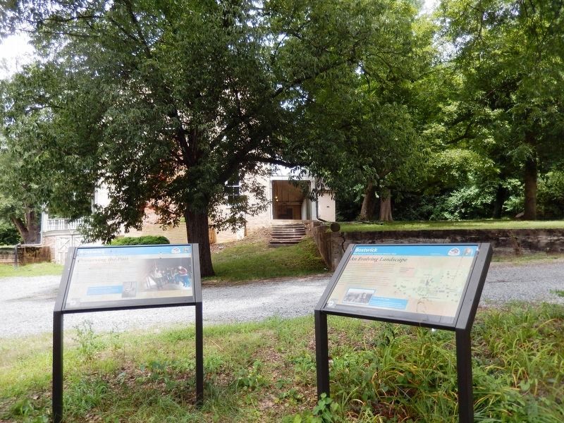
This marker is the one on the right.
Photographed by Don Morfe, July 16, 2016
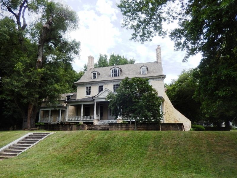
3. Bostwick-Front terrace
Photographed by Don Morfe, July 16, 2016
4. Bostwick
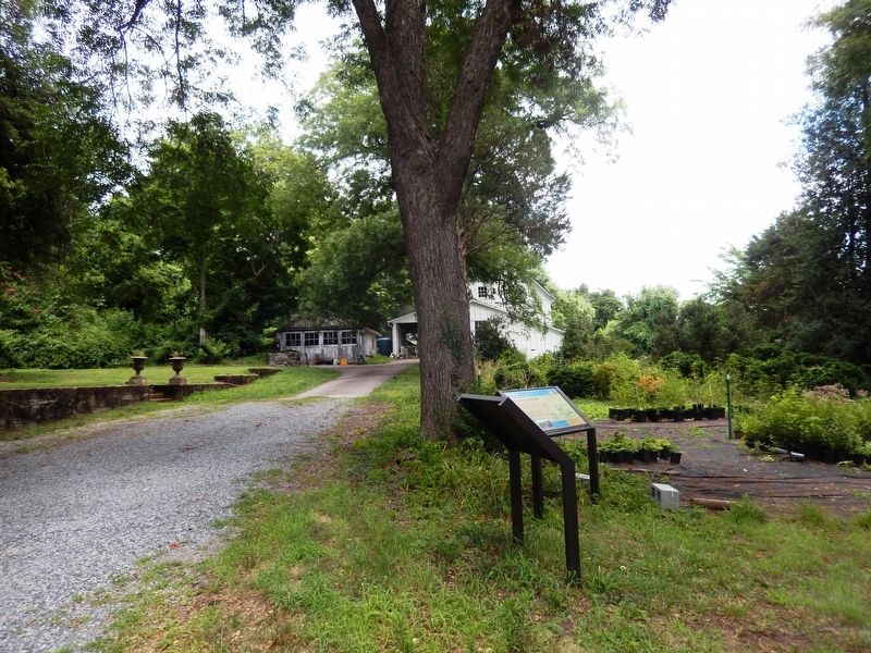
The gardens and out buildings.
Credits. This page was last revised on June 12, 2020. It was originally submitted on July 21, 2016, by Don Morfe of Baltimore, Maryland. This page has been viewed 497 times since then and 12 times this year. Photos: 1, 2, 3, 4. submitted on July 21, 2016, by Don Morfe of Baltimore, Maryland. • Bill Pfingsten was the editor who published this page.
