Central City in New Orleans in Orleans Parish, Louisiana — The American South (West South Central)
Van Benthuysen-Elms Mansion
(Attributed to Lewis E. Reynolds, Architect)
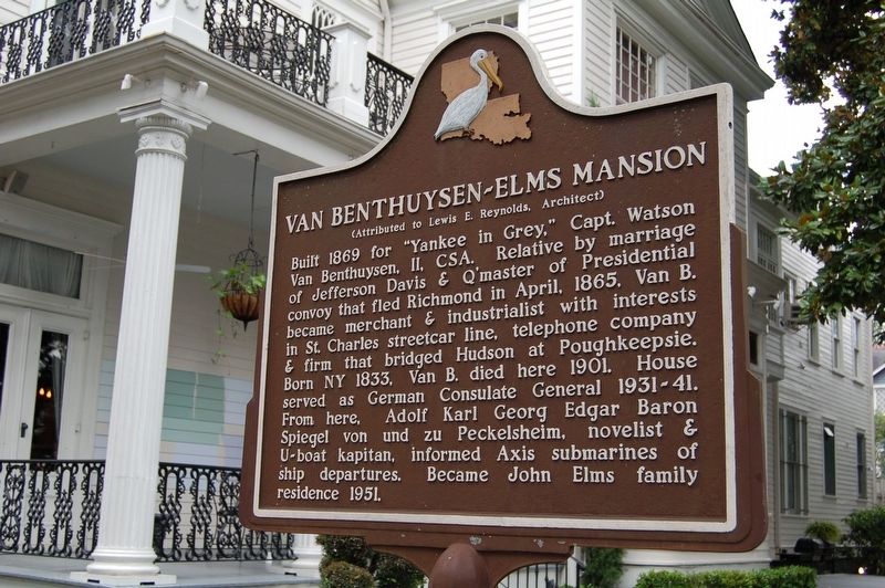
Photographed by Cajun Scrambler, July 7, 2016
1. Van Benthuysen - Elms Mansion Marker
Topics. This historical marker is listed in these topic lists: War, US Civil • War, World II.
Location. 29° 55.777′ N, 90° 5.325′ W. Marker is in New Orleans, Louisiana, in Orleans Parish. It is in Central City. It is on St Charles Avenue east of Eighth Street, on the right when traveling west. Touch for map. Marker is at or near this postal address: 3029 St Charles Ave, New Orleans LA 70115, United States of America. Touch for directions.

Regionally, this marker is
this page online
Other nearby markers. At least 8 other markers are within walking distance of this marker: Christ Church Cathedral (about 400 feet away, measured in a direct line); Abraham Kahn House (about 500 feet away); Mayor Isaac W. Patton House (approx. 0.2 miles away); Randolph Wing House (approx. 0.2 miles away); Garden District (approx. ¼ mile away); Lafayette Cemetery No. 1 (approx. ¼ mile away); Andrew McShane House (approx. ¼ mile away); Maisonette Creole (approx. ¼ mile away). Touch for a list and map of all markers in New Orleans.
Also see . . . The Van Benthuysen Elms Mansion & Gardens. (Submitted on July 26, 2016.)
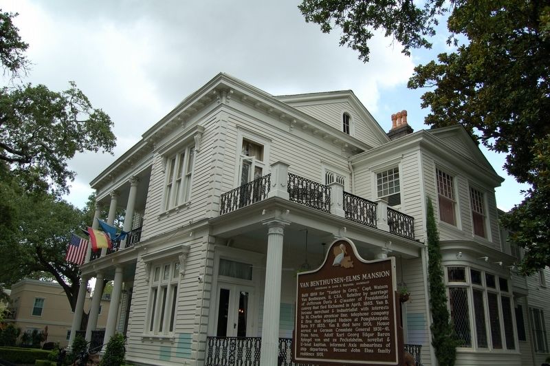
Photographed by Cajun Scrambler, July 7, 2016
2. Van Benthuysen - Elms Mansion Marker
Credits. This page was last revised on September 8, 2023. It was originally submitted on July 21, 2016. This page has been viewed 1,852 times since then and 125 times this year. Photos: 1, 2. submitted on July 21, 2016. • Bernard Fisher was the editor who published this page.
