Near Charles City in Charles City County, Virginia — The American South (Mid-Atlantic)
Shirley
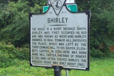
Photographed by Kathy Walker, August 11, 2007
1. Shirley Marker
Erected 1928 by Conservation and Development Commission. (Marker Number V-6.)
Topics and series. This historical marker is listed in these topic lists: Colonial Era • Settlements & Settlers. In addition, it is included in the Virginia Department of Historic Resources (DHR) series list. A significant historical year for this entry is 1613.
Location. 37° 20.986′ N, 77° 13.832′ W. Marker is near Charles City, Virginia, in Charles City County. It is at the intersection of John Tyler Memorial Highway (Virginia Route 5) and Shirley Plantation Road ( Route 608), on the right when traveling west on John Tyler Memorial Highway. Touch for map. Marker is in this post office area: Charles City VA 23030, United States of America. Touch for directions.

Regionally, this marker
this page online
Other nearby markers. At least 8 other markers are within 3 miles of this marker, measured as the crow flies: Stephen Bates (within shouting distance of this marker); Benjamin Harrison (approx. 0.8 miles away); A Great Escape (approx. 1.2 miles away); Battles on the James (approx. 1.4 miles away); Wayside & Granville (approx. 1.9 miles away); Bermuda Hundred Landing (approx. 2.3 miles away); Bermuda Hundred (approx. 2.3 miles away); a different marker also named Bermuda Hundred (approx. 2.3 miles away). Touch for a list and map of all markers in Charles City.
Other markers no longer nearby. Scene of Jefferson’s Wedding (was approx. 1.9 miles away but has been
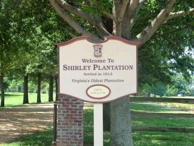
Photographed by Don Morfe, June 23, 2012
2. Shirley Marker
Also see . . . Shirley Plantation. (PDF) National Survey of Historic Sites and Buildings. (Submitted on October 14, 2020, by Allen C. Browne of Silver Spring, Maryland.)
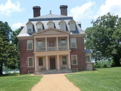
Photographed by Don Morfe, June 23, 2012
3. Shirley Main House
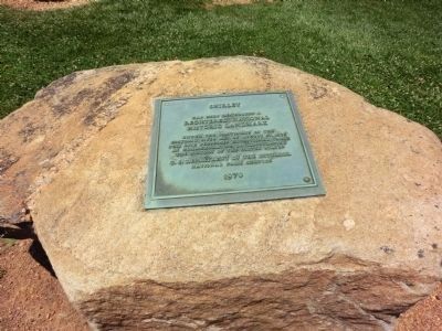
Photographed by Don Morfe, June 23, 2012
4. Registered National Historic Landmark
Photographed by Don Morfe, June 23, 2012
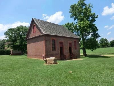
5. Shirley Ice House
Photographed by Don Morfe, June 23, 2012
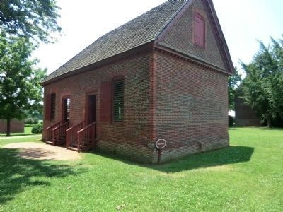
6. Shirley Store House
Photographed by Don Morfe, June 23, 2012
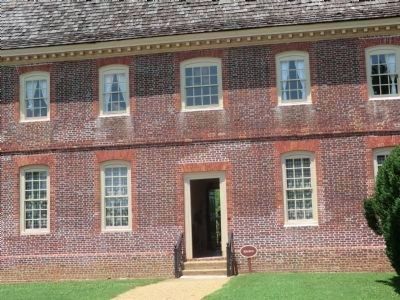
7. Shirley Kitchen
Photographed by Don Morfe, June 23, 2012
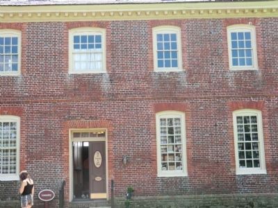
8. Shirley Laundry
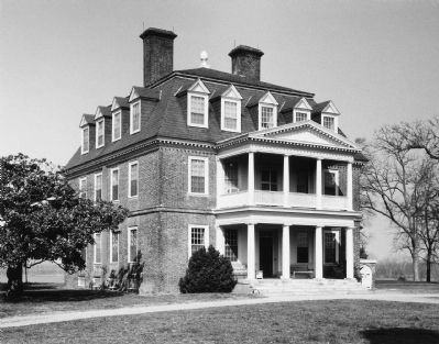
National Register of Historic Places
9. Shirley Plantation
Internet Archive
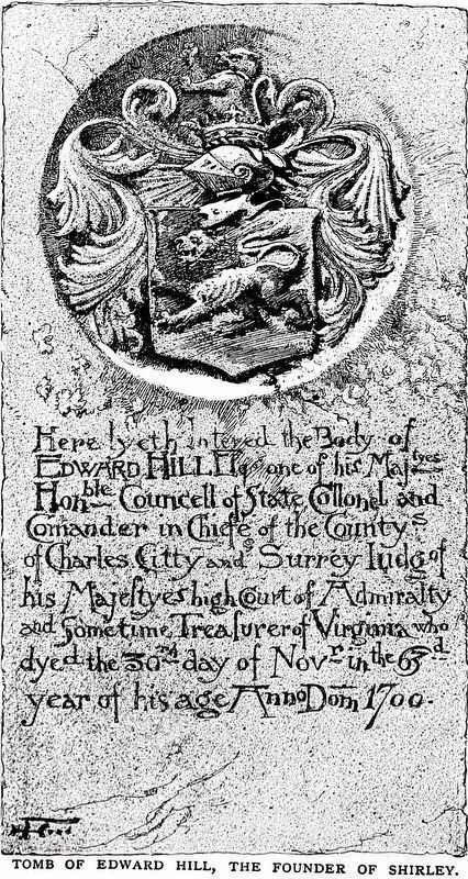
10. Tomb of Edward Hill
The Founder of Shirley
—In theShirley Plantation Cemetery—
The Founder of Shirley
—In theShirley Plantation Cemetery—
Edward Hill Esq. one of his Majestyes
Hon-ble Councell of State Collonel and
Comander in Chiefe of the County’s
Of Charles Citty and Surrey Judge of
His Majestyes high court of Admiralty
And Sometimes Treasurer of Virginia who
dyed the 30th of Nov-r in the 63rd
year of his age Anno Dom 1700
Image from The Century Magazine, Vol. XLI, No. 3, January 1891.
Credits. This page was last revised on October 17, 2020. It was originally submitted on July 27, 2008, by Kathy Walker of Stafford, Virginia. This page has been viewed 2,771 times since then and 86 times this year. Photos: 1. submitted on July 27, 2008, by Kathy Walker of Stafford, Virginia. 2, 3, 4, 5, 6, 7, 8. submitted on December 3, 2012, by Don Morfe of Baltimore, Maryland. 9. submitted on June 2, 2010, by Bernard Fisher of Richmond, Virginia. 10. submitted on October 14, 2020, by Allen C. Browne of Silver Spring, Maryland. • Craig Swain was the editor who published this page.
Editor’s want-list for this marker. Wide shot of marker and its surroundings. • Can you help?
