Geismar in Ascension Parish, Louisiana — The American South (West South Central)
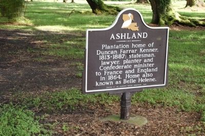
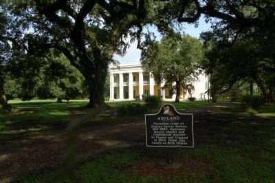
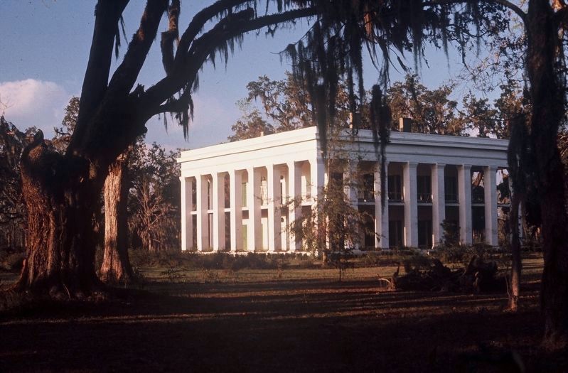
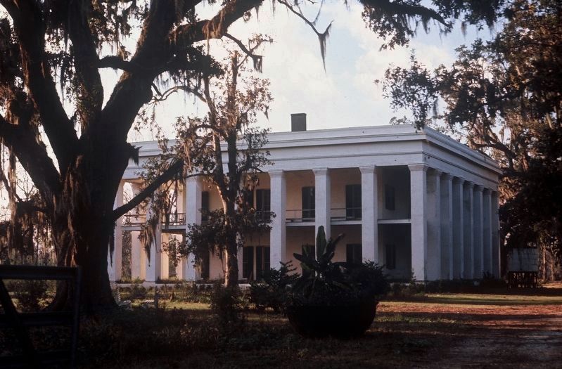
Ashland
Erected 1969 by Louisiana Tourist Commission.
Topics. This historical marker is listed in these topic lists: Agriculture • Government & Politics • Settlements & Settlers. A significant historical year for this entry is 1864.
Location. 30° 10.547′ N, 90° 59.857′ W. Marker is in Geismar, Louisiana, in Ascension Parish. Marker is on Ashland Road (State Highway 3251) 0.2 miles east of River Road (State Highway 75), on the right when traveling west. Touch for map. Marker is in this post office area: Geismar LA 70734, United States of America. Touch for directions.
Other nearby markers. At least 8 other markers are within 5 miles of this marker, measured as the crow flies. Abe Hawkins (a few steps from this marker); Gaudin Home Place (approx. 1.6 miles away); Bocage Plantation (approx. 4.4 miles away); Houmas House (approx. 4˝ miles away); Fort Butler African American Soldiers Memorial (approx. 4.7 miles away); Fort Butler UDC Monument (approx. 4.7 miles away); Walter Lemann, Sr. Pumping Station (approx. 4.7 miles away); Fort Butler (approx. 4.7 miles away).
Credits. This page was last revised on February 24, 2024. It was originally submitted on July 5, 2015. This page has been viewed 442 times since then and 28 times this year. Last updated on July 23, 2016. Photos: 1. submitted on July 5, 2015, by Cajun Scrambler of Assumption, Louisiana. 2. submitted on July 5, 2015. 3, 4. submitted on September 10, 2017, by David Seibert of Sandy Springs, Georgia. • Bill Pfingsten was the editor who published this page.


