Pueblo in Pueblo County, Colorado — The American Mountains (Southwest)
Jacob Fowler's Lookout - Fountain City
Photographed by Mark Hilton, July 23, 2016
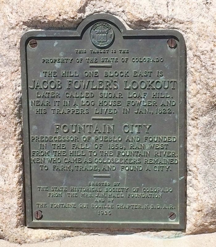
1. Jacob Fowler's Lookout - Fountain City Marker
Property of the State of Colorado
——
The hill one block east is
Jacob Fowler's Lookout.
Later called Sugar Loaf Hill.
Near it in a log house Fowler
and his trappers lived in Jan., 1822.
——
Fountain City
Predecessor of Pueblo and founded
in the fall of 1858, ran west
from the hill to the Fountain River.
Men who came as goldseekers remained
to farm, trade, and found a city.
—
Erected by
The state historical society of Colorado
from the Mrs. J.N. Hall Foundation
and by
the Fontaine Qui Bouille Charter, N.S.D.A.R.
1936
Erected 1936 by The state historical society of Colorado from the Mrs. J.N. Hall Foundation and by the Fontaine Qui Bouille Charter, N.S.D.A.R. (Marker Number 44.)
Topics and series. This historical marker is listed in these topic lists: Exploration • Settlements & Settlers • Waterways & Vessels. In addition, it is included in the Daughters of the American Revolution (DAR), and the History Colorado series lists. A significant historical month for this entry is January 1822.
Location. 38° 15.824′ N, 104° 35.52′ W. Marker is
this page online

Regionally, this marker is in Colorado’s Arkansas River Valley and in the Front Range. It is also in the American Mountain West. Globally, it is in North America, the Rocky Mountains, the Western Hemisphere, the Western World, and the Anglosphere. Historically, it finds itself in what was once the Comanchería and also the Republic of Texas.
Other nearby markers. At least 8 other markers are within one mile of this marker, measured as the crow flies: The Mormon Battalion (approx. 0.9 miles away); The Artist for Marcelino Baca - Huberto Maestas (approx. one mile away); The Artist for Charles Autobees - Dustin Payne C/A (approx. one mile away); The Artist for Teresita Sandoval & Deon Duncan (approx. one mile away); Pueblo Trading Post (approx. one mile away); Teresita Sandoval (approx. one
Photographed by Mark Hilton, July 23, 2016
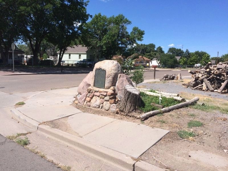
2. Jacob Fowler's Lookout - Fountain City Marker
Photographed by Mark Hilton, July 23, 2016
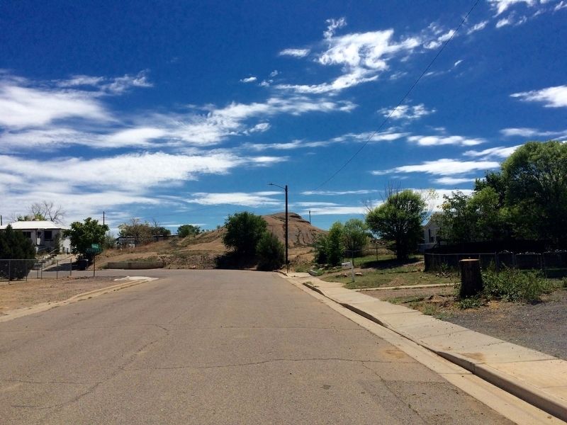
3. Jacob Fowler's Lookout hill.
Photographed by Mark Hilton, July 23, 2016
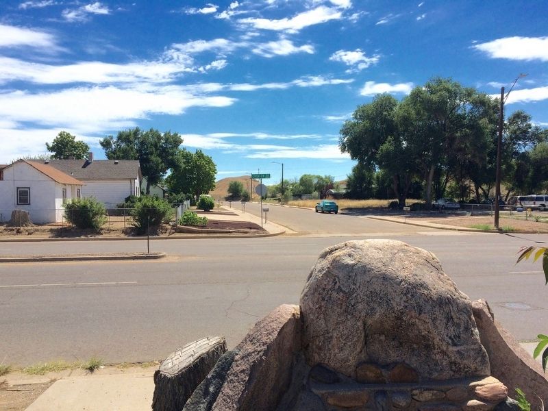
4. Jacob Fowler's Lookout - Fountain City Marker with hill in background.
Credits. This page was last revised on August 14, 2025. It was originally submitted on July 23, 2016, by Mark Hilton of Montgomery, Alabama. This page has been viewed 1,540 times since then and 82 times this year. Photos: 1. submitted on August 14, 2025, by Mark Hilton of Montgomery, Alabama. 2, 3, 4. submitted on July 23, 2016, by Mark Hilton of Montgomery, Alabama.
