Gainesville in Cooke County, Texas — The American South (West South Central)
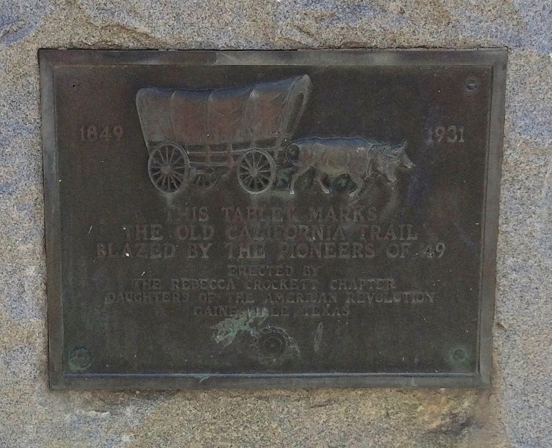
The Old California Trail
1849 - 1931
The Old California Trail
blazed by the pioneers of '49
Erected 1931 by the Rebecca Crockett Chapter Daughters of the American Revolution Gainesville, Texas.
Topics and series. This historical marker is listed in these topic lists: Exploration • Roads & Vehicles. In addition, it is included in the California Trail, and the Daughters of the American Revolution series lists.
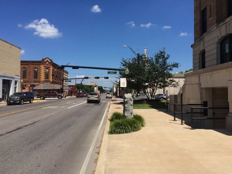
Location. 33° 37.452′ N, 97° 8.744′ W. Marker is in Gainesville, Texas, in Cooke County. Marker is at the intersection of West California Street (State Highway 51) and South Dixon Street, on the right when traveling east on West California Street. Touch for map. Marker is at or near this postal address: 100 South DIxon Street, Gainesville TX 76240, United States of America. Touch for directions.
Other nearby markers. At least 8 other markers are within walking distance of this marker. Cooke County Courthouse (within shouting distance of this marker); Gainesville National Bank (about 300 feet away, measured in a direct line); Barbed Wire in Cooke County (about 400 feet away); Old City Hall-Fire Station (about 500 feet away); W. T. G. Weaver (approx. 0.2 miles away); Cooke County Free Library (approx. 0.2 miles away); Potter-Hurley House (approx. 0.2 miles away); First United Methodist Church (approx. 0.2 miles away). Touch for a list and map of all markers in Gainesville.
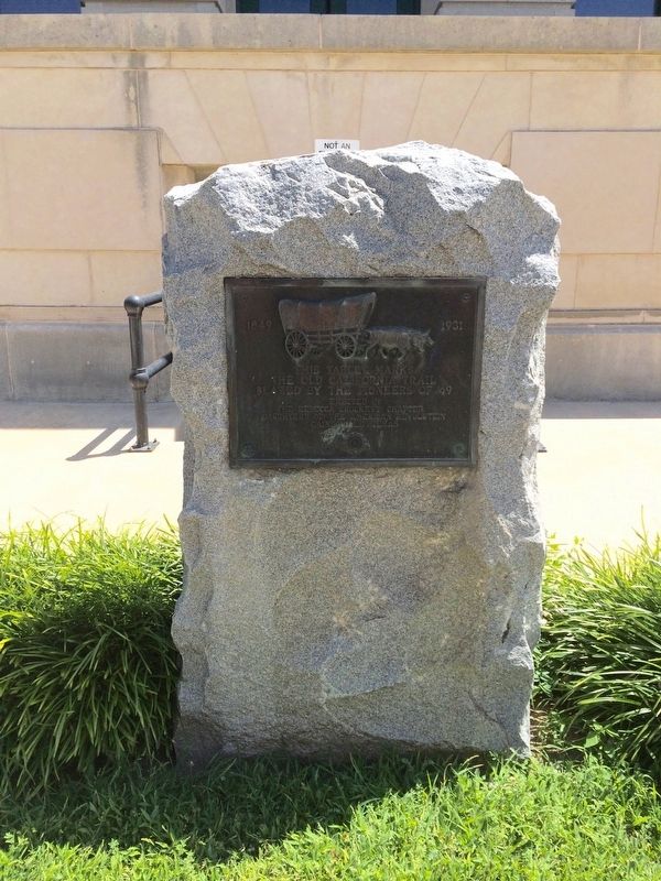
Regarding The Old California Trail. The Chisholm Trail, the Butterfield Stage Line, and the California Trail all passed through this area at one time, guaranteeing its longevity and strategic importance. This granite DAR marker was placed on the Fort Smith Arkansas-Choctaw Country-Texas branch of the California trail. Emigrants used this trail from 1849-1869 to head to the gold fields of California. Cattle drives used this trail to move cattle to markets in California and the west.
Also see . . . Wikipedia article on the 'California Road'. (Submitted on July 24, 2016, by Mark Hilton of Montgomery, Alabama.)
Credits. This page was last revised on July 25, 2016. It was originally submitted on July 24, 2016, by Mark Hilton of Montgomery, Alabama. This page has been viewed 570 times since then and 11 times this year. Photos: 1, 2, 3. submitted on July 24, 2016, by Mark Hilton of Montgomery, Alabama.


