Hancock in Washington County, Maryland — The American Northeast (Mid-Atlantic)
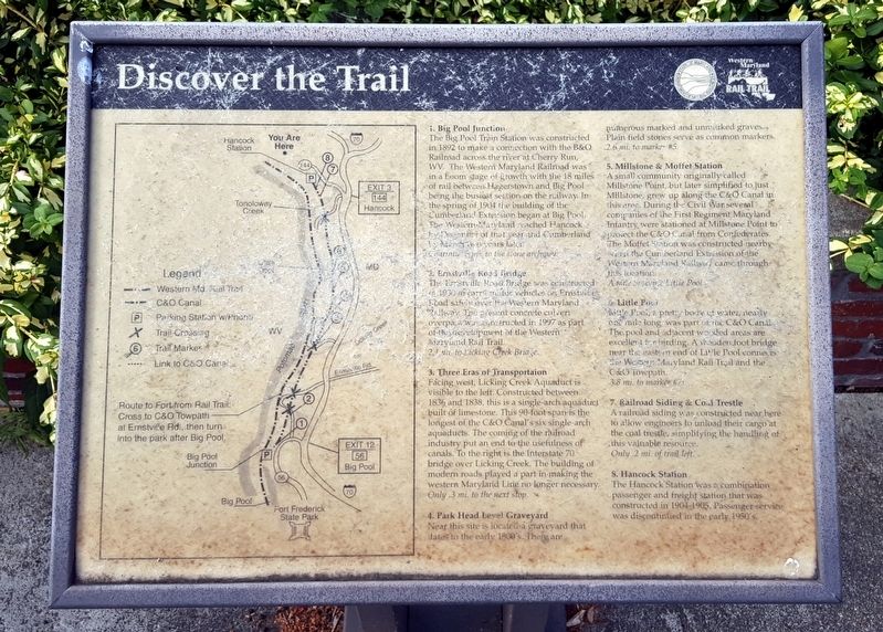
Discover the Trail
Western Maryland Rail Trail
1. Big Pool Junction
The Big Pool Train Station was constructed in 1892 to make a connection with the B&O Railroad across the river at Cherry Run, WV. The Western Maryland Railroad was in a boom stage of growth with the 18 miles of rail between Hagerstown and Big Pool being the busiest section on the railway. In the spring of 1904 building of the Cumberland Extension began at Big Pool. The Western Maryland reached Hancock by December of that year and Cumberland by March two years later.
Continue 3 mi. to the stone archway.
2. Ernstville Road Bridge
The Ernstville Road Bridge was constructed in 1930 to carry motor vehicles on Ernstville Road safely over the Western Maryland Railway. The present concrete culvert overpass was constructed in 1997 as part of the development of the Western Maryland Rail Trail.
2.1 mi. to Licking Creek Bridge.
3. Three Eras of Transportation
Facing west, Licking Creek Aquaduct is visible to the left. Constructed between 1836 and 1838, this is a single-arch aquaduct built of limestone. This 90-foot span is the longest of the C&O Canal's six aquaducts. The coming of the railroad industry put an end to the usefulness of canals. To the right is the Interstate 70 bridge over Licking Creek. The building of modern roads played a part in making the western Maryland Line no longer necessary.
Only .3 mi. to the next stop.
4. Park Head Level Graveyard
Near this site is located a graveyard that dates to the early 1800’s. There are numerous marked and unmarked graves. Plain field stones serve as common markers.
2.6 mi. to marker #5.
5. Millstone & Moffet Station
A small community originally called Millstone Point, but later simplified to just Millstone, grew up along the C&O Canal in this area. During the Civil War several companies of the First Regiment Maryland Infantry were stationed at Millstone Point to protect the C&O Canal from Confederates. The Moffet Station was constructed nearby the when the Cumberland Extension of the Western Maryland Railway came through this location.
A mile to scenic Little Pool.
6. Little Pool
Little Pool, a pretty body of water, nearly one mile long, was part of the C&O Canal. The pool and adjacent wooded areas are excellent for birding. A wooden foot bridge near the eastern end of Little Pool connects the Western Maryland Rail Trail and the C&O Towpath.
3.8 mi. to marker #7.
7. Railroad Siding & Coal Trestle
A railroad siding was constructed near here to allow engineers to unload their cargo at the coal trestle, simplifying the handling of this valuable

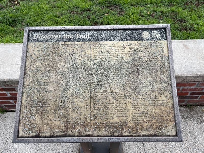
Photographed By Devry Becker Jones (CC0), June 12, 2022
2. Discover the Trail Marker
Unfortunately, the marker has weathered and is significantly unreadable.
Only .2 mi of trail left.
8. Hancock Station
The Hancock Station was a combination passenger and freight station that was constructed in 1904-1905. Passenger service was discontinued in the early 1950’s.
(caption)
Route to Fort from Rail Trail: Cross to C&O Towpath at Ernstville Rd., then turn into the park after Big Pool.
Erected by State of Maryland Department of Natural Resources.
Topics. This historical marker is listed in these topic lists: Industry & Commerce • Railroads & Streetcars • Waterways & Vessels.
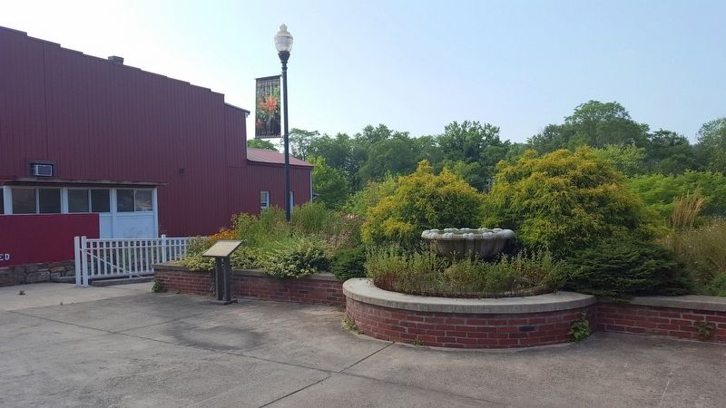
Location. 39° 41.929′ N, 78° 10.748′ W. Marker has been reported unreadable. Marker is in Hancock, Maryland, in Washington County. Marker can be reached from West Main Street (Maryland Route 144) east of Taney Street South, on the right when traveling east. Touch for map. Marker is in this post office area: Hancock MD 21750, United States of America. Touch for directions.
Other nearby markers. At least 8 other markers are within walking distance of this location. "Perkins House" / "Davis" Hotel (here, next to this marker); Hancock (a few steps from this marker); Major James Breathed (a few steps from this marker); A New Beginning (a few steps from this marker); a different marker also named Discover the Trail (within shouting distance of this marker); "Hershey Ice Cream" Shop / "Barton House" (within shouting distance of this marker); Hancock Station (about 300 feet away, measured in a direct line); The C&O Canal: Serving the Potomac Valley (about 300 feet away). Touch for a list and map of all markers in Hancock.
Also see . . . Western Maryland Rail Trail. Maryland Department of Natural Resources website entry (Submitted on July 25, 2016.)
Credits. This page was last revised on June 13, 2022. It was originally submitted on July 25, 2016, by Bernard Fisher of Richmond, Virginia. This page has been viewed 346 times since then and 12 times this year. Photos: 1. submitted on July 25, 2016, by Bernard Fisher of Richmond, Virginia. 2. submitted on June 13, 2022, by Devry Becker Jones of Washington, District of Columbia. 3. submitted on July 25, 2016, by Bernard Fisher of Richmond, Virginia.

