Near Hancock in Washington County, Maryland — The American Northeast (Mid-Atlantic)
Little Pool
Western Maryland Rail Trail
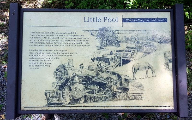
Little Pool was part of the Chesapeake and Ohio Canal which connected Cumberland to Georgetown and ran parallel to the Potomac River. The principal cargo hauled on the canal heading east was coal. Westbound boats hauled various cargoes such as furniture, produce and fertilizer. The canal operated until the flood of 1924 forced its abandonment.
Little Pool is nearly one mile long and was formed by transferring the towpath from the mainland to an island in the Potomac River. A stop gate was located at the end of Little Pool so that it did not have to be drained during the winter.
Topics. This historical marker is listed in these topic lists: Industry & Commerce • Waterways & Vessels.
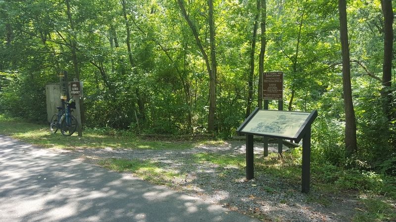
Location. 39° 41.028′ N, 78° 6.202′ W. Marker is near Hancock, Maryland, in Washington County. Marker can be reached from Hollow Road south of Millstone Road (Maryland Route 615). Located on the Western Maryland Rail Trail. Touch for map. Marker is in this post office area: Hancock MD 21750, United States of America. Touch for directions.
Other nearby markers. At least 8 other markers are within 4 miles of this marker, measured as the crow flies. Millstone & Moffet Station (approx. 0.9 miles away); The Historic Bowles House (approx. 2.8 miles away); A Work of Art (approx. 2.9 miles away); Comm. Bruce Clipp (approx. 3.3 miles away); Fort Mills (approx. 3.7 miles away); Three Eras of Transportation Side by Side (approx. 3.7 miles away); Railroad Siding & Coal Trestle (approx. 3.8 miles away); Hancock Presbyterian Church (approx. 4 miles away). Touch for a list and map of all markers in Hancock.
Also see . . . Western Maryland Rail Trail. State of Maryland Department of Natural Resources website entry (Submitted on July 26, 2016.)
Credits. This page was last revised on February 22, 2022. It was originally submitted on July 26, 2016, by Bernard Fisher of Richmond, Virginia. This page has been viewed 413 times since then and 31 times this year. Photos: 1, 2. submitted on July 26, 2016, by Bernard Fisher of Richmond, Virginia.

