Near Moran in Teton County, Wyoming — The American West (Mountains)
The Great Divide
Inscription.
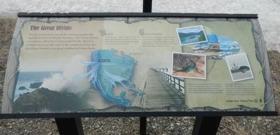
You are perched on one of the most geographically significant lines in North America -- the Great Divide, sometimes called the Continental Divide. This line of high terrain at the crest of the continent forms the boundary between two great continental watersheds.
A watershed is a region of land in which all water drains toward a common river, lake, or ocean. Each watershed is bounded by high terrain, like the rim of a funnel.
Face east from this point, and all the land you see drains toward rivers that coalesce and empty into the Atlantic Ocean at the Gulf of Mexico. Face west and you'll survey lands that drain toward the Pacific.
Within the two major watersheds of North America are many secondary watersheds, each of which serves a major river or lake. Just a few miles southwest of Togwotee Pass is Three Waters Mountain, a peak that forms a juncture point between three such watersheds.
Depending on where it lands on the slope of Three Waters Mountain, a drop of rain or flake of snow may end up flowing in the Colorado, the Columbia, or the Missouri rivers. Two raindrops that fall just yards apart may wind up thousands of miles apart by they time they reach the ocean.
Erected by Bridger-Teton National Forest.
Topics. This historical marker is listed in this topic list: Natural Features.
Location. 43° 45.156′ N, 110° 4.106′ W. Marker is near Moran, Wyoming, in Teton County. Marker is on U.S. 287 near U.S. Forest Service 30010, on the left when traveling west. Touch for map. Marker is in this post office area: Moran WY 83013, United States of America. Touch for directions.
Other nearby markers. At least 3 other markers are within 13 miles of this marker, measured as the crow flies. Leading the Way (about 500 feet away, measured in a direct line); Tie Hack Memorial (approx. 10.2 miles away); Dick Turpin (approx. 12.4 miles away).
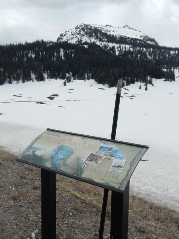
More about this marker. This marker is located at the summit of Togwotee Pass.
Credits. This page was last revised on August 1, 2016. It was originally submitted on August 1, 2016, by Barry Swackhamer of Brentwood, California. This page has been viewed 313 times since then and 14 times this year. Photos: 1, 2. submitted on August 1, 2016, by Barry Swackhamer of Brentwood, California.

