Fort Washington in Prince George's County, Maryland — The American Northeast (Mid-Atlantic)
Welcome to Fort Washington’s Waterside Trail
Photographed by Allen C. Browne, April 14, 2019
1. Welcome to Fort Washington’s Waterside Trail Marker
Inscription.
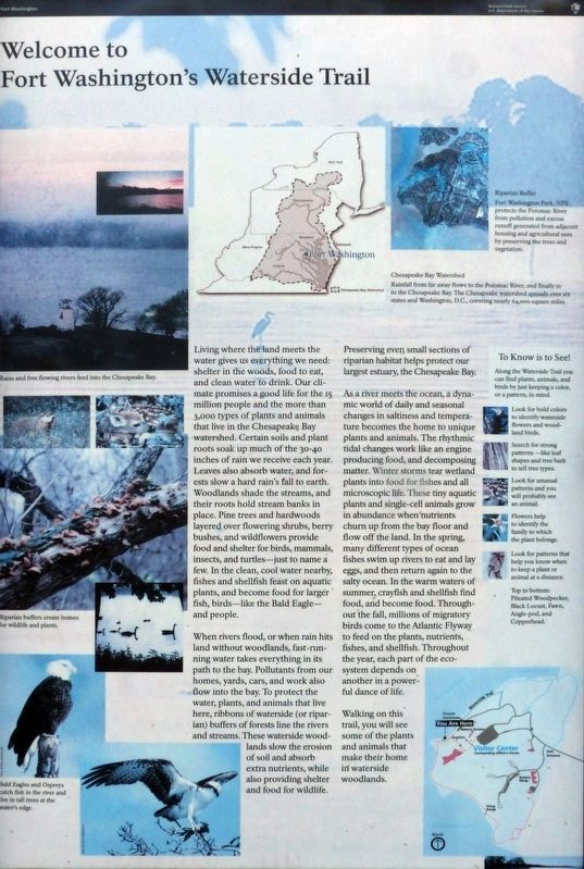
Living where the land meets the water gives us everything we need: shelter in the woods, food to eat, and clean water to drink. Our climate promises a good life for the 15 million people and the more than 3,000 types of plants and animals that live in the Chesapeake Bay watershed. Certain soils and plant roots soak up much of the 30-40 inches of rain we receive each year. Leaves also absorb water, and forests slow a hard rain’s fall to earth. Woodlands shade the stream, and their roots hold stream banks in place. Pine trees and hardwoods layered over flowering shrubs, berry bushes, and wildflowers provide food and shelter for birds, mammals, insects, and turtles—just to name a few. In the clean, cool water nearby, fishes and shellfish feast on aquatic plants, and become food for larger fish, birds—like the Bald Eagle—and people.
When rivers flood, or when rain hits land without woodlands, fast-running water takes everything in its path to the bay. Pollutants from our homes, yards, cars, and work also flow into the bay. To protect the water, plants, and animals that live here, ribbons of waterside (or riparian) buffers of forests line the rivers and streams. These waterside woodland slow the erosion of soil and absorb extra nutrients, while also providing shelter and food for wildlife.
Preserving even small sections of riparian habitat helps protect our largest estuary, the Chesapeake Bay.
As a river meets the ocean, a dynamic world of daily and seasonal changes in saltiness and temperature becomes the home to unique plants and animals. The rhythmic tidal changes work like an engine producing food, and decomposing matter. Winter storms tear wetland plants into food for fishes and all microscopic life. These tiny aquatic plants and single-cell animals grow to abundance when nutrients
Click or scan to see this page online
churn up from the bay floor and flow off the land. In the spring, many different types of ocean fishes swim up rivers to eat and lay eggs, and then return again to the salty ocean. In the warm waters of summer, crayfish and shellfish find food, and become food. Throughout the fall, millions of migratory birds come to the Atlantic Flyway to feed on the plants, nutrients, and fishes, and shellfish. Throughout the year, each part of the ecosystem depends on another in a powerful dance of life.
Walking on this trail, you will see some of the plants and animals that make their home in waterside woodlands.
Location. 38° 42.741′ N, 77° 2.194′ W. Marker is in Fort Washington, Maryland, in Prince George's County. It is on Fort Washington Park Road. This marker is near the Fort Washington Park Lighthouse. Touch for map. Marker is in this post office area: Fort Washington MD 20744, United States of America. Touch for directions.
Regionally, this marker is in the Washington Metropolitan
Photographed by Don Morfe, July 30, 2016
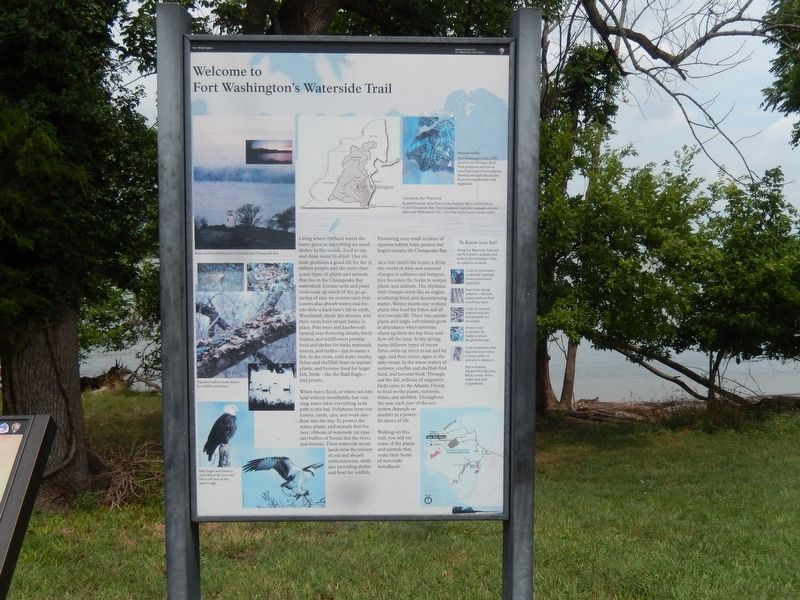
2. Welcome to Fort Washington’s Waterside Trail Marker
Area. It is also in the American South, specifically in the Upper South, in the Mid-Atlantic, and on the Eastern Seaboard. Globally, it is in the North Atlantic Region, North America, the Western Hemisphere, the Western World, and the Anglosphere. Historically, it finds itself in what was once one of the original Thirteen Colonies and also the Antebellum South.
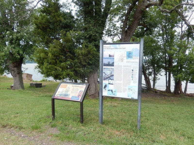
3. Welcome to Fort Washington’s Waterside Trail Marker
This marker is next to the Self Destruction-Star-Spangled Banner National Historic Trail Marker
Photographed by Don Morfe, July 30, 2016
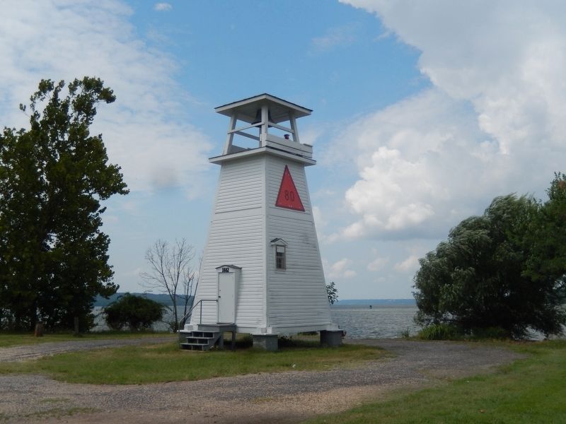
4. Welcome to Fort Washington’s Waterside Trail Marker
This marker is near the Fort Washington Lighthouse
Photographed by Don Morfe, July 30, 2016
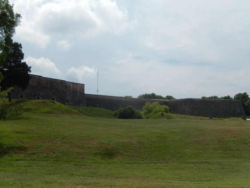
5. Fort Washington from the Potomac River's edge
Photographed by Don Morfe, July 30, 2016
6. Sign at the entrance to Fort Washington Park
Photographed by Allen C. Browne, April 14, 2019
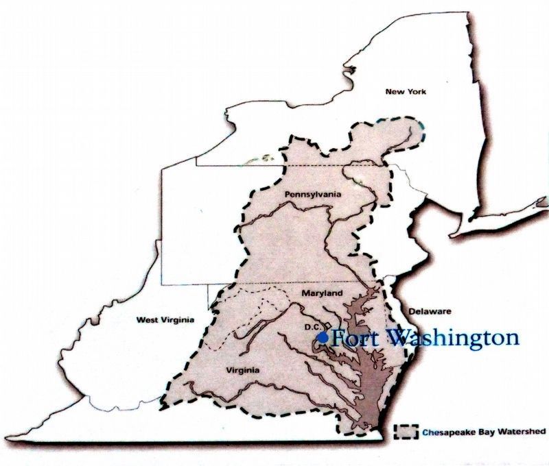
7. Fort Washington in the Chesapeake Bay Watershed
Close-up of map on marker
Photographed by Allen C. Browne, April 14, 2019
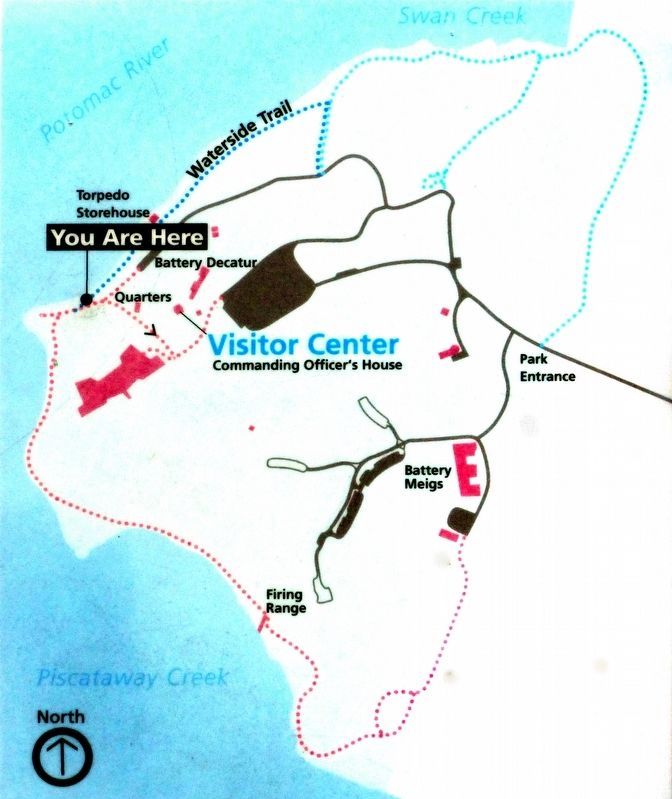
8. You Are Here
Close-up of map on marker
Credits. This page was last revised on April 16, 2019. It was originally submitted on August 1, 2016, by Don Morfe of Baltimore, Maryland. This page has been viewed 375 times since then and 12 times this year. Photos:1. submitted on April 15, 2019, by Allen C. Browne of Silver Spring, Maryland. 2, 3, 4, 5, 6. submitted on August 1, 2016, by Don Morfe of Baltimore, Maryland. 7, 8. submitted on April 15, 2019, by Allen C. Browne of Silver Spring, Maryland. • Bill Pfingsten was the editor who published this page.