Frostburg in Allegany County, Maryland — The American Northeast (Mid-Atlantic)
The National Road
Photographed by F. Robby, July 29, 2016
1. The National Road Marker
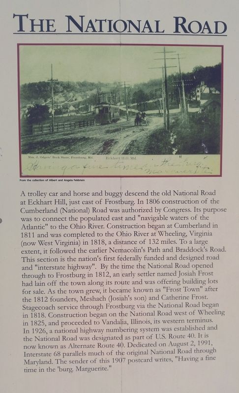
[text with postcard image] From the collection of Albert and Angela Feldstein.
Topics. This historical marker is listed in these topic lists: Roads & Vehicles • Settlements & Settlers. A significant historical date for this entry is August 2, 1991.
Location. 39° 39.505′ N, 78° 55.28′ W. Marker is in Frostburg, Maryland, in Allegany County. It can be reached from Depot
this page online

Regionally, this marker is in Western Maryland. It is also in the American Mid-Atlantic, in Appalachia, and specifically in Northern Appalachia. Globally, it is in North America, the Western Hemisphere, the Western World, and the Anglosphere. Historically, it finds itself in what was once one of the original Thirteen Colonies.
Other nearby markers. At least 8 other markers are within walking distance of this marker: The Cumberland and Pennsylvania Railroad (within shouting distance of this marker); Coal Mining (about 300 feet away, measured in a direct line); Frostburg (about 400 feet away); a different marker also named Frostburg (about 400 feet away); Cumberland and Pennsylvania Railroad Depot (about 700 feet away); The Naming of Frostburg (approx. 0.2 miles away); St. Michael's Parish Hall (approx. 0.3 miles away); The Braddock Stone (approx. 0.3 miles away). Touch for a list and map
Photographed by F. Robby, July 29, 2016
2. The National Road Marker
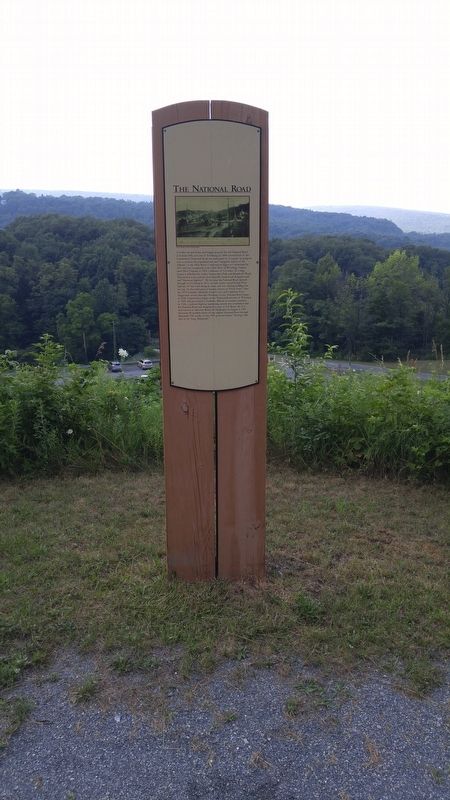
The Great Allegheny Passage trail is behind this marker, about a .3 mile walk away.
Photographed by F. Robby, July 29, 2016
3. The National Road Marker
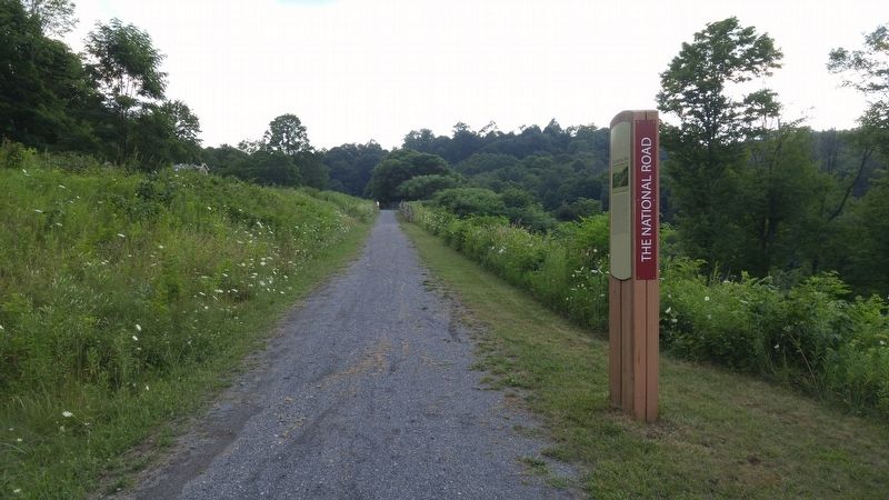
Looking up the access trail towards the intersection of Depot Street and New Hope Road.
Credits. This page was last revised on August 1, 2016. It was originally submitted on August 1, 2016, by F. Robby of Baltimore, Maryland. This page has been viewed 707 times since then and 26 times this year. Photos: 1, 2, 3. submitted on August 1, 2016, by F. Robby of Baltimore, Maryland.
