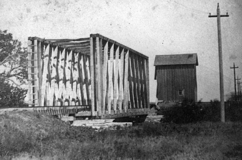
Hays in Ellis County, Kansas — The American Midwest (Upper Plains)
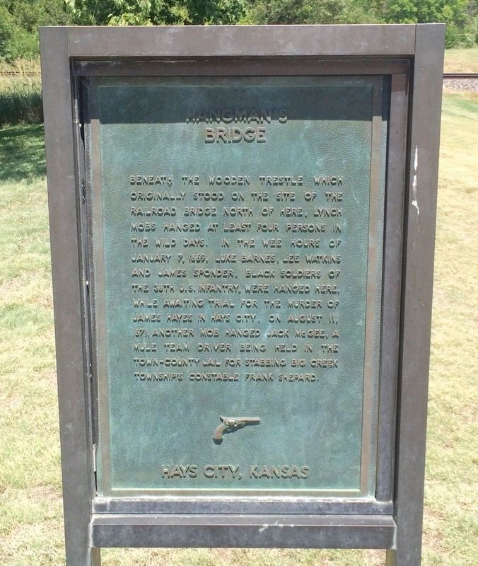
Hangman's Bridge
Hays City, Kansas
Erected by City of Hays Kansas Convention & Visitors Bureau.
Topics. This historical marker is listed in these topic lists: African Americans • Notable Events. A significant historical date for this entry is January 7, 1869.
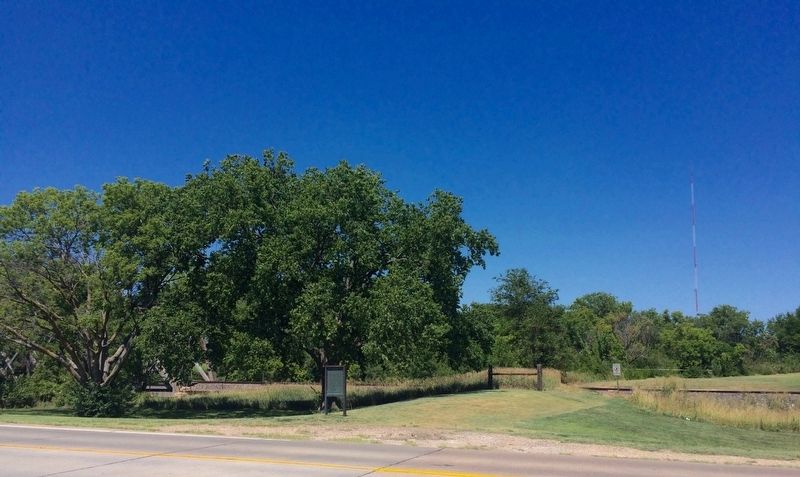
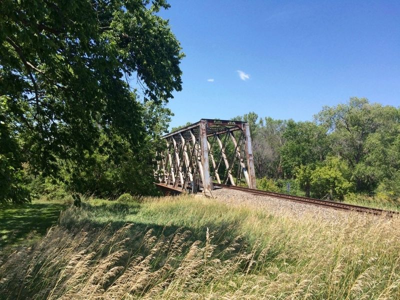
Location. Marker is missing. It was located near 38° 52.604′ N, 99° 20.647′ W. Marker was in Hays, Kansas, in Ellis County. Marker was on North Campus Drive (Old Highway 40) 0.4 miles west of Elm Street. Located right on the Big Creek Trail near Fort Hays State University. Touch for map. Marker was at or near this postal address: North Campus Drive, Hays KS 67601, United States of America. Touch for directions.
Other nearby markers. At least 8 other markers are within walking distance of this location. Townsite of Rome (about 700 feet away, measured in a direct line); Fort Hays State University War Memorial (approx. 0.3 miles away); St. Joseph Church (approx. 0.6 miles away); St. Joseph Parochial School (approx. 0.7 miles away); The Sporting Palace (approx. 0.7 miles away); Sheriff Bardsley's Home (approx. 0.7 miles away); Jim Curry’s Restaurant (approx. 0.7 miles away); Gospel Hill (approx. 0.7 miles away). Touch for a list and map of all markers in Hays.
Regarding Hangman's Bridge. Some sources show James Sponder as James Ponder.
Also see . . . "Black Soldiers At Fort Hays, Kansas, 1867-1869 A Study In Civilian And Military Violence" (.pdf). (Submitted on August 1, 2016, by Mark Hilton of Montgomery, Alabama.)
Credits. This page was last revised on January 20, 2022. It was originally submitted on August 1, 2016, by Mark Hilton of Montgomery, Alabama. This page has been viewed 2,656 times since then and 290 times this year. Photos: 1, 2, 3. submitted on August 1, 2016, by Mark Hilton of Montgomery, Alabama. 4. submitted on November 25, 2017, by Bob Cline of Loveland, Colorado. 5. submitted on August 1, 2016, by Mark Hilton of Montgomery, Alabama.
