Broad Street Bridge
The Historic National Road in Ohio
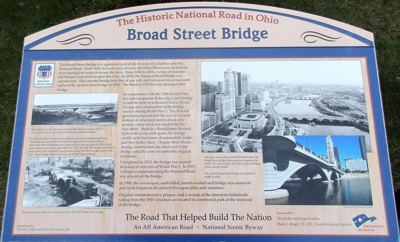
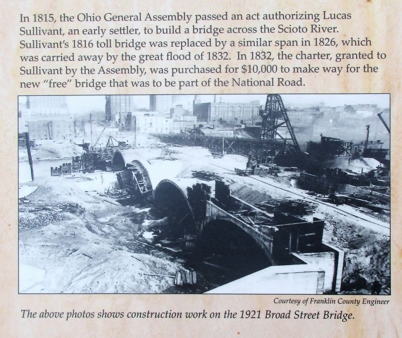
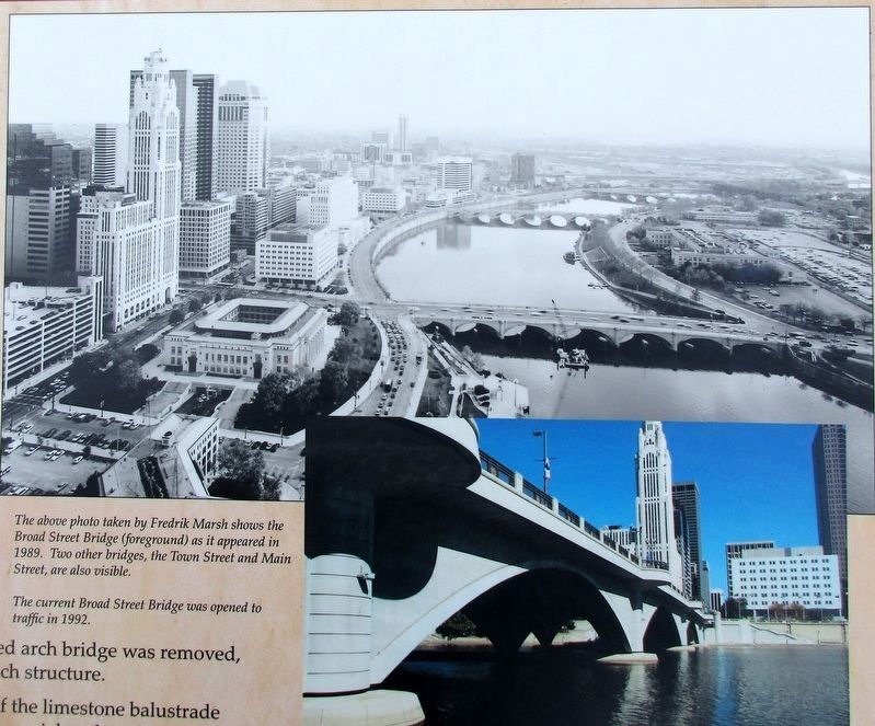
In conjunction with the 1908 Master Plan for redevelopment of the city, a new bridge would be built to withstand future floods. Design and construction of the bridge started during World War I, The Federal government promoted the use of concrete instead of structural steel in local civic projects, since steel was needed for the war effort. Built in a Renaissance Revival style with seven arch spans, the bridge could carry four lanes of automobile traffic and two trolley lines. Despite three floods during construction, the cost of the bridge actually came in under the original estimates.
Completed in 1921, the bridge was named in
this page online
In 1990, the seven span, earth filled, barrel-vaulted bridge was removed, and work began on the present five span plate-arch structure.
Original commemorative plaques and a section of the limestone balustrade railing from the 1921 structure are located in a memorial park at the west end of the bridge.
Erected 2013 by The Hadler and Peppe Families, Dean C. Ringle, P.E,, P.S., Franklin County Engineer.
Topics and series. This historical marker is listed in these topic lists: Architecture • Bridges & Viaducts • Roads & Vehicles. In addition, it is included in the The Historic National Road series list.
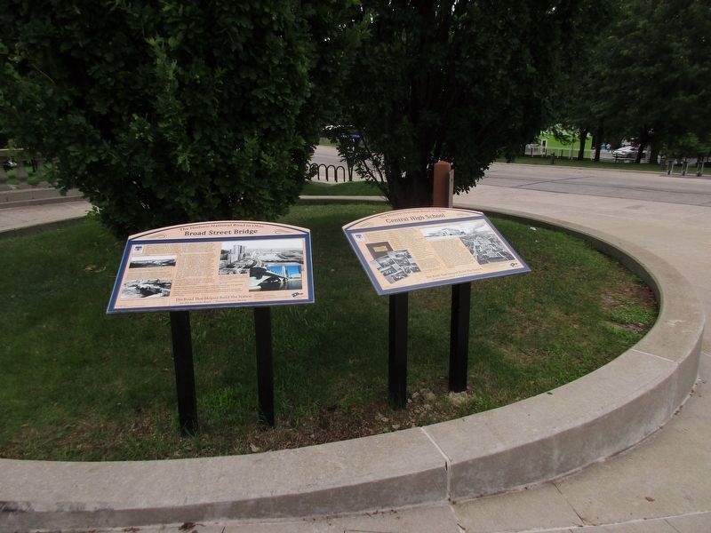
Location. 39° 57.682′ N, 83° 0.374′ W. Marker is in Columbus, Ohio, in Franklin County. It is in Downtown. It is at the intersection of West Broad Street Old National Road (U.S. 40) and Washington Blvd, on the right when traveling east on West Broad Street Old National Road. Marker is at the west end of the bridge, on the south side, at the entrance to Genoa Park.

Regionally, this marker is in the Scioto Valley. It is also in the American Midwest and in the Corn Belt. Globally, it is in North America, the Western Hemisphere, the Western World, and the Anglosphere. Historically, it finds itself in what was once the Haudenosaunee (Iroquois) Confederacy, the territory of the Mississippian Culture, and the Northwest Territory.
Other nearby markers. At least 8 other markers are within walking distance of this marker: Central High School (here, next to this marker); Scioto River Historical Marker (within shouting distance of this marker); Celebration of Life (within shouting distance of this marker); World War Memorial Bridge (within shouting distance of this marker); Memorial Bridge (within shouting distance of this marker); Franklinton Historical Society Statue (within shouting distance of this marker); Prairie Garden (about 700 feet away, measured in a direct line); USS Columbus (about 700 feet away). Touch for a list and map of all markers
Additional keywords. Old National Road
Credits. This page was last revised on February 3, 2023. It was originally submitted on August 1, 2016, by Rev. Ronald Irick of West Liberty, Ohio. This page has been viewed 1,210 times since then and 155 times this year. Photos: 1, 2, 3, 4, 5. submitted on August 1, 2016, by Rev. Ronald Irick of West Liberty, Ohio. • Bill Pfingsten was the editor who published this page.
