Exeter in Rockingham County, New Hampshire — The American Northeast (New England)
Exeter NH Folsom and Gilman Marker
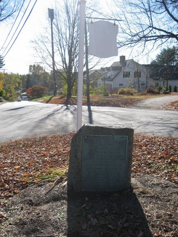
Photographed by James R. Murray, August 4, 2016
1. Exeter NH Folsom and Gilman Marker Marker
Erected 1918.
Topics. This historical marker is listed in these topic lists: Colonial Era • Settlements & Settlers. A significant historical year for this entry is 1638.
Location. 42° 58.677′ N, 70° 55.799′ W. Marker is in Exeter, New Hampshire, in Rockingham County. It is at the intersection of Drinkwater Road and Rt. 111, in the median on Drinkwater Road. Touch for map. Marker is in this post office area: Exeter NH 03833, United States of America. Touch for directions.

Regionally, this marker is on the Seacoast. It is also in the American Northeast, in New England, and on the Eastern Seaboard. Globally, it is in the North Atlantic Region, North America, the Western Hemisphere, the Western World, and the Anglosphere. Historically, it finds itself in what was once one of the original
this page online
Other nearby markers. At least 8 other markers are within one mile of this marker, measured as the crow flies: The Folsom Tavern (approx. 0.8 miles away); Site of the First Mill At Falls of the Squamscott River (approx. 0.8 miles away); Revolutionary Capital (approx. 0.9 miles away); Exeter NH War Memorial (approx. 0.9 miles away); Exeter Town House (approx. 0.9 miles away); Abraham Lincoln Speaks in New Hampshire (approx. 0.9 miles away); Ladd-Gilman House (approx. one mile away); Exeter (approx. one mile away). Touch for a list and map of all markers in Exeter.
Credits. This page was last revised on February 16, 2023. It was originally submitted on August 4, 2016, by James R. Murray of Elkton, Florida. This page has been viewed 2,059 times since then and 264 times this year. Photo 1. submitted on August 4, 2016, by James R. Murray of Elkton, Florida. • Bill Pfingsten was the editor who published this page.
