The Crossroads of America
Vandalia
| — | The Historic National Road in Ohio | — |
this page online
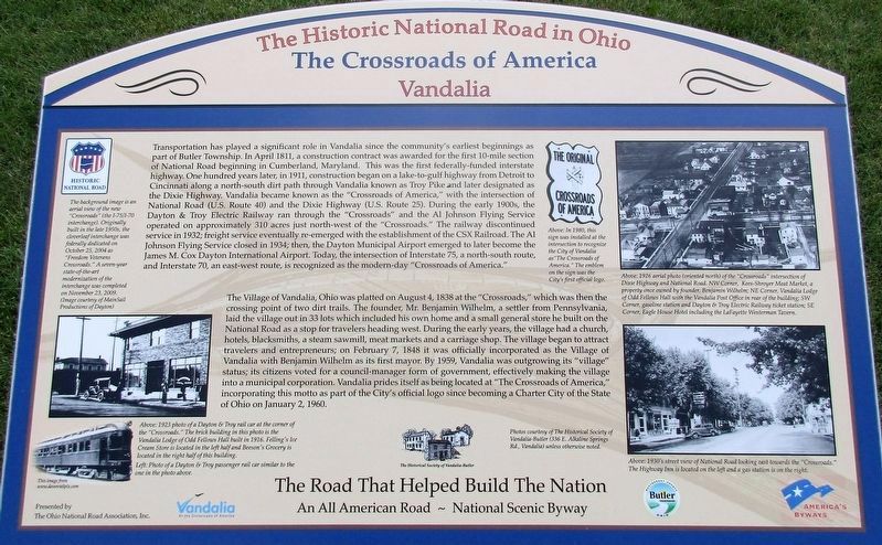
The Village of Vandalia was platted August 4, 1838 at the “Crossroads,” which was then the crossing point of two dirt trails. The founder, Mr. Benjamin Wilheim, a settler from Pennsylvania, laid out the village in 33 lots which included his own home and a small general store he built on the National Road as a stop for travelers heading west. During the early years, the village had a church, hotels, blacksmiths, a steam sawmill, meat markets and a carriage shop. The village began to attract travelers and entrepreneurs; on February 7, 1848 it was officially incorporated as the Village of Vandalia with William Wilheim as first mayor. By 1959, Vandalia was outgrowing its “village” status; its citizens voted for a council-manager form of government, effectively making the village into a municipal corporation. Vandalia prides itself as being located at “The Crossroads of America,” incorporating this motto as part
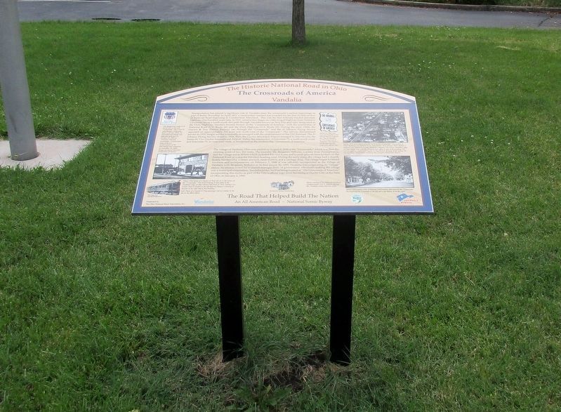
Erected 2011 by The Historical Society of Vandalia-Butler.
Topics and series. This historical marker is listed in these topic lists: Railroads & Streetcars • Roads & Vehicles • Settlements & Settlers. In addition, it is included in the The Historic National Road series list. A significant historical year for this entry is 1811.
Location. 39° 53.436′ N, 84° 11.997′ W. Marker is in Vandalia, Ohio, in Montgomery County. It is at the intersection of National Road (U.S. 40) and Dixie Highway (County Route 25), on the left when traveling west on National Road. Touch for map. Marker is at or near this postal address: 110 West National Road, Vandalia OH 45377, United States of America. Touch for directions.

Regionally, this marker is in Ohio’s Dayton Metro and in the Miami Valley. It is also in the American Midwest and in the Corn Belt. Globally, it is in North America, the Western Hemisphere, the Western World, and the Anglosphere. Historically, it finds itself in what was once the Haudenosaunee (Iroquois) Confederacy,
Other nearby markers. At least 8 other markers are within 2 miles of this marker, measured as the crow flies: Henry Seger Community Park (about 800 feet away, measured in a direct line); Cpl. John B. Buckmaster (approx. 1.4 miles away); World War II Veterans Memorial (approx. 1.4 miles away); Vandalia-Butler Persian Gulf Veterans Memorial (approx. 1½ miles away); Vandalia Veterans Memorial (approx. 1½ miles away); Tadmor - Taylorsville (approx. 1.9 miles away); Taylorsville Metropark (approx. 1.9 miles away); Taylorsville Metropark - Metroparks Park System (approx. 1.9 miles away). Touch for a list and map of all markers in Vandalia.
Additional keywords. Old National Road, Dixie Highway
Credits. This page was last revised on August 8, 2016. It was originally submitted on August 5, 2016, by Rev. Ronald Irick of West Liberty, Ohio. This page has been viewed 2,831 times since then and 191 times this year. Photos: 1, 2, 3. submitted on August 5, 2016, by Rev. Ronald Irick of West Liberty, Ohio. • Bill Pfingsten was the editor who published this page.
