Benton in Saline County, Arkansas — The American South (West South Central)
De Soto Trail
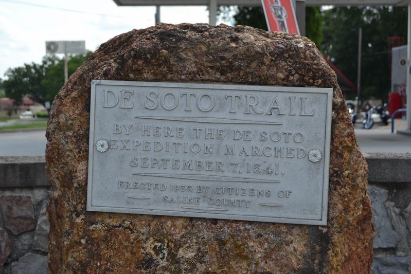
Photographed by Duane Hall, July 30, 2016
1. De Soto Trail Marker
Erected 1935 by Citizens of Saline County.
Topics. This historical marker is listed in these topic lists: Colonial Era • Exploration. A significant historical date for this entry is September 7, 1541.
Location. 34° 34.164′ N, 92° 35.141′ W. Marker is in Benton, Arkansas, in Saline County. It is at the intersection of E. Carpenter Street (State Highway 35) and Military Road, on the right when traveling east on E. Carpenter Street. Touch for map. Marker is in this post office area: Benton AR 72015, United States of America. Touch for directions.

Regionally, this marker is in the Little Rock Metropolitan Area and in the Ouachita Mountains. It is also in the American South and specifically in the Upper South. Globally, it is in North America, the Western Hemisphere, the Western World, and the Anglosphere. Historically, it finds itself in what was once the territory of the Mississippian Culture, the Louisiana Purchase, one of the Confederate States of America, and the Antebellum South.
Other nearby markers. At least 8 other markers are within walking distance
this page online
Also see . . . Route of the De Soto Expedition. From The Arkansas Encyclopedia of History & Culture. (Submitted on August 8, 2016.)
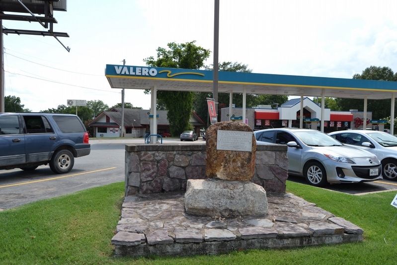
Photographed by Duane Hall, July 30, 2016
2. De Soto Trail Marker

Photographed by Duane Hall, July 30, 2016
3. Marker at Intersection of Highway 35 and Military Road
Credits. This page was last revised on September 9, 2020. It was originally submitted on August 8, 2016, by Duane Hall of Abilene, Texas. This page has been viewed 1,291 times since then and 101 times this year. Photos: 1, 2, 3. submitted on August 8, 2016, by Duane Hall of Abilene, Texas.
