Hunnewell in Sumner County, Kansas — The American Midwest (Upper Plains)
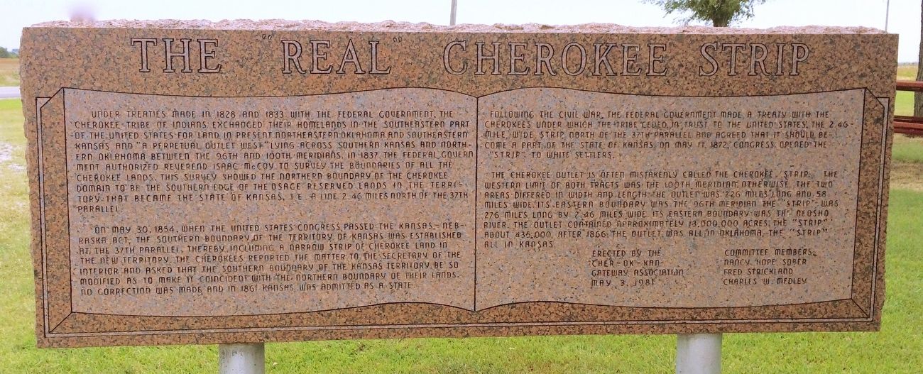
The "Real" Cherokee Strip
⎯⎯⎯
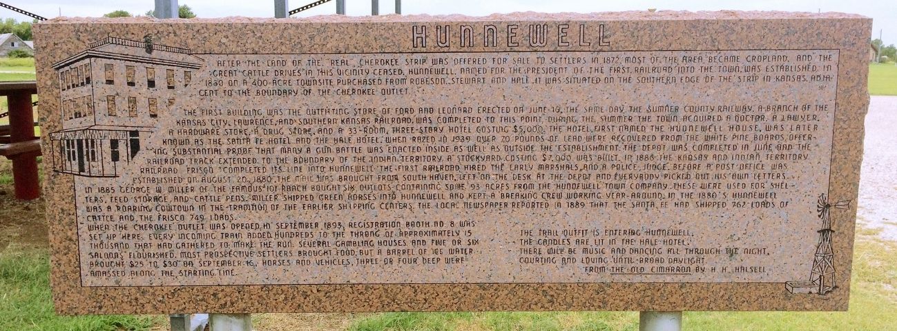
Hunnewell
Photographed by Mark Hilton, August 2, 2016
1. The "Real" Cherokee Strip Marker
Front
On May 30, 1854, when the United States Congress passed the Kansas – Nebraska Act. The southern boundary of the territiory of Kansas was established at the 37th parallel, thereby including a narrow strip of Cherokee land in the new territory. The Cherokees reported the matter to the Secretary of the Interior and asked that the southern boundary of the Kansas territory be so modified as to make it
this page online
Following the Civil War the Federal Government made a treaty with the Cherokees under which the tribe ceded, in trust to the United States, the 2.46 mile wide strip north of the 37th parallel and agreed that it should become part of the State of Kansas. On May 11, 1872 Congress opened the "Strip" to white settlers.
The Cherokee Outlet is often mistakenly called the Cherokee Strip. The western limit of both tracts was 100th meridian. Otherwise the two areas differed in width and length. The Outlet was 226 miles long and 58 miles wide. It's eastern boundary was 96th meridian "The Strip" was 276 miles long by 2.46 miles wide. It's eastern boundary was the Neosho River. The outlet contained approximately 13,000,000 acres. The "Strip" about 435,000. After 1866 the Outlet was all in Oklahoma, the "Strip" all in Kansas.
Rear
Photographed by Mark Hilton, August 2, 2016
2. Hunnewell Marker (Rear)
The first building was the outfitting store of Ford and Leonard erected June 16, the same day the Sumner County Railway, a branch of the Kansas City, Lawrence, and Southern Kansas Railroad was completed to this point. During the summer the town acquired a doctor, a lawyer, a hardware store, a drug store, and a 33-room, three-story hotel costing $5,000.00. The hotel first named Hunnewell House was later known as the Sante Fe Hotel and the Hale Hotel. When razed in 1939 over 70 pounds of lead were recovered from the white pine boards offering substantial proof that many a gun battle was enacted inside as well as outside the establishment. The depot was completed in June and the railroad track extended to the boundary of the Indian territory. A stockyard costing $7,000 was built 1886 the Kansas Indian Territory. Railroad Frisco completed it's line into Hunnewell. The first
Photographed by Mark Hilton, August 2, 2016
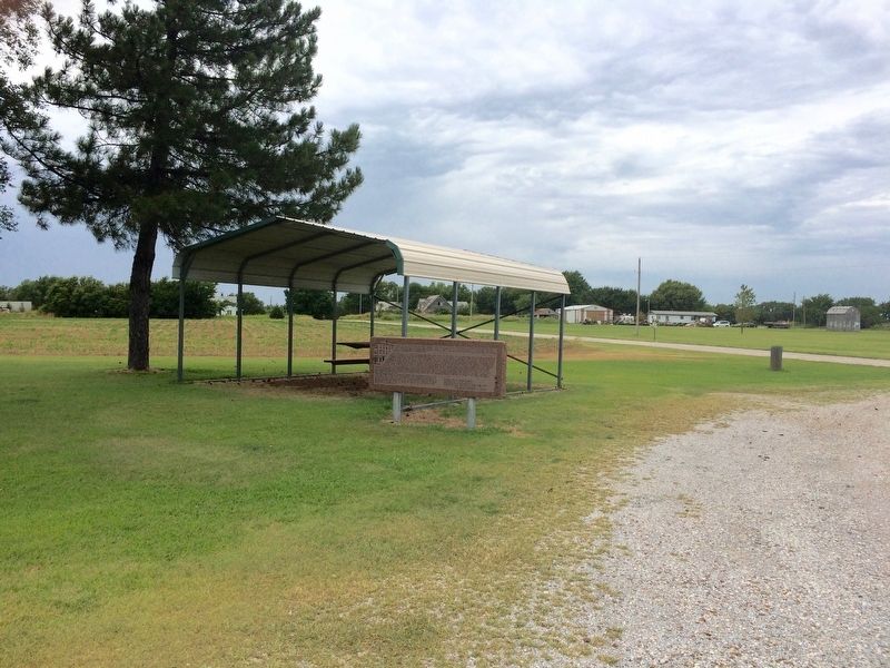
3. View of marker in a small roadside rest area.
When the Cherokee Outlet was opened in September 1893, Registration Booth No. 8 was set up here. Every incoming train added hundreds to the throng of approximately 15 thousand that had gathered to make the run. Several gambling houses and five or six saloons flourished. Most prospective settlers brought food, but a barrel of ice water brought $25 to $30. On September 16, horses and vehicles, three and four deep were amassed along the starting
Photographed by Mark Hilton, August 2, 2016
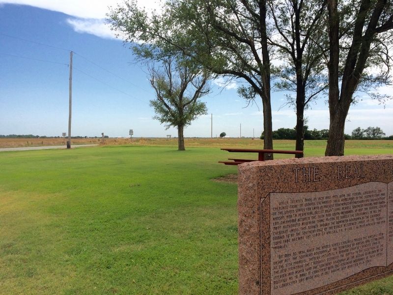
4. View looking south on U.S. Highway 177.
The candles are lit in Hale Hotel.
There will be music and dancing all through the night,
Courting and loving until the break of daylight.
From The Old "Cimarron" by H.H. Halsell
Erected 1981 by the Cher-Ok-Kan Gateway Association, Committee menbers: Nancy Hope Sober, Fred Strickland, Charles W. Medley.
Topics. This historical marker is listed in these topic lists: Indigenous Peoples and Communities • Railroads & Streetcars • Settlements & Settlers. A significant historical date for this entry is May 30, 1854.
Location. 37° 0.279′ N, 97° 24.076′ W. Marker is in Hunnewell, Kansas, in Sumner County. It is at the intersection of South Hoover Road (U.S. 177) and Main Street, on the right when traveling south on South Hoover Road. Located in small roadside picnic area long the highway. Touch for map. Marker is at or near this postal address: South Hoover Road, South Haven KS 67140, United States of America. Touch for directions.

Regionally, this marker is in Eastern Kansas and in Greater Wichita. It is also in the American Midwest, in the Corn Belt, on the prairies, and on the Southern Plains. Globally, it is in North America, the Western Hemisphere, the Western World, and the Anglosphere. Historically, it finds itself in what was once New Spain and also the Louisiana Purchase.
Other nearby markers. At least 6 other markers are within 16 miles of this marker, measured as the crow flies: Oklahoma War Chief (approx. 3.6 miles away in Oklahoma); Braman / Braman Business Leaders 1898 — 1930 (approx. 6.7 miles away in Oklahoma); Blackwell Zinc Company WWII Memorial (approx. 15½ miles away in Oklahoma); 100 Beautiful Years (approx. 15½ miles away in Oklahoma); Homesteaders (approx. 15½ miles away in Oklahoma); Oklahoma Baptist College (approx. 15½ miles away in Oklahoma).
Also see . . . More about the Cherokee Strip land rush. (Submitted on August 8, 2016, by Mark Hilton of Montgomery, Alabama.)
Credits. This page was last revised on August 9, 2016. It was originally submitted on August 8, 2016, by Mark Hilton of Montgomery, Alabama. This page has been viewed 1,544 times since then and 129 times this year. Photos: 1, 2, 3, 4. submitted on August 8, 2016, by Mark Hilton of Montgomery, Alabama.
