Near Lander in Fremont County, Wyoming — The American West (Mountains)
Rocky Ridge
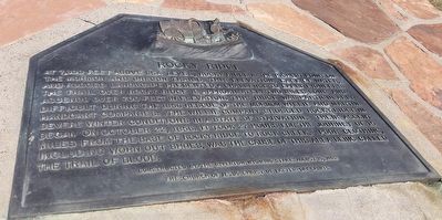
Photographed by Tracy Scussel, July 19, 2016
1. Rocky Ridge Marker
Erected 1992 by The Church of Jesus Christ of Latter-day Saints, Riverton Wyoming Stake.
Topics and series. This historical marker is listed in these topic lists: Disasters • Roads & Vehicles. In addition, it is included in the Mormon Pioneer Trail series list. A significant historical date for this entry is October 22, 1856.
Location. 42° 27.773′ N, 108° 26.225′ W. Marker is near Lander, Wyoming, in Fremont County.
this page online

Regionally, this marker is in Wind River Country. It is also in the American Mountain West. Globally, it is in North America, the Rocky Mountains, the Western Hemisphere, the Western World, and the Anglosphere.
Other nearby markers. At least 6 other markers are within 14 miles of this marker, measured as the crow flies: Willie Rescue Site (approx. 1½ miles away); Willie’s Handcart Company (approx. 9.6 miles away); Beaver Rim and the Wind River Range (approx. 11.3 miles away); Gold Flakes to Yellowcake Historic Mine Trail (approx. 11.3 miles away); Red Canyon Wildlife Habitat Management Area (approx. 13.3 miles away); Red Canyon (approx. 13.6 miles away).
More about this marker. This marker is approximately 15 miles, as the crow flies, south west of Sweetwater Station on the Oregon Trail.
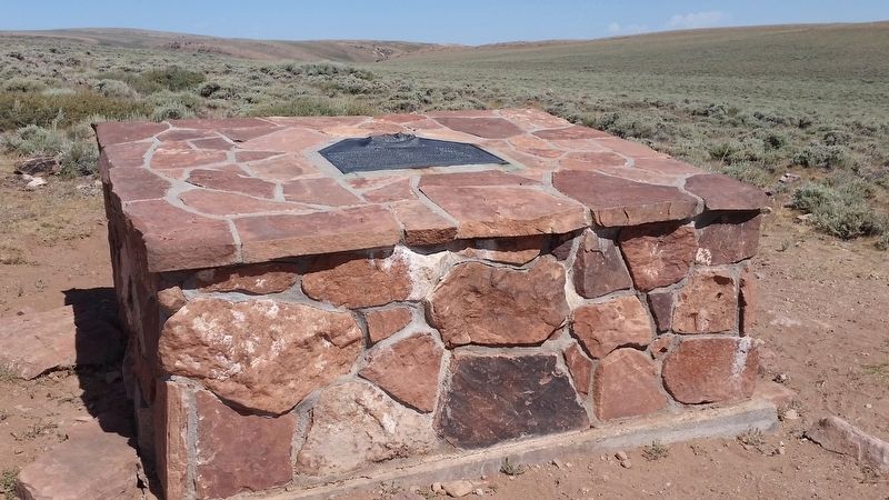
Photographed by Tracy Scussel, July 19, 2016
2. Rocky Ridge Marker
Credits. This page was last revised on March 1, 2025. It was originally submitted on August 9, 2016, by Barry Swackhamer of Brentwood, California. This page has been viewed 3,226 times since then and 247 times this year. Photos: 1, 2. submitted on August 9, 2016, by Barry Swackhamer of Brentwood, California.
