Bryant in Saline County, Arkansas — The American South (West South Central)
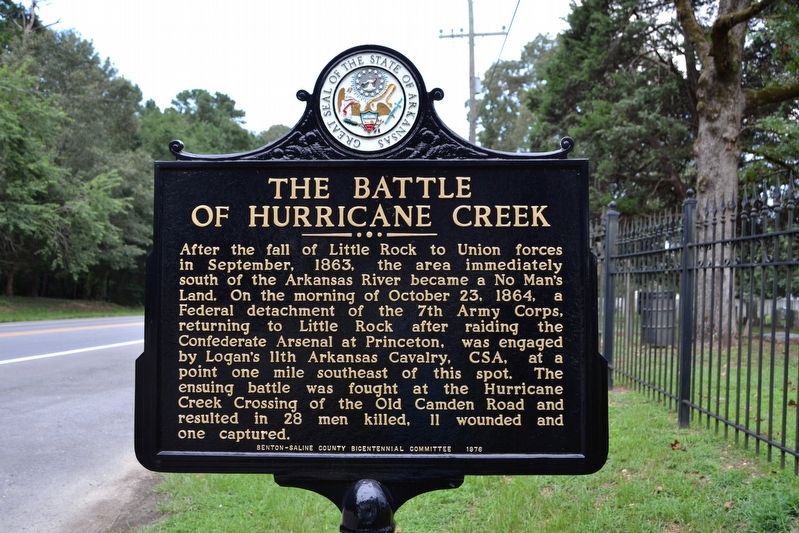
The Battle of Hurricane Creek
Erected 1976 by Benton-Saline County Bicentennial Committee.
Topics and series. This historical marker is listed in this topic list: War, US Civil. In addition, it is included in the The Spirit of í76, Americaís Bicentennial Celebration series list. A significant historical date for this entry is October 23, 1864.
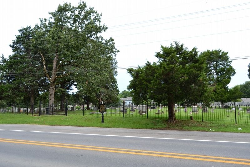
Location. 34° 35.182′ N, 92° 29.561′ W. Marker is in Bryant, Arkansas, in Saline County. Marker is on S. Reynolds Road (State Highway 183) 0.1 miles south of Griffis Road, on the right when traveling south. Touch for map. Marker is in this post office area: Bryant AR 72022, United States of America. Touch for directions.
Other nearby markers. At least 8 other markers are within 6 miles of this marker, measured as the crow flies. City of Bryant (approx. 0.4 miles away); Ashley Park (approx. half a mile away); Bauxite, Arkansas (approx. 2.4 miles away); The Geographical Center of Arkansas (approx. 3Ĺ miles away); George M. Holt / William Ayers Crawford (approx. 4Ĺ miles away); The Salem Campground (approx. 4.9 miles away); The Niloak Pottery (approx. 5 miles away); De Soto Trail (approx. 5.4 miles away). Touch for a list and map of all markers in Bryant.
Credits. This page was last revised on August 9, 2016. It was originally submitted on August 9, 2016, by Duane Hall of Abilene, Texas. This page has been viewed 1,181 times since then and 68 times this year. Photos: 1, 2. submitted on August 9, 2016, by Duane Hall of Abilene, Texas.

