Conway in Faulkner County, Arkansas — The American South (West South Central)
Cadron Blockhouse
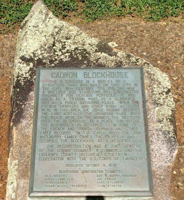
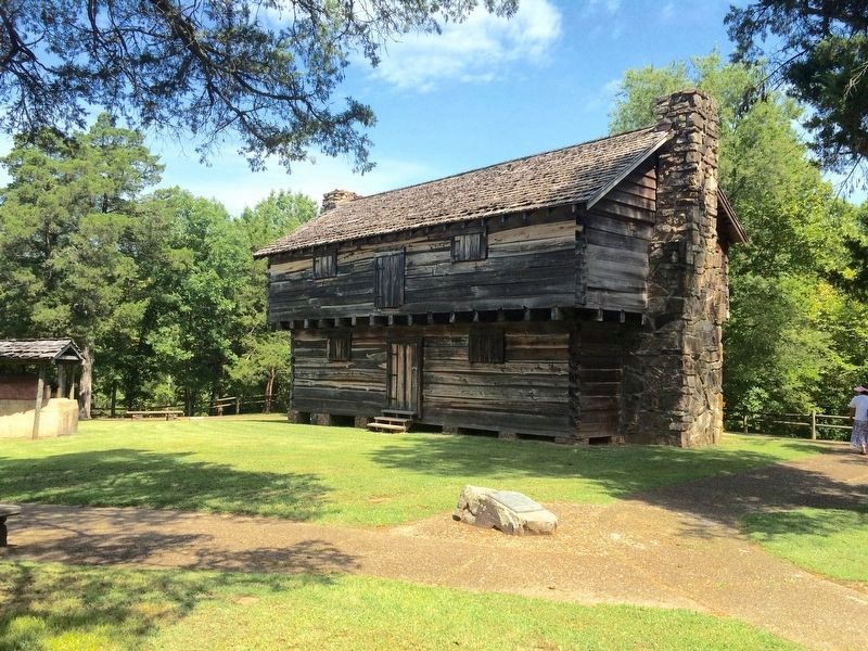
The blockhouse is a replica of a structure that was built on this site in the late 18th century. The building was a multiple use structure, but constructed originally for defense purposes. It was used as a trading post, as a residence, and as a public gathering place. When the French trappers and other early settlers were in this area, the Osage Indians occupied the land north of the Arkansas River. When the Osage were on the warpath, the settlers used the blockhouse as a place for refuge. The blockhouse is refered to in some of the French and Spanish journals and other early records. In the early 1800’s the John McElmurry Family owned the property and occupied the blockhouse as a residence.
The reconstruction was a joint venture of the Conway Chamber of Commerce and the Faulkner County Historical Society in cooperation with the U.S. Corps of Engineers.
W.E. Bailey • Guy W. Murphy, Chairman
Virgil Conatser • Joe Ponder
Terry James • Carl Bylander
Ruger Mills, Treasurer • Thad Stanton
Erected 1979 by the Conway Chamber of Commerce and the Faulkner County Historical Society in cooperation with the U.S. Corps of Engineers.
Topics. This historical marker is listed in these topic lists: Forts and Castles • Native Americans.
Location. 35° 6.238′ N, 92° 32.695′ W. Marker is in Conway, Arkansas, in Faulkner County. Marker can be reached from State Highway 319, 1.7 miles west of 6200 Highway 319 West (U.S. 64). Located inside Cadron Settlement Park. Touch for map. Marker is at or near this postal address: 6200 Highway 319 West, Conway AR 72034, United States of America. Touch for directions.
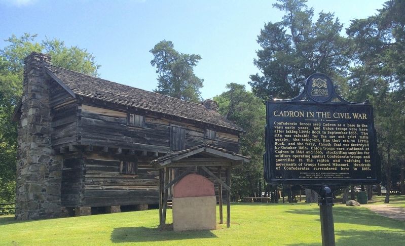
Other nearby markers. At least 8 other markers are within 6 miles of this marker, measured as the crow flies. "Trail of Tears" (here, next to this marker); Cherokee Memorial (here, next to this marker); Lt. Joseph W. Harris, U.S.A. (here, next to this marker); Cadron in the Civil War (a few steps from this marker); 450th Commemoration De Soto Expedition (about 400 feet away, measured in a direct line); Faulkner County (approx. 5.9 miles away); Conway Confederate Monument (approx. 5.9 miles away); The Hendrix Bell at Altus (approx. 5.9 miles away). Touch for a list and map of all markers in Conway.
Also see . . . Faulkner County Historical Society article on the blockhouse. (Submitted on August 9, 2016, by Mark Hilton of Montgomery, Alabama.)
Credits. This page was last revised on August 21, 2020. It was originally submitted on August 9, 2016, by Mark Hilton of Montgomery, Alabama. This page has been viewed 562 times since then and 26 times this year. Photos: 1, 2, 3. submitted on August 9, 2016, by Mark Hilton of Montgomery, Alabama.


