DeValls Bluff in Prairie County, Arkansas — The American South (West South Central)
Why DeValls Bluff
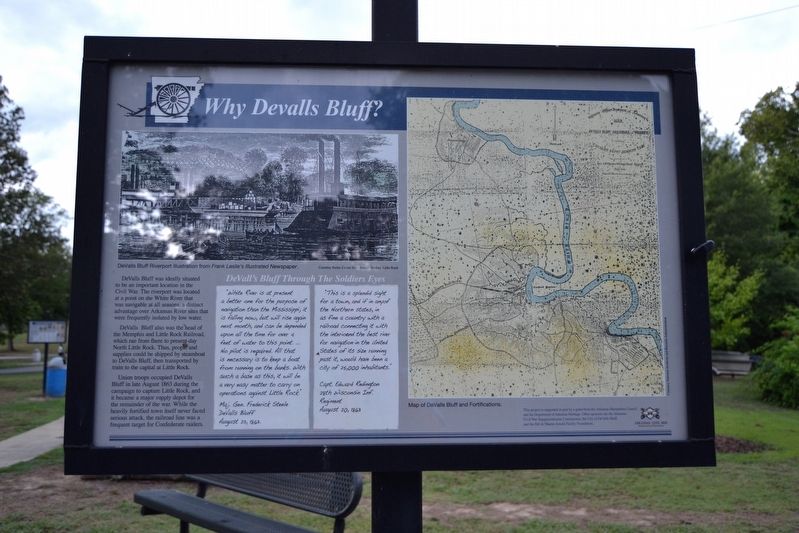
DeValls Bluff was ideally situated to be an important location in the Civil War. The riverport was located at a point on the White River that was navigable at all seasons, a distinct advantage over Arkansas River sites that were frequently isolated by low water.
DeValls Bluff also was the head of the Memphis and Little Rock Railroad, which ran from there to present-day North Little Rock. Thus, people and supplies could be shipped by steamboat to DeValls Bluff, then transported by train to the capital at Little Rock.
Union troops occupied DeValls Bluff in late August 1863 during the campaign to capture Little Rock, and it became a major supply depot for the remainder of the war. While the heavily fortified town itself never faced serious attack, the railroad line was a frequent target for Confederate raiders.
DeVall’s Bluff Through The Soldiers Eyes
“White River is at present a better one for the purpose of navigation than the Mississippi; it is falling now, but will rise again next month, and can be depended upon all the time for over 4 feet of water to this point … No pilot is required. All that is necessary is to keep a boat from running on the banks. With such a base as this, it will be a very easy matter to carry on operations against Little Rock.”
Maj. Gen. Frederick Steele
DeValls Bluff
August 23, 1863.
“This is a splendid sight for a town, and if in any of the Northern states, in as fine a country with a railroad connecting it with the interior and the best river for navigation in the United States of its size running past it, would have been a city of 25,000 inhabitants.”
Capt. Edward Redington
28th Wisconsin Inf.
Regiment
August 20, 1863
Topics. This historical marker is listed in these topic lists: Railroads & Streetcars • War, US Civil • Waterways & Vessels. A significant historical month for this entry is August 1863.
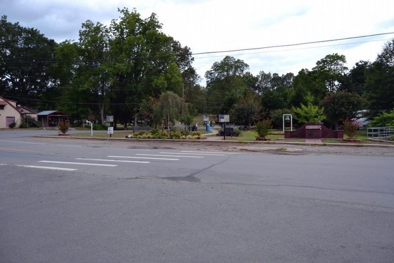
Location. 34° 47.057′ N, 91° 27.524′ W. Marker is in DeValls Bluff, Arkansas, in Prairie County. Marker is at the intersection of Main Street (State Highway 33) and Prairie Avenue, on the right when traveling south on Main Street. Touch for map. Marker is in this post office area: De Valls Bluff AR 72041, United States of America. Touch for directions.
Other nearby markers. At least 8 other markers are within walking distance of this marker. DeValls Bluff Under Fire (a few steps from this marker); War on the White River (a few steps from this marker); DeValls Bluff in the Civil War (a few steps from this marker); Common Ground for Many Soldiers (a few steps from this marker); DeValls Bluff: A Key Union Base (a few steps from this marker); Memphis and Little Rock Railroad
(about 700 feet away, measured in a direct line); a different marker also named The Memphis and Little Rock Railroad (about 700 feet away); DeValls Bluff: A Major Union Riverport (approx. ¼ mile away). Touch for a list and map of all markers in DeValls Bluff.
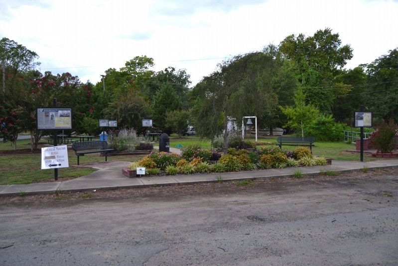
More about this marker. The marker is one of five Civil War interpretive signs in Rhodes Park; there are two other Civil War interpretive signs in DeValls Bluff.
The marker includes a DeValls Bluff Riverport illustration from Frank Leslie’s Illustrated Newspaper (Courtesy Butler Center for Arkansas Studies, Little Rock) and a historic map of DeValls Bluff and Fortifications.
Also see . . .
1. DeValls Bluff (Prairie County). From The Arkansas Encyclopedia of History & Culture. Includes information on De Valls Bluff’s role in the Civil War. (Submitted on August 10, 2016.)
2. DeValls Bluff. Arkansas Department of Parks, Heritage, and Tourism website entry (Submitted on March 3, 2024, by Larry Gertner of New York, New York.)
Additional commentary.
1. Marker Sponsors
The following is written at the lower
right corner of the marker: “This project is supported in part by a grant from the Arkansas Humanities Council and the Department of Arkansas Heritage. Other sponsors are the Arkansas Sesquicentennial Commission, the City of DeValls Bluff and the Bill & Sharon Arnold Family Foundation.”
— Submitted August 10, 2016.
Credits. This page was last revised on March 4, 2024. It was originally submitted on August 10, 2016, by Duane Hall of Abilene, Texas. This page has been viewed 412 times since then and 24 times this year. Photos: 1, 2, 3. submitted on August 10, 2016, by Duane Hall of Abilene, Texas.


