Whitesboro in Grayson County, Texas — The American South (West South Central)
Whitesboro
Photographed by Mark Hilton, July 21, 2016
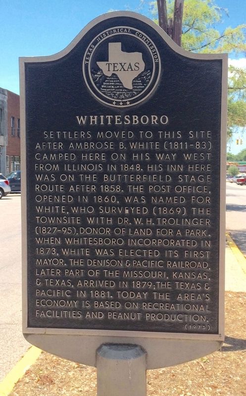
1. Whitesboro Marker
Settlers moved to this site after Ambrose B. White (1811-83) camped here on his way west from Illinois in 1848. His inn here was on the Butterfield Stage route after 1858. The post office, opened in 1860, was named for White, who surveyed (1869) the townsite with Dr. W. H. Trolinger (1827-95), donor of land for a park. When Whitesboro incorporated in 1873, White was elected its first mayor. The Denison & Pacific Railroad, later part of the Missouri, Kansas, & Texas, arrived in 1879; the Texas & Pacific in 1881. Today the area's economy is based on recreational facilities and peanut production.
Erected 1975 by State Historical Survey Committee. (Marker Number 11560.)
Topics. This historical marker is listed in these topic lists: Agriculture • Railroads & Streetcars • Settlements & Settlers. A significant historical year for this entry is 1848.
Location. 33° 39.348′ N, 96° 54.37′ W. Marker is in Whitesboro, Texas, in Grayson County. It is on East Main Street (State Highway 56) east of North Union Street (Business U.S. 377), in the median. Touch for map. Marker is at or near this postal address: 123 East Main Street, Whitesboro TX 76273, United States of America. Touch for directions.

Regionally, this marker is in the Prairies & Lakes Region. It is also in the American South. Globally, it is in North America, a Gulf of Mexico state, the Western Hemisphere, the Western World, and the Anglosphere. Historically, it finds itself in what was once New Spain, the Republic of Texas, one of the Confederate States of America, and the Antebellum South.
Other nearby markers. At least 8 other markers are within 4 miles of this marker, measured as the crow flies: Bennett-Richardson House (about 600 feet away, measured in a direct line); R. N. Younger Home (approx. 0.2 miles away); Mary Florence Cowell
this page online
Also see . . . Whitesboro history. City website entry (Submitted on August 10, 2016, by Mark Hilton of Montgomery, Alabama.)
Photographed by Mark Hilton, July 21, 2016
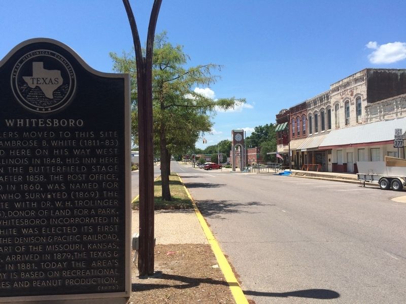
2. Whitesboro Marker looking towards City Hall.
Photographed by Mark Hilton, July 21, 2016
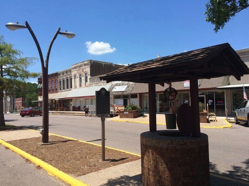
3. Whitesboro Marker & old city water well.
Folks would gather around this well to water themselves and their horses. In addition to supplying water for the local residents, the well was also used to water stock and for the convenience of travelers.
Credits. This page was last revised on April 24, 2024. It was originally submitted on August 10, 2016, by Mark Hilton of Montgomery, Alabama. This page has been viewed 1,098 times since then and 137 times this year. Photos: 1, 2, 3. submitted on August 10, 2016, by Mark Hilton of Montgomery, Alabama.
