Palm Beach in Palm Beach County, Florida — The American South (South Atlantic)
Site of the Palm Beach Pier
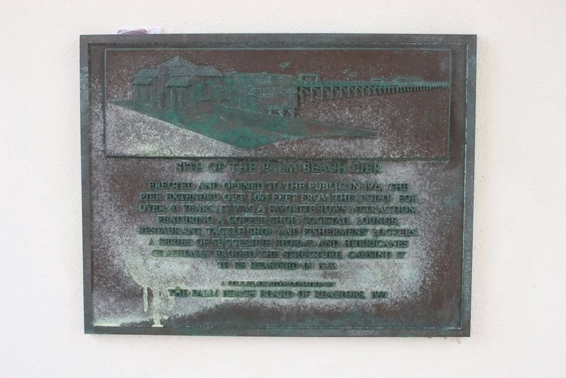
Photographed by Tim Fillmon, August 3, 2016
1. Site of the Palm Beach Pier Marker
Erected 1991 by The Palm Beach Board of Realtors.
Topics. This historical marker is listed in these topic lists: Industry & Commerce • Waterways & Vessels. A significant historical year for this entry is 1925.
Location. 26° 42.043′ N, 80° 1.988′ W. Marker is in Palm Beach, Florida, in Palm Beach County. It is at the intersection of South Ocean Boulevard (State Road A1A) and Worth Avenue, on the left when traveling south on South Ocean Boulevard. Marker is located on the inside wall of the clock tower. Touch for map. Marker is in this post office area: Palm Beach FL 33480, United States of America. Touch for directions.

Regionally, this marker is in South Florida, on the Gold Coast, on the Treasure Coast, and in Greater Miami. It is also in the American South and
this page online
Other nearby markers. At least 8 other markers are within one mile of this marker, measured as the crow flies: Palm Beach Town Hall (approx. ¼ mile away); The Earl E. T. Smith Preservation Park (approx. ¼ mile away); Gold Star Memorial (approx. 0.3 miles away); Palm Beach World War II Memorial (approx. 0.3 miles away); Episcopal Church of Bethesda-By-The-Sea (approx. 0.8 miles away); Cocoanut Grove House (approx. one mile away); The Royal Poinciana Chapel (approx. one mile away); Sea Gull Cottage (approx. one mile away). Touch for a list and map of all markers in Palm Beach.
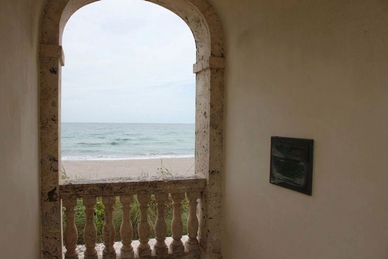
Photographed by Tim Fillmon, August 3, 2016
2. Site of the Palm Beach Pier Marker inside clock tower
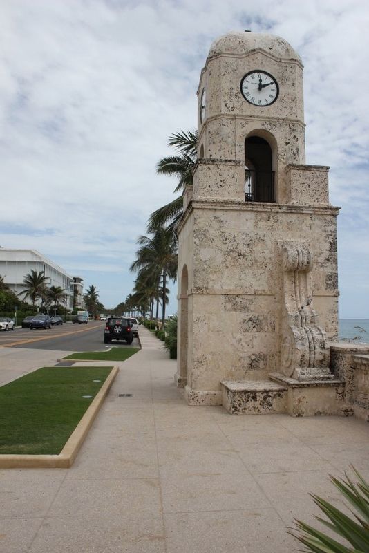
Photographed by Tim Fillmon, August 3, 2016
3. Clock tower with marker inside
Credits. This page was last revised on August 19, 2020. It was originally submitted on August 10, 2016, by Tim Fillmon of Webster, Florida. This page has been viewed 1,255 times since then and 73 times this year. Photos: 1, 2, 3. submitted on August 10, 2016, by Tim Fillmon of Webster, Florida. • Bernard Fisher was the editor who published this page.
