Hamilton in Marion County, Alabama — The American South (East South Central)
Toll Gate
Side 1
Hamilton, Alabama
County Seat Location}
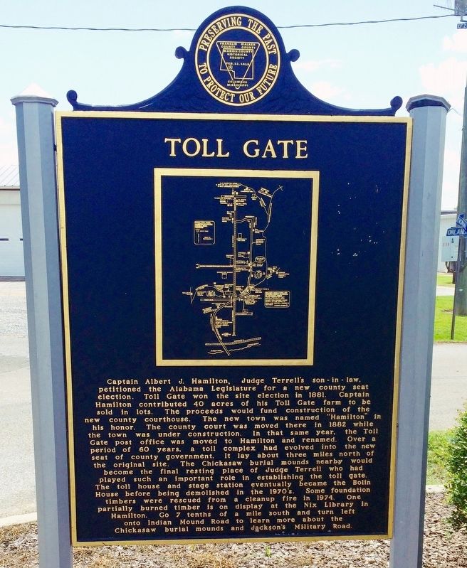
Captain Albert J. Hamilton, Judge Terrell's son-in-law, petitioned the Alabama legislature for a new county seat election. Toll Gate won the site election in 1881. Captain Hamilton contributed 40 acres of his Toll Gate farm to be sold in lots. The proceeds would fund construction of the new county courthouse. The new town was named "Hamilton" in his honor. The county court was moved there in 1882 while the town was under construction. In that same year, the Toll Gate post office was moved to Hamilton and renamed. Over a period of 60 years, a toll complex had evolved into the new seat of county government. It lay about three miles north of the original site. The Chickasaw burial mounds nearby would become the final resting place of Judge Terrell who had played such an important role in establishing the toll gate. The toll house and stage station eventually became the Bolin House before being demolished in the 1970's. Some foundation timbers were rescued from a cleanup fire in 1974. One partially burned timber is on display at the Nix Library in Hamilton. Go 7 tenths of a mile south and turn left onto Indian Mound Road to learn more about the Chickasaw burial mounds and Jackson's Military Road.
Side 2
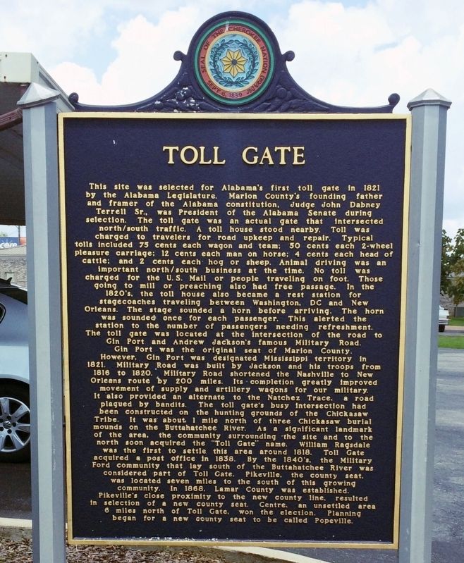
This site was selected for Alabama's first toll gate in 1821 by the Alabama Legislature. Marion County's founding father and framer of the Alabama constitution, Judge John Dabney Terrell Sr., was President of the Alabama Senate during selection. The toll gate was an actual gate that intersected north/south traffic. A toll house stood nearby. Toll was charged to travelers for road upkeep and repair. Typical tolls included 75 cents each wagon and team; 50 cents each 2-wheel pleasure carriage; 12 cents each man on horse; 4 cents each head of cattle; and 2 cents each hog or sheep. Animal driving was an important north/south business at the time. No toll was charged for the U.S. Mail or people traveling on foot. Those going to mill or preaching also had free passage. In the 1820's, the toll house also became a rest station for stagecoaches traveling between Washington, DC and New Orleans. The stage sounded a horn before arriving. The horn was sounded once for each passenger. This alerted the station to the number of passengers needing refreshment. The toll gate was located at the intersection of the road to Gin Port and Andrew Jackson's famous Military Road. Gin Port was the original seat of Marion County. However, Gin Port was designated Mississippi territory in 1821. Military Road was built by Jackson and his troops from 1816 to 1820. Military Road shortened the Nashville to New Orleans route by 200 miles. Its completion greatly improved movement of supply and artillery wagons for our military. It also provided an alternate to the Natchez Trace, a road plagued by bandits. The toll gate's busy intersection had been constructed on the hunting grounds of the Chickasaw Tribe. It was about 1 mile north of three Chickasaw mounds on the Buttahatchee River. As a significant landmark of the area, the community surounding the site and to the north soon acquired the "Toll Gate" name. William Ragsdale was the first to settle this area around 1818. Toll Gate acquired a post office in 1838. By the 1840's, the Military Ford community that lay south of the Buttahatchee River was considered part of Toll Gate. Pikeville, the county seat, was located seven miles to the south of this growing community. In 1868, Lamar County was established. Pikeville's close proximity to the new county line, resulted in selection of a new county seat. Centre, an unsettled area 6 miles north of Toll Gate, won the election. Planning began for a new county seat to be called Popeville.
Erected by Marion County Historical Society.
Topics. This historical marker is listed in these topic lists: Notable Places • Roads & Vehicles • Settlements & Settlers. A significant historical year for this entry is 1881.
Location.
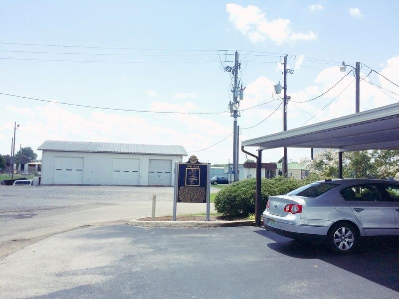
34° 6.768′ N, 87° 59.321′ W. Marker is in Hamilton, Alabama, in Marion County. Marker is at the intersection of Orlando Street and National Avenue, on the left when traveling east on Orlando Street. Touch for map. Marker is at or near this postal address: 130 Orlando Street, Hamilton AL 35570, United States of America. Touch for directions.
Other nearby markers. At least 8 other markers are within 11 miles of this marker, measured as the crow flies. The Hamilton Mounds Site (approx. 1.1 miles away); Hamilton, Alabama (approx. 1.7 miles away); History of Marion Territory and Marion County Courts (approx. 2 miles away); The First Alabama Cavalry (approx. 2 miles away); Confederate Veterans Bicentennial Memorial (approx. 2 miles away); General Jackson's Military Road (approx. 2.7 miles away); Historical Pikeville (approx. 5.4 miles away); City of Guin, Alabama: The Early Years / The Storms of 1974 (approx. 11 miles away). Touch for a list and map of all markers in Hamilton.
Credits. This page was last revised on May 31, 2021. It was originally submitted on August 12, 2016, by Mark Hilton of Montgomery, Alabama. This page has been viewed 769 times since then and 77 times this year. Photos: 1, 2, 3, 4. submitted on August 12, 2016, by Mark Hilton of Montgomery, Alabama.


