Near Magnolia in Hart County, Kentucky — The American South (East South Central)
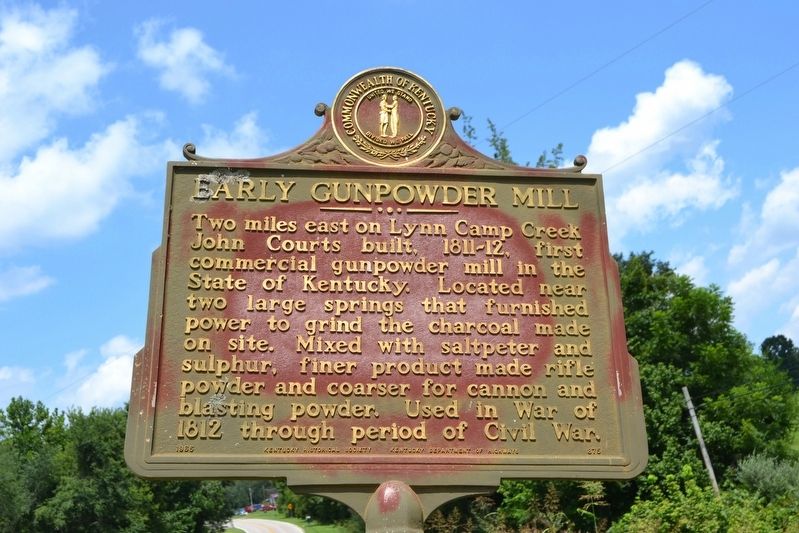
Early Gunpowder Mill
Erected 1965 by Kentucky Historical Society, Kentucky Department of Highways. (Marker Number 875.)
Topics and series. This historical marker is listed in these topic lists: Industry & Commerce • War of 1812 • War, US Civil. In addition, it is included in the Kentucky Historical Society series list. A significant historical year for this entry is 1811.
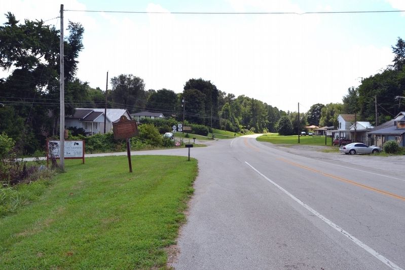
Location. 37° 20.812′ N, 85° 45.284′ W. Marker is near Magnolia, Kentucky, in Hart County. Marker is at the intersection of U.S. 31E and Powder Mill Road (Kentucky Highway 569), on the right when traveling north on U.S. 31E. Touch for map. Marker is in this post office area: Magnolia KY 42757, United States of America. Touch for directions.
Other nearby markers. At least 8 other markers are within 9 miles of this marker, measured as the crow flies. Site, Aetna Furnace (approx. 2.7 miles away); On Washington's Guard (approx. 5.4 miles away); Bacon Creek Bridge (approx. 8.4 miles away); a different marker also named Bacon Creek Bridge (approx. 8.4 miles away); Bacon Creek Trestle (approx. 8.4 miles away); An Indian Ambush (approx. 8.4 miles away); The Pump Tower (approx. 8.9 miles away); Living on the Land (approx. 8.9 miles away).
Credits. This page was last revised on August 13, 2016. It was originally submitted on August 13, 2016, by Duane Hall of Abilene, Texas. This page has been viewed 509 times since then and 43 times this year. Photos: 1, 2. submitted on August 13, 2016, by Duane Hall of Abilene, Texas.

