Mt. Vernon in Linn County, Iowa — The American Midwest (Upper Plains)
The Old Military Road
Dubuque to the Northern Boundary of Missouri
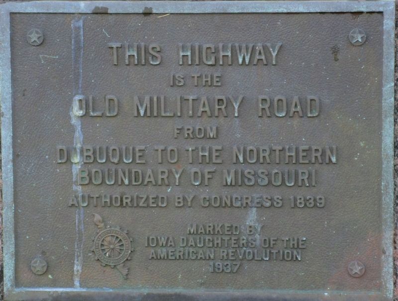
Photographed by Rev. Ronald Irick, July 12, 2016
1. The Old Military Road Marker
Erected 1937 by Iowa Daughters of the American Revolution.
Topics and series. This historical marker is listed in this topic list: Roads & Vehicles. In addition, it is included in the Daughters of the American Revolution (DAR) series list. A significant historical year for this entry is 1839.
Location. 41° 55.112′ N, 91° 25.221′ W. Marker is in Mt. Vernon, Iowa, in Linn County. It is on South First Avenue (State Highway 1), on the right when traveling north. Touch for map. Marker is at or near this postal address: 508 1st Avenue South, Mount Vernon IA 52314, United States of America. Touch for directions.

Regionally, this marker is in Eastern Iowa. It is also in the American Midwest and in the Corn Belt. Globally, it is in North America, the Western Hemisphere, the Western World, and the Anglosphere. Historically, it finds itself in what was once the territory of the Mississippian Culture and also the Louisiana Purchase.
Other nearby markers. At least 8 other markers are within 3 miles
this page online
Additional keywords. Daughters of the American Revolution
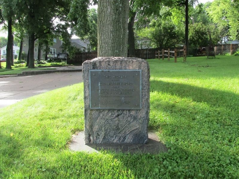
Photographed by Rev. Ronald Irick, July 12, 2016
2. The Old Military Road Marker
Full view of marker, in lawn by roadside
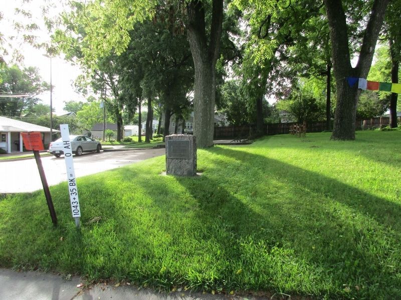
Photographed by Rev. Ronald Irick, July 12, 2016
3. The Old Military Road Marker
Marker can be seen at a distance
Credits. This page was last revised on August 15, 2016. It was originally submitted on August 14, 2016, by Rev. Ronald Irick of West Liberty, Ohio. This page has been viewed 896 times since then and 71 times this year. Photos: 1, 2, 3. submitted on August 14, 2016, by Rev. Ronald Irick of West Liberty, Ohio. • Bill Pfingsten was the editor who published this page.
